Fishes Otter Creek, White River (Vermont)
River · Upper Valley · Vermont
White River (Vermont) Fishing Guides
The longest undammed tributary of the Connecticut River, sixty miles of free-flowing Vermont freestone water with wild trout and five branches worth exploring.
Map of the White River (Vermont)
39 numbered points: 4 access points, 1 campsite, 1 bait & fly shop, 22 bridges, 7 parks and conservation areas, 1 agency office, 2 regulation section limits, 1 USGS gauge. Tap a marker for details. Reviewed Sep 26, 2026.
- Access / boat ramp (4)
- Campsite (1)
- Bait, tackle & fly shop (1)
- Bridge crossing (22)
- Park / conservation area (7)
- Agency / conservation office (1)
- Regulation section limit (2)
- USGS gauge (1)
Map data © OpenStreetMap contributors. Points are curated from OpenStreetMap and state agency sources; confirm access and hours before you go.
Print it. Bag it. Bring it.Phones die, screens crack, and most of this water has no signal. Print this map, fold it into a zip-top bag or dry bag with your license, and you have a backup your electronics can’t give you. Every marker is numbered so you can say exactly where you are.
Open the printable mapAll 39 points on this map
| # | Point | Type | Lat, Lon | Notes |
|---|---|---|---|---|
| 1 | Mill Road | Bridge crossing | 43.98506, -72.84824 | |
| 2 | Post Office Hill Road | Bridge crossing | 43.98536, -72.84665 | |
| 3 | Vermont Route 100 | Bridge crossing | 43.95837, -72.84041 | |
| 4 | Churchville Road | Bridge crossing | 43.91840, -72.83981 | |
| 5 | Vermont Route 100 North | Bridge crossing | 43.89776, -72.82144 | |
| 6 | Beans Bridge Road | Bridge crossing | 43.88424, -72.81020 | |
| 7 | River Brook Drive | Bridge crossing | 43.87739, -72.80870 | |
| 8 | Brandon Mountain Road | Bridge crossing | 43.86343, -72.81051 | |
| 9 | State Garage Road | Bridge crossing | 43.85850, -72.80606 | |
| 10 | Liberty Hill | Bridge crossing | 43.83870, -72.80038 | |
| 11 | Refrigerator Flats Vermont F and W, Bethel | Access / boat ramp | 43.76430, -72.74290 | Shore-fishing access. |
| 12 | Blackmer Boulevard | Bridge crossing | 43.75972, -72.72315 | |
| 13 | Vermont Route 107 Stockbridge | Bridge crossing | 43.76541, -72.71169 | |
| 14 | Lilliesville Brook confluence, Stockbridge Special-regulation reach limit | Regulation section limit | 43.79186, -72.67839 | Upstream limit of the White River special-regulation reach in Stockbridge and Bethel. Its downstream limit is 220 ft below the Cleveland Brook confluence, which OSM does not carry, so it is unmarked. |
| 15 | Rood State Park | Park / conservation area | 43.81062, -72.66066 | |
| 16 | White River National Fish Hatchery US Fish and Wildlife Service | Agency / conservation office | 43.81047, -72.65732 | |
| 17 | Peavine Park Bethel | Park / conservation area | 43.82685, -72.63471 | |
| 18 | River Street Access Bethel | Park / conservation area | 43.82675, -72.63299 | Tagged as a park in OSM; it is the riverside access on River Street. |
| 19 | River Street Bethel | Bridge crossing | 43.82730, -72.63182 | |
| 20 | Foxstand Vermont F and W, Royalton | Access / boat ramp | 43.82300, -72.56520 | Shore-fishing access. |
| 21 | Royalton Hill Road | Bridge crossing | 43.82258, -72.56600 | |
| 22 | Bridge Street South Royalton | Bridge crossing | 43.81370, -72.54430 | |
| 23 | Vermont Route 14 | Bridge crossing | 43.82406, -72.52063 | |
| 24 | Chelsea Street | Bridge crossing | 43.82294, -72.51934 | |
| 25 | Hendersons Hide-A-Way Campground | Campsite | 43.80561, -72.50404 | |
| 26 | River Road | Bridge crossing | 43.78225, -72.45973 | |
| 27 | White River Ledges Natural Area The Nature Conservancy | Park / conservation area | 43.72349, -72.43432 | |
| 28 | Tigertown Road | Bridge crossing | 43.71749, -72.41771 | |
| 29 | USGS gauge - White River at West Hartford Live flow and stage | USGS gauge | 43.71424, -72.41815 | |
| 30 | Quechee West Hartford Road West Hartford | Bridge crossing | 43.71209, -72.41801 | |
| 31 | Boat launch at West Hartford Unnamed slipway in OSM | Access / boat ramp | 43.71166, -72.41823 | |
| 32 | John Hazen Lane | Bridge crossing | 43.70421, -72.41097 | |
| 33 | V.A. Cutoff Road | Bridge crossing | 43.65985, -72.33940 | |
| 34 | Watson Park Hartford | Park / conservation area | 43.65754, -72.33430 | |
| 35 | Veterans Memorial Park Town of Hartford | Park / conservation area | 43.64960, -72.31821 | |
| 36 | Lyman Point Park White River Junction | Park / conservation area | 43.65071, -72.31677 | |
| 37 | Gear Again Used outdoor gear, White River Junction | Bait, tackle & fly shop | 43.64727, -72.31904 | A consignment gear shop rather than a fly shop, so check before relying on it for tackle. |
| 38 | Boat launch at White River Junction Unnamed slipway in OSM | Access / boat ramp | 43.65030, -72.31368 | |
| 39 | Connecticut River boundary Special regulation reach limit | Regulation section limit | 43.64838, -72.31378 | The mouth is the downstream limit of the named White River special regulation trout stream reach. Its upstream limit, the Route 107 bridge in Bethel, could not be placed in OSM and is unmarked. |
Guides on the White River (Vermont)
Claimed profiles take booking requests. Unclaimed profiles are built from public records so the river is never empty; the guide can claim or remove one any time.
About the White River (Vermont)
The White River runs about sixty miles from the Green Mountains near Granville down through Rochester, Bethel, Royalton and Sharon to the Connecticut River at White River Junction, and it does it without a single dam. That makes it the longest free-flowing tributary of the Connecticut and gives it a natural character that most New England rivers of this size have lost. Five branches feed it, the First, Second, Third and Tugaloo branches and the main stem headwaters, and each is a small trout stream of its own.
Wild brown and rainbow trout hold through the main stem, brook trout live in the branches and the colder headwaters, and the lower river below Sharon warms enough that smallmouth bass take over in summer. This is a classic freestone river to fish: riffle, run, pool, repeat, with pocket water around ledges and boulders and good hatches through spring and early summer. It is also a beautiful river to float, and the reaches around Stockbridge and Bethel are popular with paddlers.
The West Hartford gauge reads the lower main stem. Being free-flowing, this river is entirely weather-driven: spring melt makes it big and cold, summer thunderstorms spike it for a day and then it drops and clears, and by August it can be very low and warm enough that trout anglers should watch water temperatures and fish the branches or the early morning instead. That responsiveness is the trade for having no dam upstream.
Bethel, Royalton, Stockbridge and Rochester are the towns along Route 107 and Route 100, and White River Junction sits at the mouth. Access is generous, with numerous pullouts and bridges the whole length.
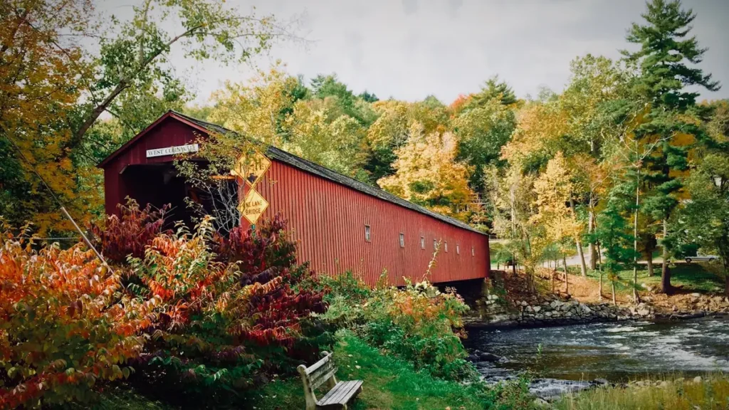
This water needs a real photo
The photo at the top of this page is not White River (Vermont).
It is a regional stand-in, honestly captioned but generic — we will not put a name to a river we cannot prove. Send us a photograph you took here and it replaces the stand-in, with your credit on it.
Pioneer badgeUnclaimed
Add a photo of this water
Landscape, not fish — the water itself. Reviewed by hand before it appears. The first one published here earns the Pioneer badge.
Fished this water? Add a photo
Reviewed by hand before it appears. Pick the water, not the spot — we never publish exact locations.
Access
West Hartford: lower river access at the gauge.
Sharon and South Royalton: main-stem access with parking off Route 14.
Bethel: the Third Branch confluence and town access.
Stockbridge and Gaysville: the popular float and swim reach.
Rochester and Granville: upper main stem, small and wooded.
First, Second and Third Branches: separate small-stream fisheries.
Tunbridge and Chelsea: First Branch access in the hill country.
Seasons
April and May: high cold runoff, then the first good hatches as it drops.
June: the best month on the main stem, caddis and mayflies and comfortable flows.
July and August: low and warm on the main stem; fish the branches, the headwaters or early mornings.
September and October: cooling water, fall colors, wild browns and almost no anglers.
From the water
No logged trips yet. Be the first to put this water on your map.
Log this water
Fished it or cleaned it? Log in or create a free account to log a trip with photos and earn the waterway badge.
Questions
What is the current flow on the White River (Vermont)?
As of Oct 19, 3:30 am, the USGS gauge WHITE RIVER AT WEST HARTFORD, VT reads 508 cfs, the 56th percentile for this date. Conditions update every 15 minutes.
What species can you catch on the White River (Vermont)?
Anglers target Atlantic Salmon, Brook Trout, Brown Trout, Rainbow Trout, Smallmouth Bass on the White River (Vermont) in Vermont.
Are there fishing guides on the White River (Vermont)?
GuidedFloats lists 2 guides and outfitters on the White River (Vermont). Claimed profiles accept booking requests; unclaimed profiles are built from public records and link to the business.
Where can you access the White River (Vermont)?
West Hartford: lower river access at the gauge. Sharon and South Royalton: main-stem access with parking off Route 14. Bethel: the Third Branch confluence and town access. Stockbridge and Gaysville: the popular float and swim reach. Rochester and Granville: upper main stem, small and wooded. First, Second and Third Branches: separate small-stream fisheries. Tunbridge and Chelsea: First Branch access in the hill country.
When is the best time to fish the White River (Vermont)?
April and May: high cold runoff, then the first good hatches as it drops. June: the best month on the main stem, caddis and mayflies and comfortable flows. July and August: low and warm on the main stem; fish the branches, the headwaters or early mornings. September and October: cooling water, fall colors, wild browns and almost no anglers.
Where are the fishing regulations for the White River (Vermont)?
Regulations change by season and section. Read the current rules on the Vermont agency site: https://vtfishandwildlife.com/fish/fishing-regulations