White River Fishing Guides
A remote desert river in the Uinta Basin draining four thousand square miles of plateau country, floated for smallmouth and catfish between Watson and the Green.
Guides on the White River
Claimed profiles take booking requests. Unclaimed profiles are built from public records so the river is never empty; the guide can claim or remove one any time.
No guides listed yet
Guide or outfit this water? Create your profile. Listing is free, the commission is 10% or 7% with a premium profile, and premium profiles list first on this water.
About the White River
The White River rises in the Flat Tops of Colorado and runs west across the plateau country into Utah, where it crosses some of the emptiest ground in the state before joining the Green River below Ouray. At the Watson gauge it drains better than four thousand square miles, and it is a genuine desert river by that point: sandstone canyon and open bench country, cottonwood bottoms, long sandy runs broken by occasional rock, and almost nobody on it. That emptiness is the main attraction. Anglers who float it do so partly for the fishing and partly because a multi-day trip here feels a long way from anywhere.
The fishery is a warmwater one in Utah. Smallmouth bass are the primary quarry and they do well in the rocky reaches and on the current seams, and channel catfish are abundant through the deeper sandy holes and are the easiest fish in the river to catch. Carp and white suckers are everywhere. Trout appear in the upper reaches and in the Colorado water above, and brown trout, rainbows and mountain whitefish hold in the cooler stretches and near the colder tributary inflows, so a float can produce a mixed bag if it starts high enough. This is float water above all else: access is limited, the road network is sparse and oilfield-dominated, and a raft or canoe opens far more of the river than any vehicle will.
The gauge at Watson reports water temperature as well as discharge and stage, which is genuinely valuable on a desert river where the thermal swing is the main constraint on the fishing. The temperature trace tells an angler when the smallmouth will be active and when the water has become too warm to handle fish responsibly, and the flow trace tells whether a float is viable at all: the spring runoff is high and muddy, the summer baseflow is low enough to make long sandy stretches a drag, and the autumn is usually the sweet spot. Plan for self-sufficiency, because help is a long way off.
This water needs a real photo
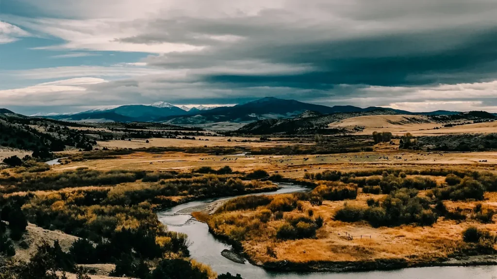
The photo at the top of this page is not White River.
It is a regional stand-in, honestly captioned but generic — we will not put a name to a river we cannot prove. Send us a photograph you took here and it replaces the stand-in, with your credit on it.
Add a photo of this water
Landscape, not fish — the water itself. Reviewed by hand before it appears. The first one published here earns the Pioneer badge.
Fished this water? Add a photo
Reviewed by hand before it appears. Pick the water, not the spot — we never publish exact locations.
Access
Watson - the gauge location and the reference point for judging a float on the lower river.
Vernal - the regional centre to the north, with outfitters, tackle, lodging and shuttle services.
Ouray - the community near the Green River confluence and the usual take-out area.
Green River confluence - the downstream end of the Utah reach, where the White meets the Green.
Bonanza - the oilfield community on the bench country above the river.
Rainbow - the remote access area on the middle Utah reach.
Colorado state line - the upstream boundary, above which the river holds more trout water.
Seasons
Spring: high, muddy snowmelt water that makes floating difficult and the fishing poor until the river begins to drop.
Summer: warm and low, with good smallmouth and catfish fishing early and late in the day and the temperature trace worth watching closely.
Fall: the best season by a clear margin, with cooling water, settled flows and active smallmouth through the canyon reaches.
Winter: cold, remote and effectively unfished, with access roads unreliable and nothing to recommend a trip.
From the water
No logged trips yet. Be the first to put this water on your map.
Log this water
Fished it or cleaned it? Log in or create a free account to log a trip with photos and earn the waterway badge.
Questions
What is the current flow on the White River?
As of Nov 2, 6:45 am, the USGS gauge WHITE RIVER NEAR WATSON, UTAH reads 480 cfs, with water temperature 49.6 F. Conditions update every 15 minutes.
What species can you catch on the White River?
Anglers target Brown Trout, Carp, Channel Catfish, Mountain Whitefish, Rainbow Trout, Smallmouth Bass, White Sucker on the White River in Utah.
Where can you access the White River?
Watson - the gauge location and the reference point for judging a float on the lower river. Vernal - the regional centre to the north, with outfitters, tackle, lodging and shuttle services. Ouray - the community near the Green River confluence and the usual take-out area. Green River confluence - the downstream end of the Utah reach, where the White meets the Green. Bonanza - the oilfield community on the bench country above the river. Rainbow - the remote access area on the middle Utah reach. Colorado state line - the upstream boundary, above which the river holds more trout water.
When is the best time to fish the White River?
Spring: high, muddy snowmelt water that makes floating difficult and the fishing poor until the river begins to drop. Summer: warm and low, with good smallmouth and catfish fishing early and late in the day and the temperature trace worth watching closely. Fall: the best season by a clear margin, with cooling water, settled flows and active smallmouth through the canyon reaches. Winter: cold, remote and effectively unfished, with access roads unreliable and nothing to recommend a trip.
Where are the fishing regulations for the White River?
Regulations change by season and section. Read the current rules on the Utah agency site: https://wildlife.utah.gov/guidebooks.html