South Fork Ogden River Fishing Guides
The tailwater below Causey Reservoir running west through the Ogden Valley toward Pineview, a cold, accessible wild brown trout river within easy reach of the Wasatch Front.
Map of the South Fork Ogden River
14 numbered points: 7 campsites, 1 bridge, 1 park or conservation area, 3 hazards, 1 USGS gauge, 1 point of interest. Tap a marker for details. Reviewed Sep 24, 2026.
- Campsite (7)
- Bridge crossing (1)
- Park / conservation area (1)
- Dam / hazard (3)
- USGS gauge (1)
- Point of interest (1)
Print it. Bag it. Bring it.Phones die, screens crack, and most of this water has no signal. Print this map, fold it into a zip-top bag or dry bag with your license, and you have a backup your electronics can’t give you. Every marker is numbered so you can say exactly where you are.
Open the printable mapAll 14 points on this map
| # | Point | Type | Lat, Lon | Notes |
|---|---|---|---|---|
| 1 | Causey Dam Head of the tailwater | Dam / hazard | 41.29831, -111.58777 | Weber Basin Water Conservancy District dam at the top of the reach; National Inventory of Dams UT10116, crest about 1,736 m. Everything on this sheet is downstream of it. |
| 2 | Man-made drop below Causey Dam Unnamed in OpenStreetMap | Dam / hazard | 41.29632, -111.59005 | OpenStreetMap maps a man-made drop about 0.4 km below the dam, inside Weber County Memorial Park. It carries no name in OSM, so it is printed by position only. |
| 3 | USGS 10137300 - South Fork Ogden River below Causey Reservoir Streamgage the water page reads | USGS gauge | 41.29615, -111.59142 | The gauge this river's conditions are read from. OpenStreetMap carries the same station about 0.5 km below the dam, which is the cross-check that put it on this reach. |
| 4 | Weber County Memorial Park 14374 Causey Road | Park / conservation area | 41.29635, -111.59810 | Weber County day-use park and campground on the South Fork immediately below Causey Dam, the first public river frontage on the reach. The campground loop sits at its upstream end. |
| 5 | Willows Campground Uinta-Wasatch-Cache National Forest | Campsite | 41.29175, -111.63340 | Uppermost of the seven, about two miles below Causey Reservoir. One of seven Forest Service campgrounds along SR-39 in the South Fork complex; river fishing is an on-site amenity. |
| 6 | Upper Meadows Campground Uinta-Wasatch-Cache National Forest | Campsite | 41.29083, -111.63562 | Sites set well apart; the camp host is down at Lower Meadows. One of seven Forest Service campgrounds along SR-39 in the South Fork complex; river fishing is an on-site amenity. |
| 7 | Perception Park Campground Uinta-Wasatch-Cache National Forest | Campsite | 41.28915, -111.63994 | The Forest Service calls this the Perception Park FAMILY campground; its three group units are not printed. One of seven Forest Service campgrounds along SR-39 in the South Fork complex; river fishing is an on-site amenity. |
| 8 | Lower Meadows Campground Uinta-Wasatch-Cache National Forest | Campsite | 41.28731, -111.64417 | Individual sites set quite far apart; the complex camp host is here. One of seven Forest Service campgrounds along SR-39 in the South Fork complex; river fishing is an on-site amenity. |
| 9 | South Fork Campground Uinta-Wasatch-Cache National Forest | Campsite | 41.28025, -111.65476 | Host in site 21; Causey Reservoir is about four miles upstream by road. One of seven Forest Service campgrounds along SR-39 in the South Fork complex; river fishing is an on-site amenity. |
| 10 | Botts Campground Uinta-Wasatch-Cache National Forest | Campsite | 41.27752, -111.65795 | A small campground with no on-site host. One of seven Forest Service campgrounds along SR-39 in the South Fork complex; river fishing is an on-site amenity. |
| 11 | Magpie Campground Uinta-Wasatch-Cache National Forest | Campsite | 41.27086, -111.66577 | Lowest of the seven, about five miles below Causey Reservoir. One of seven Forest Service campgrounds along SR-39 in the South Fork complex; river fishing is an on-site amenity. |
| 12 | USGS 10137500 - South Fork Ogden River near Huntsville Second streamgage, lower river | Point of interest | 41.26849, -111.67404 | A second USGS streamgage about four miles above the Pineview inflow. The water page reads the upper gauge; this one is printed as a landmark, not as this river's conditions gauge. |
| 13 | 10450 East bridge Huntsville Hollow crossing | Bridge crossing | 41.25916, -111.69748 | Road crossing at the Huntsville end of the reach. OpenStreetMap maps a diversion weir immediately at the crossing, so treat it as a hazard marker as well as a landmark. |
| 14 | Diversion weir above Pineview Unnamed in OpenStreetMap | Dam / hazard | 41.25892, -111.70098 | Second mapped weir, roughly 0.3 km below the 10450 East crossing and about a kilometre above the Pineview inflow. Unnamed in OSM, printed by position only. |
Guides on the South Fork Ogden River
Claimed profiles take booking requests. Unclaimed profiles are built from public records so the river is never empty; the guide can claim or remove one any time.
No guides listed yet
Guide or outfit this water? Create your profile. Listing is free, the commission is 10% or 7% with a premium profile, and premium profiles list first on this water.
About the South Fork Ogden River
The South Fork of the Ogden River leaves Causey Reservoir east of Huntsville and runs west down a canyon and then through the open Ogden Valley toward Pineview Reservoir. The gauge sits immediately below Causey, and the station name says plainly what this water is: a tailwater, with its temperature and flow governed by releases from the dam rather than by what the weather is doing on the day you fish it.
That is the central fact of the fishery. Cold water drawn from the reservoir keeps the river below Causey cool through the Utah summer, when unregulated streams at this elevation warm considerably, and it moderates winter conditions as well. The result is a river that fishes across a longer season than its neighbours and grows trout well on a stable, insect rich flow. Releases do change, sometimes sharply, so checking the gauge before driving up the canyon is a habit worth keeping.
Wild brown trout are the backbone of the fishery and are the fish most anglers come for. Rainbow trout are present and stocked in places, cutthroat trout occur through the system, brook trout turn up in the colder tributary water, and mountain whitefish are common and provide steady winter sport.
The river is pocket water and riffle and pool through the canyon, with better defined runs as the valley opens. Much of it is genuinely accessible, with the highway following the river and Forest Service campgrounds along the corridor, which matters in a state where good trout water often requires a hike, and it makes this a practical river for a short evening trip out of the city.
Ogden is less than an hour away, so this river carries real pressure on summer weekends. Weekdays are a different experience, and early season or late fall visits reward anglers who can arrange them.
This water needs a real photo
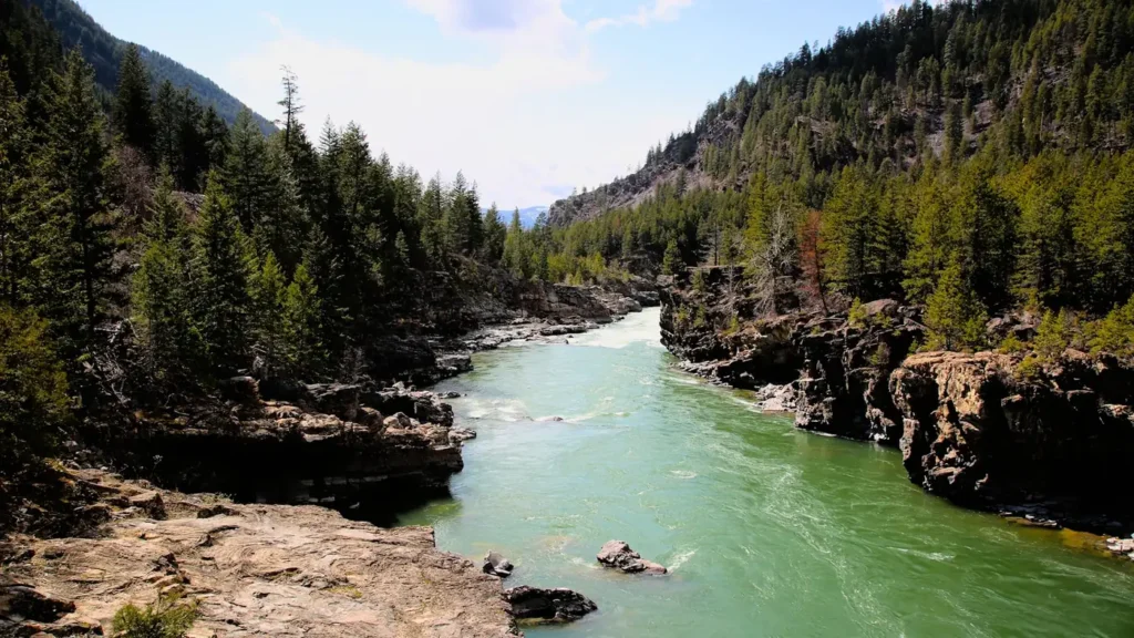
The photo at the top of this page is not South Fork Ogden River.
It is a regional stand-in, honestly captioned but generic — we will not put a name to a river we cannot prove. Send us a photograph you took here and it replaces the stand-in, with your credit on it.
Add a photo of this water
Landscape, not fish — the water itself. Reviewed by hand before it appears. The first one published here earns the Pioneer badge.
Fished this water? Add a photo
Reviewed by hand before it appears. Pick the water, not the spot — we never publish exact locations.
Access
Huntsville - the valley town nearby, with food, fuel and lodging.
Ogden - the city west, under an hour away, with full services, fly shops and guides.
Causey Reservoir - the impoundment at the top, the source of the tailwater releases.
Highway 39 corridor - the road following the river with numerous pullouts and access.
Forest Service campgrounds - several developed sites along the river canyon.
Pineview Reservoir - the larger reservoir downstream, with warmwater and trout fishing.
Ogden River - the mainstem below Pineview, including a restored reach through the city.
Seasons
Spring: releases increase with runoff management and the river can run high and cold.
Summer: cold tailwater keeps trout active through the heat, and pressure is heaviest on weekends.
Fall: brown trout spawn and colour up, and the fishing is at its best as crowds thin.
Winter: the tailwater stays open below the dam, with midge and whitefish fishing on milder days.
From the water
No logged trips yet. Be the first to put this water on your map.
Log this water
Fished it or cleaned it? Log in or create a free account to log a trip with photos and earn the waterway badge.
Questions
What is the current flow on the South Fork Ogden River?
As of Oct 18, 5:00 pm, the USGS gauge SOUTH FK OGDEN R BL CAUSEY RES NR HUNTSVILLE, UTAH reads 8 cfs. Conditions update every 15 minutes.
What species can you catch on the South Fork Ogden River?
Anglers target Brook Trout, Brown Trout, Cutthroat Trout, Mountain Whitefish, Rainbow Trout on the South Fork Ogden River in Utah.
Where can you access the South Fork Ogden River?
Huntsville - the valley town nearby, with food, fuel and lodging. Ogden - the city west, under an hour away, with full services, fly shops and guides. Causey Reservoir - the impoundment at the top, the source of the tailwater releases. Highway 39 corridor - the road following the river with numerous pullouts and access. Forest Service campgrounds - several developed sites along the river canyon. Pineview Reservoir - the larger reservoir downstream, with warmwater and trout fishing. Ogden River - the mainstem below Pineview, including a restored reach through the city.
When is the best time to fish the South Fork Ogden River?
Spring: releases increase with runoff management and the river can run high and cold. Summer: cold tailwater keeps trout active through the heat, and pressure is heaviest on weekends. Fall: brown trout spawn and colour up, and the fishing is at its best as crowds thin. Winter: the tailwater stays open below the dam, with midge and whitefish fishing on milder days.
Where are the fishing regulations for the South Fork Ogden River?
Regulations change by season and section. Read the current rules on the Utah agency site: https://wildlife.utah.gov/guidebooks.html