Ogden River below Pineview Reservoir Fishing Guides
The tailwater through Ogden Canyon below Pineview Reservoir, a short, steep, accessible trout river with wild brown trout minutes from a city of seventy thousand.
Map of the Ogden River below Pineview Reservoir
15 numbered points: 1 access point, 3 bridges, 5 parks and conservation areas, 1 regulation section limit, 2 hazards, 1 spring, 1 USGS gauge, 1 point of interest. Tap a marker for details. Reviewed Sep 24, 2026.
- Access / boat ramp (1)
- Bridge crossing (3)
- Park / conservation area (5)
- Regulation section limit (1)
- Dam / hazard (2)
- Spring (1)
- USGS gauge (1)
- Point of interest (1)
Print it. Bag it. Bring it.Phones die, screens crack, and most of this water has no signal. Print this map, fold it into a zip-top bag or dry bag with your license, and you have a backup your electronics can’t give you. Every marker is numbered so you can say exactly where you are.
Open the printable mapAll 15 points on this map
| # | Point | Type | Lat, Lon | Notes |
|---|---|---|---|---|
| 1 | Pineview Dam Head of the tailwater | Dam / hazard | 41.25435, -111.84238 | Dam at the top of the reach; OSM records the operator as the Ogden River Water Users Association. Flow below here is release-driven, so check the gauge before committing to a float. |
| 2 | Ogden River, Weber County - special-regulation reach Pineview Dam to the first bridge | Regulation section limit | 41.25383, -111.85036 | Utah DWR names a reach from Pineview Dam downstream to the first bridge, about one-half mile. This SR 39 crossing is that bridge - it sits 0.43 mi below the dam. Read the current guidebook for what applies here. |
| 3 | USGS 10140100 Ogden River below Pineview Reservoir USGS 10140100 | USGS gauge | 41.25439, -111.85577 | Identity confirmed against the USGS NWIS site service; the monitoring-station node on the bank carries the same ref. Coordinates taken from the site roster, not from the map. |
| 4 | Unnamed drop at the canyon mouth Beside Canal Access Road | Dam / hazard | 41.23724, -111.92396 | OSM tags a waterway=waterfall here, next to a canal access road where the canyon opens out - most likely a diversion structure. Not field-verified; scout before running it. |
| 5 | Ogden Hot Spring Ogden Canyon Road | Spring | 41.23576, -111.92464 | Named spring on the bank at the canyon mouth, about 11 m off the channel. |
| 6 | George S. Eccles Dinosaur Park Ogden River Parkway | Park / conservation area | 41.23808, -111.93760 | Riverside city park on the Ogden River Parkway at the canyon mouth. Paid attraction, but the parkway and riverbank alongside it are open. |
| 7 | Harrison Boulevard bridge SR 203 | Bridge crossing | 41.23682, -111.94616 | First of the three signed arterial crossings through the city; useful for orientation on a printed sheet. |
| 8 | Ogden Botanical Gardens Operated by Utah State University | Park / conservation area | 41.23496, -111.95311 | Riverside gardens on the parkway with parking; a convenient mid-river foot access. |
| 9 | Lorin Farr Park Ogden River Parkway | Park / conservation area | 41.23711, -111.95930 | Large Ogden city park straddling the river, with parking, the parkway and open bank. |
| 10 | Washington Boulevard bridge US 89 | Bridge crossing | 41.23375, -111.97019 | Downtown crossing; the restored river-corridor reach runs from about here downstream. |
| 11 | Ogden River Parkway slipway Ogden River Parkway | Access / boat ramp | 41.23332, -111.97331 | The only slipway OSM records on the reach, 8 m off the channel on the parkway. Left unnamed in OSM; named here for the parkway it sits on. |
| 12 | High Adventure Park Ogden River Parkway | Park / conservation area | 41.23415, -111.97438 | Riverside park on the parkway beside the restored downtown reach. |
| 13 | Wall Avenue bridge SR 204 | Bridge crossing | 41.23424, -111.97857 | Last signed arterial crossing before the river leaves the city grid. |
| 14 | 21st Street Pond Community pond beside the river | Point of interest | 41.23279, -111.99263 | Small still water about 150 m off the Ogden River with its own trail; a separate fishery from the river itself. |
| 15 | River Cove Trail Head Lower river | Park / conservation area | 41.23615, -112.00116 | Trailhead on the lower river, the last mapped foot access above the Weber confluence. |
Guides on the Ogden River below Pineview Reservoir
Claimed profiles take booking requests. Unclaimed profiles are built from public records so the river is never empty; the guide can claim or remove one any time.
No guides listed yet
Guide or outfit this water? Create your profile. Listing is free, the commission is 10% or 7% with a premium profile, and premium profiles list first on this water.
About the Ogden River below Pineview Reservoir
The Ogden River below Pineview Reservoir runs through Ogden Canyon from the dam down to the city of Ogden, and it is one of the most accessible quality trout fisheries in Utah. The reservoir releases into it, which moderates both temperature and flow and gives the river a tailwater character over its upper reach. It drains about three hundred and twenty square miles above the gauge, and the gauge itself reads discharge and stage, the two numbers that matter most on a river whose level is set by what the dam is doing rather than by the weather.
The canyon is narrow and steep and the road runs alongside for most of it, which is both the river’s great convenience and its principal limitation. Access is easy almost everywhere and the water is never far from a parked car, but that also means the river sees pressure, particularly on the pullouts nearest the city. The reach rewards anglers willing to walk between the obvious spots. The bed is boulder and cobble with pocket water, short runs and deep holes against the canyon wall.
Brown trout are the mainstay and a good proportion are wild fish that hold over rather than stocked. Rainbow trout and cutthroat trout are present, and mountain whitefish are abundant and often overlooked, though they fish willingly through the winter when the trout are reluctant. Smallmouth bass appear in the lowest, warmest reaches near town.
The lower river through Ogden itself has been the subject of substantial restoration work, which has improved habitat and public access through an urban corridor. Flows change with irrigation demand through the summer and the river can drop quickly in late season, so checking the gauge before driving up the canyon is worth the minute it takes.
This water needs a real photo
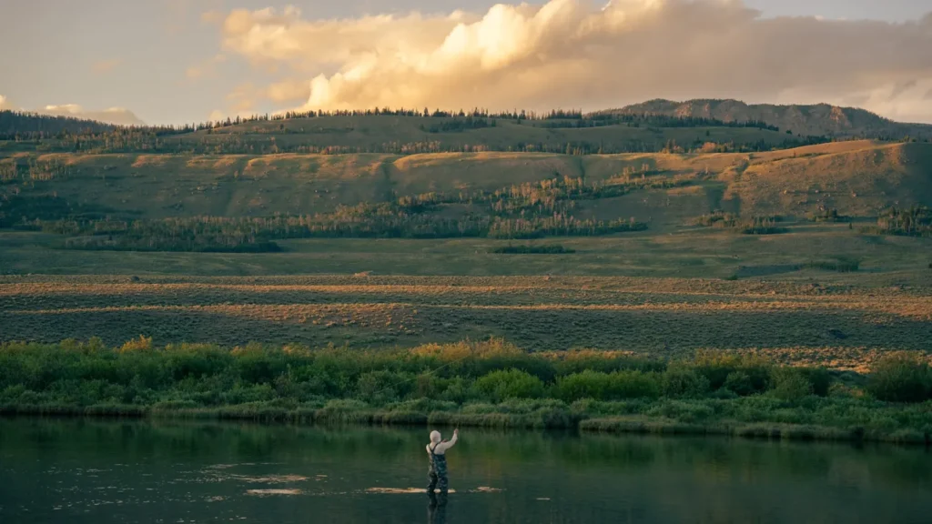
The photo at the top of this page is not Ogden River below Pineview Reservoir.
It is a regional stand-in, honestly captioned but generic — we will not put a name to a river we cannot prove. Send us a photograph you took here and it replaces the stand-in, with your credit on it.
Add a photo of this water
Landscape, not fish — the water itself. Reviewed by hand before it appears. The first one published here earns the Pioneer badge.
Fished this water? Add a photo
Reviewed by hand before it appears. Pick the water, not the spot — we never publish exact locations.
Access
Ogden - the city at the canyon mouth, with full services, tackle shops, guides and an airport nearby.
Ogden Canyon road - the highway following the river, with pullouts giving access along its length.
Huntsville - the village above the dam at Pineview, with food and lodging.
Pineview Reservoir - the impoundment above, a separate warmwater and trout fishery with ramps.
South Fork Ogden River - the tributary entering Pineview, a distinct trout stream worth its own day.
Weber River - the larger regional river nearby, offering bigger water and a different fishery.
Snowbasin area - the mountain country above the canyon for a non fishing day.
Seasons
Spring: runoff and reservoir management push flows high, and the fishing improves sharply once levels settle.
Summer: releases keep the upper river cool and fishable while irrigation demand governs how much water is in the canyon.
Fall: flows drop, brown trout move to spawn, and this is the best and most popular fishing of the year.
Winter: the tailwater stays open below the dam, whitefish feed steadily, and pressure falls away to almost nothing.
From the water
No logged trips yet. Be the first to put this water on your map.
Log this water
Fished it or cleaned it? Log in or create a free account to log a trip with photos and earn the waterway badge.
Questions
What is the current flow on the Ogden River below Pineview Reservoir?
As of Oct 18, 4:30 pm, the USGS gauge OGDEN RIVER BL PINEVIEW RES NR HUNTSVILLE, UT reads 17 cfs. Conditions update every 15 minutes.
What species can you catch on the Ogden River below Pineview Reservoir?
Anglers target Brown Trout, Cutthroat Trout, Mountain Whitefish, Rainbow Trout, Smallmouth Bass on the Ogden River below Pineview Reservoir in Utah.
Where can you access the Ogden River below Pineview Reservoir?
Ogden - the city at the canyon mouth, with full services, tackle shops, guides and an airport nearby. Ogden Canyon road - the highway following the river, with pullouts giving access along its length. Huntsville - the village above the dam at Pineview, with food and lodging. Pineview Reservoir - the impoundment above, a separate warmwater and trout fishery with ramps. South Fork Ogden River - the tributary entering Pineview, a distinct trout stream worth its own day. Weber River - the larger regional river nearby, offering bigger water and a different fishery. Snowbasin area - the mountain cou...
When is the best time to fish the Ogden River below Pineview Reservoir?
Spring: runoff and reservoir management push flows high, and the fishing improves sharply once levels settle. Summer: releases keep the upper river cool and fishable while irrigation demand governs how much water is in the canyon. Fall: flows drop, brown trout move to spawn, and this is the best and most popular fishing of the year. Winter: the tailwater stays open below the dam, whitefish feed steadily, and pressure falls away to almost nothing.
Where are the fishing regulations for the Ogden River below Pineview Reservoir?
Regulations change by season and section. Read the current rules on the Utah agency site: https://wildlife.utah.gov/guidebooks.html