Fishes Tippecanoe River
River · Northern Indiana · Indiana
Tippecanoe River Fishing Guides
One of the most biologically diverse rivers in the Midwest, a clear lake-fed smallmouth stream running from the Barbee chain down past Winamac and Monticello to the Wabash.
Gauge location. Map data © OpenStreetMap contributors.
Guides on the Tippecanoe River
Claimed profiles take booking requests. Unclaimed profiles are built from public records so the river is never empty; the guide can claim or remove one any time.
About the Tippecanoe River
The Tippecanoe runs about a hundred and eighty miles across northern Indiana from the lakes in Kosciusko County down through Winamac, Monticello and Delphi to the Wabash near Lafayette. Because so much of its flow comes out of natural lakes and glacial sand rather than farm-field runoff, it runs clearer and steadier than most Midwestern rivers of its size, and that clarity supports an extraordinary range of life, including one of the richest freshwater mussel communities in North America. Conservation groups rank it among the most biologically significant rivers in the region.
For anglers it is a smallmouth river first. The gravel and cobble reaches above and below Winamac hold good numbers, with rock bass everywhere and the occasional very good fish on the deeper bends and the log jams. Channel and flathead catfish work the holes, northern pike hold in the slower weedy stretches near the lakes, and the impoundments at Lake Shafer and Lake Freeman split the river and add walleye and largemouth to the mix. Below Oakdale Dam the river runs to the Wabash through some of the best smallmouth water in the state.
The Ora gauge reads the upper-middle river. Moderate readings give clear water, defined riffles and easy floating in a canoe or kayak, which is how most of this river is fished. Heavy rain brings it up and colors it for a couple of days, and spring flows can be pushy through the tighter reaches. Late-summer low water is very clear and the fish get spooky, which favors early mornings and long casts.
Winamac, Monticello, Delphi and the Tippecanoe River State Park provide access and camping along the corridor.
This water needs a real photo
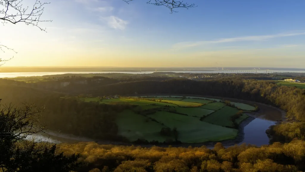
The photo at the top of this page is not Tippecanoe River.
It is a regional stand-in, honestly captioned but generic — we will not put a name to a river we cannot prove. Send us a photograph you took here and it replaces the stand-in, with your credit on it.
Pioneer badgeUnclaimed
Add a photo of this water
Landscape, not fish — the water itself. Reviewed by hand before it appears. The first one published here earns the Pioneer badge.
Fished this water? Add a photo
Reviewed by hand before it appears. Pick the water, not the spot — we never publish exact locations.
Access
Tippecanoe River State Park: the largest public access, camping and several miles of river.
Winamac: town access and canoe launch near the gauge reach.
Ora and Monterey: quiet upper-middle access points.
Lake Shafer and Lake Freeman: the impoundments at Monticello.
Oakdale Dam: the tailwater and the start of the lower river.
Delphi and the Wabash and Erie Canal Park: lower river access.
Tippecanoe Battlefield and the Wabash confluence: the bottom end.
Seasons
April and May: high water and the first smallmouth activity; walleye in the tailwaters.
June and July: peak float season, topwater smallmouth and comfortable flows.
August: low clear water, spooky fish, early mornings.
September and October: the biggest smallmouth of the year and beautiful floating.
From the water
No logged trips yet. Be the first to put this water on your map.
Log this water
Fished it or cleaned it? Log in or create a free account to log a trip with photos and earn the waterway badge.
Questions
What is the current flow on the Tippecanoe River?
As of Oct 19, 3:45 am, the USGS gauge TIPPECANOE RIVER NEAR ORA, IN reads 514 cfs, the 76th percentile for this date. Conditions update every 15 minutes.
What species can you catch on the Tippecanoe River?
Anglers target Channel Catfish, Flathead Catfish, Largemouth Bass, Northern Pike, Rock Bass, Smallmouth Bass, Walleye on the Tippecanoe River in Indiana.
Are there fishing guides on the Tippecanoe River?
GuidedFloats lists 1 guide and outfitters on the Tippecanoe River. Claimed profiles accept booking requests; unclaimed profiles are built from public records and link to the business.
Where can you access the Tippecanoe River?
Tippecanoe River State Park: the largest public access, camping and several miles of river. Winamac: town access and canoe launch near the gauge reach. Ora and Monterey: quiet upper-middle access points. Lake Shafer and Lake Freeman: the impoundments at Monticello. Oakdale Dam: the tailwater and the start of the lower river. Delphi and the Wabash and Erie Canal Park: lower river access. Tippecanoe Battlefield and the Wabash confluence: the bottom end.
When is the best time to fish the Tippecanoe River?
April and May: high water and the first smallmouth activity; walleye in the tailwaters. June and July: peak float season, topwater smallmouth and comfortable flows. August: low clear water, spooky fish, early mornings. September and October: the biggest smallmouth of the year and beautiful floating.
Where are the fishing regulations for the Tippecanoe River?
Regulations change by season and section. Read the current rules on the Indiana agency site: https://www.in.gov/dnr/fish-and-wildlife/fishing/fishing-guide-and-regulations/