Fishes Eleven Point River
River · Ozarks · Missouri
Eleven Point River Fishing Guides
Wild and Scenic river fed by Greer Spring that supports a blue-ribbon rainbow trout fishery from Greer down to Riverton, best fished by drift boat or canoe, with smallmouth in the warmer water below.
Map of the Eleven Point River
32 numbered points: 8 access points, 7 campsites, 1 outfitter, 4 bridges, 3 regulation section limits, 1 hazard, 7 springs, 1 USGS gauge. Tap a marker for details. Reviewed Sep 7, 2026.
- Access / boat ramp (8)
- Campsite (7)
- Outfitter / canoe rental (1)
- Bridge crossing (4)
- Regulation section limit (3)
- Dam / hazard (1)
- Spring (7)
- USGS gauge (1)
Map data © OpenStreetMap contributors. Points are curated from OpenStreetMap and state agency sources; confirm access and hours before you go.
Print it. Bag it. Bring it.Phones die, screens crack, and most of this water has no signal. Print this map, fold it into a zip-top bag or dry bag with your license, and you have a backup your electronics can’t give you. Every marker is numbered so you can say exactly where you are.
Open the printable mapAll 32 points on this map
| # | Point | Type | Lat, Lon | Notes |
|---|---|---|---|---|
| 1 | Highway 99 bridge at Thomasville MO 99 | Bridge crossing | 36.78498, -91.53167 | Crossing at Thomasville; the river above Greer is small and seasonal. |
| 2 | Thomasville Access Mark Twain National Forest | Access / boat ramp | 36.78478, -91.52750 | Upper put-in, floatable in spring and after rain. |
| 3 | Blowing Spring | Spring | 36.78351, -91.45430 | Spring on the reach between Thomasville and Cane Bluff. |
| 4 | Roaring Spring | Spring | 36.78063, -91.45087 | Spring just below Blowing Spring. |
| 5 | Highway 19 bridge at Greer Crossing MO 19 | Bridge crossing | 36.79417, -91.33360 | The Greer crossing between Alton and Winona. |
| 6 | Greer Crossing Access Mark Twain National Forest · ramp | Access / boat ramp | 36.79310, -91.33152 | The main put-in; Greer Spring's branch enters about half a mile below and more than doubles the river. |
| 7 | Greer Crossing Campground Mark Twain National Forest | Campsite | 36.79413, -91.32930 | Forest Service campground at the crossing. |
| 8 | Blue Ribbon Trout Area — upper limit Greer Spring Branch junction, below Greer Crossing | Regulation section limit | 36.79310, -91.33152 | MDC's Blue Ribbon Trout Area runs 5.5 miles from the spring branch junction to Turner Mill Access. Check the MDC regulations for methods and limits. |
| 9 | Turner Spring | Spring | 36.76699, -91.26785 | Spring at the old Turner Mill; the mill wheel still stands. |
| 10 | Turner Mill Access (north) Mark Twain National Forest | Access / boat ramp | 36.76532, -91.26674 | Landing on the north bank at Turner Mill. |
| 11 | Blue Ribbon ends / White Ribbon begins — Turner Mill Access White Ribbon runs 14.2 miles downstream | Regulation section limit | 36.76480, -91.26639 | Regulations change at Turner Mill Access. Check the MDC regulations for both sections. |
| 12 | Turner Mill Access (south) Mark Twain National Forest | Access / boat ramp | 36.76480, -91.26639 | Landing on the south bank at Turner Mill. |
| 13 | Horseshoe Float Camp Mark Twain National Forest · float camp | Campsite | 36.74957, -91.24115 | Boat-in float camp; primitive. |
| 14 | Barn Hollow Float Camp Mark Twain National Forest · float camp | Campsite | 36.74137, -91.23081 | Boat-in float camp. |
| 15 | Bliss Spring | Spring | 36.74253, -91.22067 | Spring at the Bliss Spring campsite. |
| 16 | Bliss Spring Campsite Mark Twain National Forest · float camp | Campsite | 36.73997, -91.22160 | Boat-in campsite by the spring. |
| 17 | Whitten Access Mark Twain National Forest | Access / boat ramp | 36.73263, -91.21453 | Road access mid-way between Turner Mill and Riverton. |
| 18 | White Creek Float Camp Mark Twain National Forest · float camp | Campsite | 36.72532, -91.20971 | Boat-in float camp. |
| 19 | Powder Mill Spring | Spring | 36.70076, -91.20275 | Spring on the reach below Whitten. |
| 20 | Greenbrier Float Camp Mark Twain National Forest · float camp | Campsite | 36.69023, -91.19584 | Boat-in float camp. |
| 21 | Boze Mill Spring | Spring | 36.66326, -91.19599 | Spring at the old Boze Mill site. |
| 22 | Boze Mill dam Old mill dam on the spring branch | Dam / hazard | 36.66275, -91.19518 | Historic mill dam beside the campground; stay in the main river channel. |
| 23 | Boze Mill Campground Mark Twain National Forest · float camp | Campsite | 36.66317, -91.19748 | Float camp at the Boze Mill spring. |
| 24 | White Ribbon Trout Area — lower limit Riverton · Highway 160 | Regulation section limit | 36.64879, -91.19777 | Trout management ends at Riverton; warm-water fishing below. |
| 25 | Riverton Access Mark Twain National Forest · Highway 160 | Access / boat ramp | 36.64879, -91.19777 | The usual take-out for the Greer float; outfitters at Riverton. |
| 26 | Highway 160 bridge at Riverton US 160 | Bridge crossing | 36.64869, -91.20058 | Crossing between Alton and Doniphan. |
| 27 | USGS 07071500 Eleven Point River near Bardley | USGS gauge | 36.64869, -91.20083 | The gauge behind the live flow on this page, at the Riverton bridge. |
| 28 | Hufstedler's Canoe Rental Canoe and raft rental · camping | Outfitter / canoe rental | 36.64816, -91.19608 | Long-running outfitter at Riverton. |
| 29 | Blue Spring (Eleven Point) | Spring | 36.55595, -91.18968 | Spring above the Narrows. |
| 30 | The Narrows Access Mark Twain National Forest · Highway 142 | Access / boat ramp | 36.55083, -91.19138 | Landing at the Highway 142 bridge. |
| 31 | Highway 142 bridge at the Narrows MO 142 | Bridge crossing | 36.55024, -91.19320 | Lower crossing near the Arkansas line. |
| 32 | Myrtle Access Mark Twain National Forest | Access / boat ramp | 36.51252, -91.17057 | Last Missouri access before the river crosses into Arkansas. |
Guides on the Eleven Point River
Claimed profiles take booking requests. Unclaimed profiles are built from public records so the river is never empty; the guide can claim or remove one any time.
About the Eleven Point River
The Eleven Point is the quietest of the big Ozark spring rivers and the only one in Missouri designated a National Wild and Scenic River. It starts as a small warm stream near Willow Springs, then Greer Spring, the second largest in the state, more than doubles its flow just above Greer Crossing and turns it into a cold, blue-green trout river for the next 15 miles or so.
Greer Crossing to Turner Mill and Turner Mill to Riverton are the floats that matter for trout. The river here is bigger and more forgiving than the upper Current, with long riffles, deep bluff pools, and gravel bars that wade well at normal flows. Rainbows dominate and reach good size on the spring-fed water; a few browns show up in the deeper holes. Below Riverton the river warms, the gradient eases, and smallmouth bass, goggle-eye, and walleye replace the trout down to the Arkansas line.
Guides run drift boats and rafts on this river more than canoes, partly because the National Forest access points have decent ramps and partly because the pools are long enough to reward a rowed drift. The Bardley gauge sits below the trout water, so read it with that in mind: 400 to 700 cfs at Bardley is a comfortable floating flow for the Greer to Riverton reach, under 350 gets bony above Turner Mill, and above 1,200 the river is high and off-color.
Cell service is nearly nonexistent along the river corridor. Tell someone your float plan, carry a paper map, and expect the drive from Alton or Thomasville to be the longest part of the day.
This water needs a real photo
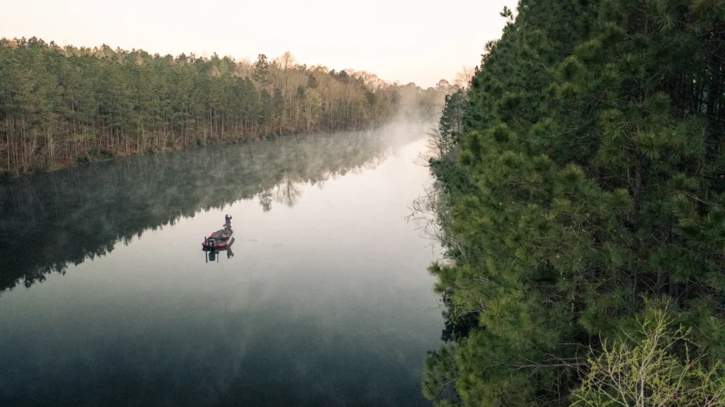
The photo at the top of this page is not Eleven Point River.
It is a regional stand-in, honestly captioned but generic — we will not put a name to a river we cannot prove. Send us a photograph you took here and it replaces the stand-in, with your credit on it.
Pioneer badgeUnclaimed
Add a photo of this water
Landscape, not fish — the water itself. Reviewed by hand before it appears. The first one published here earns the Pioneer badge.
Fished this water? Add a photo
Reviewed by hand before it appears. Pick the water, not the spot — we never publish exact locations.
Access
Thomasville and Cane Bluff: upper river accesses above Greer Spring, mostly a smallmouth float in warm water.
Greer Crossing (Highway 19): Forest Service ramp and campground at the top of the trout water.
Turner Mill North and South: 8 miles below Greer, gravel bar accesses on either bank.
Whitten Access and Riverton (Highway 160): ramps at the bottom of the trout water, 17 miles below Greer.
The Narrows and Highway 142 near Myrtle: lower river, smallmouth and walleye water.
Rafts and drift boats generally launch at Greer and take out at Riverton.
Seasons
March through June: prime trout months with strong flow and hatches in the Greer to Riverton reach.
July and August: still fishable because of Greer Spring, but plan for heat on the drive and the takeout.
September through November: low water, clear pools, big rainbows sighted and stalked from gravel bars.
Winter: open year-round on the spring-fed reach, cold but productive nymphing, almost no other boats.
From the water
No logged trips yet. Be the first to put this water on your map.
Log this water
Fished it or cleaned it? Log in or create a free account to log a trip with photos and earn the waterway badge.
Questions
What is the current flow on the Eleven Point River?
As of Oct 18, 5:30 pm, the USGS gauge Eleven Point River near Bardley, MO reads 271 cfs, the 18th percentile for this date. Conditions update every 15 minutes.
What species can you catch on the Eleven Point River?
Anglers target Rainbow Trout, Shadow Bass, Smallmouth Bass, Walleye on the Eleven Point River in Missouri.
Are there fishing guides on the Eleven Point River?
GuidedFloats lists 1 guide and outfitters on the Eleven Point River. Claimed profiles accept booking requests; unclaimed profiles are built from public records and link to the business.
Where can you access the Eleven Point River?
Thomasville and Cane Bluff: upper river accesses above Greer Spring, mostly a smallmouth float in warm water. Greer Crossing (Highway 19): Forest Service ramp and campground at the top of the trout water. Turner Mill North and South: 8 miles below Greer, gravel bar accesses on either bank. Whitten Access and Riverton (Highway 160): ramps at the bottom of the trout water, 17 miles below Greer. The Narrows and Highway 142 near Myrtle: lower river, smallmouth and walleye water. Rafts and drift boats generally launch at Greer and take out at Riverton.
When is the best time to fish the Eleven Point River?
March through June: prime trout months with strong flow and hatches in the Greer to Riverton reach. July and August: still fishable because of Greer Spring, but plan for heat on the drive and the takeout. September through November: low water, clear pools, big rainbows sighted and stalked from gravel bars. Winter: open year-round on the spring-fed reach, cold but productive nymphing, almost no other boats.
Where are the fishing regulations for the Eleven Point River?
Regulations change by season and section. Read the current rules on the Missouri agency site: https://mdc.mo.gov/fishing/regulations