Fishes American River
River · Sacramento Valley and the Sierra foothills east of Sacramento · California
American River Fishing Guides
A cold, controlled foothill river running through the eastern edge of Sacramento, famous for fall chinook, winter steelhead and one of the best urban shad runs in the West.
Map of the American River
13 numbered points: 4 access points, 2 bait & fly shops, 4 parks and conservation areas, 1 agency office, 1 hazard, 1 USGS gauge. Tap a marker for details. Reviewed Oct 23, 2026.
- Access / boat ramp (4)
- Bait, tackle & fly shop (2)
- Park / conservation area (4)
- Agency / conservation office (1)
- Dam / hazard (1)
- USGS gauge (1)
Map data © OpenStreetMap contributors. Points are curated from OpenStreetMap and state agency sources; confirm access and hours before you go.
Print it. Bag it. Bring it.Phones die, screens crack, and most of this water has no signal. Print this map, fold it into a zip-top bag or dry bag with your license, and you have a backup your electronics can’t give you. Every marker is numbered so you can say exactly where you are.
Open the printable mapAll 13 points on this map
| # | Point | Type | Lat, Lon | Notes |
|---|---|---|---|---|
| 1 | Nimbus Dam Head of the lower river - no passage | Dam / hazard | 38.63621, -121.21977 | Lake Natoma ends here. Everything below the dam is the free-flowing lower American; there is no way through or around by boat. |
| 2 | Nimbus Fish Hatchery CDFW hatchery and visitor center | Agency / conservation office | 38.63443, -121.22554 | Hatchery, fish ladder and visitor center on the south bank immediately below Nimbus Dam. |
| 3 | USGS gauge - American River at Fair Oaks Site 11446500 | USGS gauge | 38.63544, -121.22769 | The flow gauge the lower river is read by; releases from Nimbus Dam show here first. |
| 4 | Upper Sunrise Recreation Area Boat ramp, American River Parkway | Access / boat ramp | 38.63631, -121.26384 | Paved ramp and parking; the standard put-in for the Sunrise to Watt Avenue float. |
| 5 | Lower Sunrise Recreation Area American River Parkway day use | Access / boat ramp | 38.63274, -121.27209 | Gravel bar access and parking just downstream of the Sunrise ramp. |
| 6 | Sportsman's Warehouse Tackle, licenses, local flow reports | Bait, tackle & fly shop | 38.61689, -121.27069 | Full tackle department about a mile off the Parkway at Sunrise Boulevard. |
| 7 | Ancil Hoffman Park Sacramento County park, Effie Yeaw | Park / conservation area | 38.61541, -121.31491 | Large county park inside a river bend, with bank access and the nature center. |
| 8 | River Bend Park Sacramento County Parks | Park / conservation area | 38.59448, -121.32423 | Parkway day-use park with parking and wadeable gravel bars. |
| 9 | William B. Pond Recreation Area Parkway launch and day use | Access / boat ramp | 38.59152, -121.33378 | Hand-launch, parking and river access; a common take-out for the upper Parkway float. |
| 10 | Fisherman's Warehouse Tackle shop near Howe Avenue | Bait, tackle & fly shop | 38.55778, -121.36660 | Dedicated tackle shop a short drive from the Watt and Howe Avenue accesses. |
| 11 | Paradise Beach Parkway river beach at Glenn Hall | Park / conservation area | 38.58077, -121.42463 | Wide sand and gravel beach on the Parkway below the Howe Avenue reach. |
| 12 | Discovery Park Boat Ramp Ramp at the Sacramento confluence | Access / boat ramp | 38.60050, -121.50892 | Paved ramp at the bottom of the river; the take-out for the full Parkway run. |
| 13 | Tiscornia Park Beach at the American-Sacramento confluence | Park / conservation area | 38.59812, -121.50607 | Beach and bank access on the point where the American meets the Sacramento. |
Guides on the American River
Claimed profiles take booking requests. Unclaimed profiles are built from public records so the river is never empty; the guide can claim or remove one any time.
Order on this page: premium and outfitter plans first (labelled Premium placement), then claimed free profiles, then unclaimed — one published price, no bidding for position. How placement works
About the American River
The lower American River runs about twenty-three miles from Nimbus Dam to its confluence with the Sacramento, and almost every mile of it sits inside a metropolitan area. That combination is unusual and it is the reason the river matters. Releases from upstream storage hold the channel cold and reasonably clear through summer, so a river that ought to be warm and slack at this elevation instead behaves like a foothill trout and salmon stream within sight of freeways and neighborhoods. The gauge at Fair Oaks watches roughly nineteen hundred square miles and reports discharge, stage and a live water temperature series, which makes it one of the more informative readings on this list.
The fishery works on a calendar. Fall chinook push in from the Sacramento beginning in late September and hold through November, drawing the heaviest guided traffic of the year. Steelhead follow through winter and into early spring, smaller and harder won but present in fishable numbers. Then in May and June the American fills with american shad moving up from the delta, and the shad run is the most democratic fishery on the river: waded from gravel bars, fished with small darts and flies, and open to anyone willing to stand in moving water at dusk.
Access is genuinely excellent. The American River Parkway protects both banks for the whole lower river as a continuous public corridor, with paved trail, parking and boat ramps at regular intervals. Guided trips run mostly from drift boats and jet sleds launching at Sailor Bar, Sunrise or Watt Avenue, though wade fishing is productive wherever gravel is exposed.
Flow is the thing to read before going. Releases change for water supply and flood management rather than for anglers, and a rise of a few thousand cubic feet per second rearranges where fish hold and which bars are wadeable. Check the gauge, not the forecast.
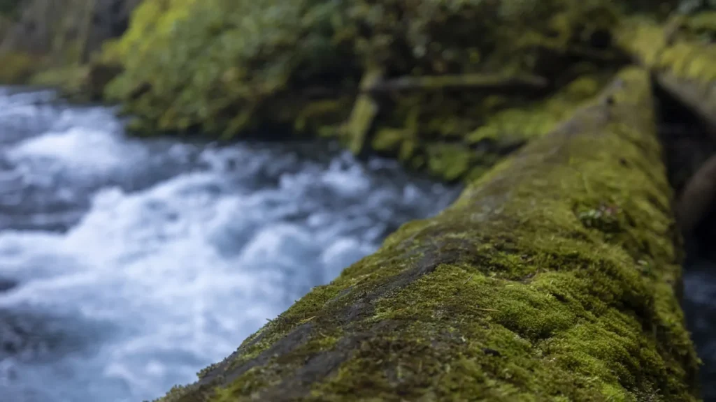
This water needs a real photo
The photo at the top of this page is not American River.
It is a regional stand-in, honestly captioned but generic — we will not put a name to a river we cannot prove. Send us a photograph you took here and it replaces the stand-in, with your credit on it.
Pioneer badgeUnclaimed
Add a photo of this water
Landscape, not fish — the water itself. Reviewed by hand before it appears. The first one published here earns the Pioneer badge.
Fished this water? Add a photo
Reviewed by hand before it appears. Pick the water, not the spot — we never publish exact locations.
Access
Nimbus Basin and Hazel Avenue - the top of the fishable river, immediately below the dam and hatchery.
Sailor Bar - gravel bars, walk-in wading and a launch used by most guided drift trips.
Sunrise Avenue access - large parking area, ramp, and the most heavily fished gravel in the system.
Ant Ribbon and Rossmoor Bar - mid-river bars that fish well for shad in early summer.
Watt Avenue access - lower river ramp and bank fishing close to central Sacramento.
Howe Avenue and Paradise Beach - deep lower-river holding water for stripers and late salmon.
Discovery Park at the Sacramento confluence - tidal influence, striper and shad water at the very bottom.
Seasons
Spring: steelhead taper off and the american shad run builds through May and June into the best wading of the year.
Summer: cold releases keep the river fishable when everything around it is hot; low light and early mornings.
Fall: the fall chinook run arrives from late September and is the busiest and most productive period.
Winter: steelhead fishing on a cold, clear river, with flows subject to sudden flood-control releases.
From the water
No logged trips yet. Be the first to put this water on your map.
Log this water
Fished it or cleaned it? Log in or create a free account to log a trip with photos and earn the waterway badge.
Questions
What is the current flow on the American River?
As of Oct 24, 3:30 am, the USGS gauge AMERICAN R A FAIR OAKS CA reads 1,170 cfs, with water temperature 59.2 F. Conditions update every 15 minutes.
What species can you catch on the American River?
Anglers target American Shad, Chinook Salmon, Largemouth Bass, Rainbow Trout, Smallmouth Bass, Steelhead, Striped Bass on the American River in California.
Are there fishing guides on the American River?
GuidedFloats lists 1 guide and outfitters on the American River. Claimed profiles accept booking requests; unclaimed profiles are built from public records and link to the business.
Where can you access the American River?
Nimbus Basin and Hazel Avenue - the top of the fishable river, immediately below the dam and hatchery. Sailor Bar - gravel bars, walk-in wading and a launch used by most guided drift trips. Sunrise Avenue access - large parking area, ramp, and the most heavily fished gravel in the system. Ant Ribbon and Rossmoor Bar - mid-river bars that fish well for shad in early summer. Watt Avenue access - lower river ramp and bank fishing close to central Sacramento. Howe Avenue and Paradise Beach - deep lower-river holding water for stripers and late salmon. Discovery Park at the Sacramento confluence -...
When is the best time to fish the American River?
Spring: steelhead taper off and the american shad run builds through May and June into the best wading of the year. Summer: cold releases keep the river fishable when everything around it is hot; low light and early mornings. Fall: the fall chinook run arrives from late September and is the busiest and most productive period. Winter: steelhead fishing on a cold, clear river, with flows subject to sudden flood-control releases.
Where are the fishing regulations for the American River?
Regulations change by season and section. Read the current rules on the California agency site: https://wildlife.ca.gov/Fishing/Inland/Regulations