Stanislaus River Fishing Guides
The lower Stanislaus on the valley floor at Ripon, where fall Chinook push upriver and striped bass follow them in.
Guides on the Stanislaus River
Claimed profiles take booking requests. Unclaimed profiles are built from public records so the river is never empty; the guide can claim or remove one any time.
No guides listed yet
Guide or outfit this water? Create your profile. Listing is free, the commission is 10% or 7% with a premium profile, and premium profiles list first on this water.
About the Stanislaus River
The Stanislaus comes off the Sierra Nevada high country, runs through a staircase of reservoirs, and then crosses the Central Valley floor to join the San Joaquin below Ripon. The reach at Ripon is a very different river from the one in the canyon above Goodwin Dam. Here it is a valley river – lower gradient, warmer, running between orchard and farm ground and levee, with sand and gravel bars and deep bends. It is a long way below the dams, so it is not a tailwater in any practical sense; the coldwater signature is largely gone by the time the water gets here.
What makes this reach worth fishing is that it is a migration corridor. Fall-run Chinook salmon push up the Stanislaus from the San Joaquin and through this water on their way to the spawning gravel upstream, and the fall run is the event of the year on this river. Steelhead move through as well, in far smaller numbers and under strict protection. Striped bass follow the bait and the smolts up out of the delta and are a legitimate target in the lower river. American shad show in spring. The resident fishery is warmwater – largemouth, smallmouth and spotted bass along the rock and timber, channel and white catfish in the deep bends, and the native suckers and pikeminnow throughout.
California’s regulations on this river are specific, seasonal and genuinely complicated, particularly anything involving salmon or steelhead, and they change from year to year. Check the current rules for this exact reach before going. The gauge at Ripon publishes water temperature with discharge and stage, and temperature is the number that matters here – it drives both the salmon timing in fall and the striper movement in spring.
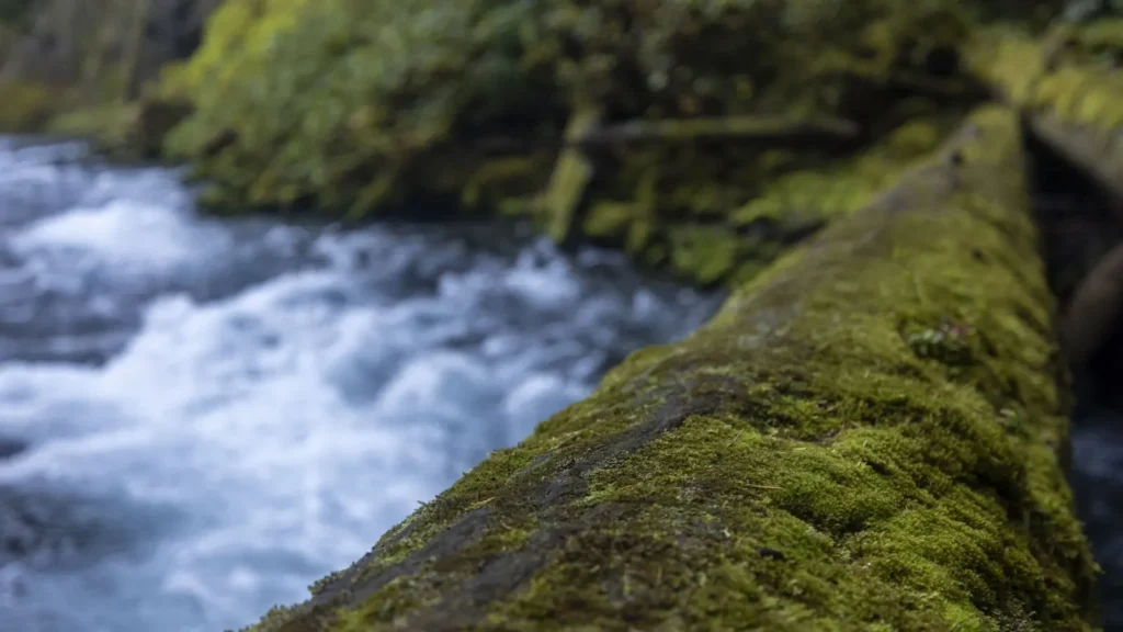
This water needs a real photo
The photo at the top of this page is not Stanislaus River.
It is a regional stand-in, honestly captioned but generic — we will not put a name to a river we cannot prove. Send us a photograph you took here and it replaces the stand-in, with your credit on it.
Add a photo of this water
Landscape, not fish — the water itself. Reviewed by hand before it appears. The first one published here earns the Pioneer badge.
Fished this water? Add a photo
Reviewed by hand before it appears. Pick the water, not the spot — we never publish exact locations.
Access
Ripon river access - the main in-town bank and ramp entry near the gauge.
Caswell Memorial State Park - the headline public access on the lower river.
McHenry Avenue crossing - bridge and bank access upstream.
Oakdale area access - upper valley entry toward the canyon reach.
Knights Ferry recreation area - upstream access below Goodwin Dam.
San Joaquin confluence area - lower river and delta access by boat.
Orange Blossom area river access - a quieter mid-river bank entry.
Seasons
Spring: striped bass move up out of the delta and shad show in the lower river.
Summer: warm and low-interest on the valley floor; fish early for bass and catfish.
Fall: the season - the Chinook run comes through and the river gets busy.
Winter: cool and quiet, with steelhead moving through under strict regulation.
From the water
No logged trips yet. Be the first to put this water on your map.
Log this water
Fished it or cleaned it? Log in or create a free account to log a trip with photos and earn the waterway badge.
Questions
What is the current flow on the Stanislaus River?
As of Sep 17, 5:45 am, the USGS gauge STANISLAUS R A RIPON CA reads 169 cfs, with water temperature 66.4 F. Conditions update every 15 minutes.
What species can you catch on the Stanislaus River?
Anglers target American Shad, Bluegill, Channel Catfish, Chinook Salmon, Common Carp, Largemouth Bass, Rainbow Trout, Sacramento Pikeminnow, Sacramento Sucker, Smallmouth Bass, Spotted Bass, Steelhead, Striped Bass on the Stanislaus River in California.
Where can you access the Stanislaus River?
Ripon river access - the main in-town bank and ramp entry near the gauge. Caswell Memorial State Park - the headline public access on the lower river. McHenry Avenue crossing - bridge and bank access upstream. Oakdale area access - upper valley entry toward the canyon reach. Knights Ferry recreation area - upstream access below Goodwin Dam. San Joaquin confluence area - lower river and delta access by boat. Orange Blossom area river access - a quieter mid-river bank entry.
When is the best time to fish the Stanislaus River?
Spring: striped bass move up out of the delta and shad show in the lower river. Summer: warm and low-interest on the valley floor; fish early for bass and catfish. Fall: the season - the Chinook run comes through and the river gets busy. Winter: cool and quiet, with steelhead moving through under strict regulation.
Where are the fishing regulations for the Stanislaus River?
Regulations change by season and section. Read the current rules on the California agency site: https://www.wildlife.ca.gov/Regulations