Bayou Lafourche Fishing Guides
The 'longest main street in the world' — a Mississippi distributary running 106 miles from Donaldsonville through Thibodaux and Larose to Port Fourchon, freshwater up top and brackish at the bottom.
Guides on the Bayou Lafourche
Claimed profiles take booking requests. Unclaimed profiles are built from public records so the river is never empty; the guide can claim or remove one any time.
No guides listed yet
Guide or outfit this water? Create your profile. Listing is free, the commission is 10% or 7% with a premium profile, and premium profiles list first on this water.
About the Bayou Lafourche
Bayou Lafourche is the old main channel of the Mississippi, cut off by a dam at Donaldsonville in 1904 and now fed by a pumping station that pushes river water back down the head of the bayou. It runs 106 miles south through Napoleonville, Thibodaux, Raceland, Lockport and Larose to Port Fourchon, with a highway on both banks the whole way — the reason it is called the longest main street in the world. It is the spine of Lafourche Parish and one of the most-fished pieces of water in south Louisiana, even though it is fished almost entirely from the bank and from small boats rather than by guides.
Because the pumping station introduces Mississippi River water at the top, the upper bayou runs fresher and more turbid than a natural coastal bayou would, and the fishery grades from freshwater at Donaldsonville to brackish below Golden Meadow. Through the Thibodaux reach that this gauge covers, it is a solid largemouth and sac-a-lait fishery, with bass holding on bulkheads, dock pilings, bridge abutments and the wing walls at every crossing. Catfish are abundant and heavily fished from the bank. Bluegill and redear fill the shallow edges, and bowfin, gar and drum are constant. Striped bass turn up occasionally in the fresher reaches.
Access is the easiest of any bayou in the state — Highway 1 and Highway 308 run the banks for the full length, and there are public landings, pull-offs and bridge accesses in every town. That accessibility is also the catch: pressure is steady and the bayou is an urban water through much of its length. Fish the structure that other people walk past, and work the reaches between towns.
The Thibodaux gauge reports stage and discharge and is the reference for how hard the bayou is running. Pumping schedules at Donaldsonville drive much of what the gauge shows.
This water needs a real photo
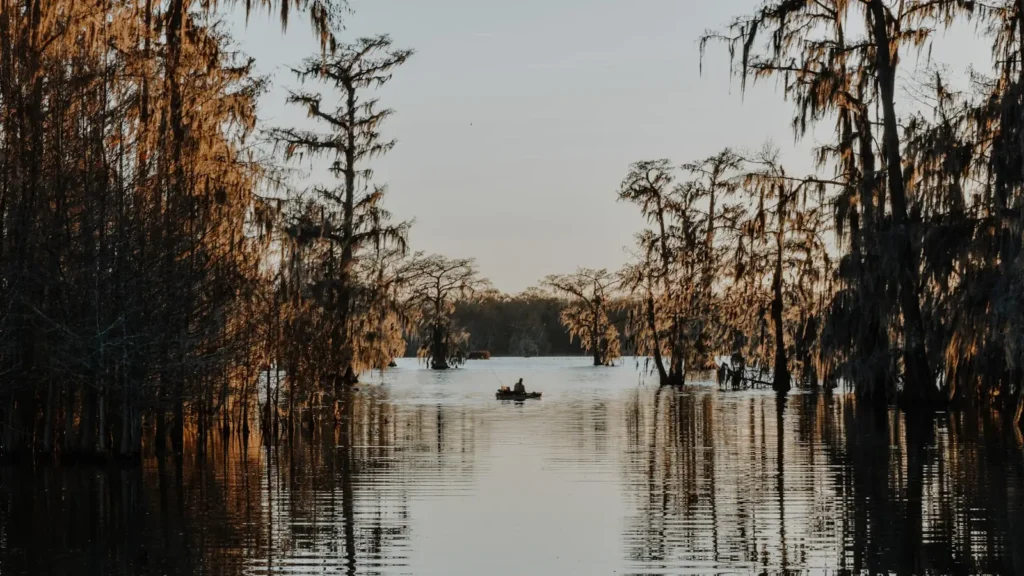
The photo at the top of this page is not Bayou Lafourche.
It is a regional stand-in, honestly captioned but generic — we will not put a name to a river we cannot prove. Send us a photograph you took here and it replaces the stand-in, with your credit on it.
Add a photo of this water
Landscape, not fish — the water itself. Reviewed by hand before it appears. The first one published here earns the Pioneer badge.
Fished this water? Add a photo
Reviewed by hand before it appears. Pick the water, not the spot — we never publish exact locations.
Access
Donaldsonville head of the bayou — pumping station area access at the top of the system.
Napoleonville public landing — upper bayou trailer ramp.
Thibodaux city launch near the Highway 308 bridge — closest access to the USGS gauge.
Nicholls State University reach bank access — walk-in fishing along the levee road.
Raceland and Lockport landings — mid-bayou small-boat access.
Larose public ramp — access to the lower bayou and the Intracoastal junction.
Golden Meadow and Leeville accesses — brackish lower bayou, redfish and speckled trout water.
Seasons
Spring: sac-a-lait on bridge pilings and bass on the bulkheads; the strongest freshwater fishing of the year.
Summer: hot and heavily pressured. Fish first light around structure, or move to the brackish lower reaches.
Fall: falling water and cooling temperatures concentrate bass on hard structure through the town reaches.
Winter: catfish and crappie in the deeper cuts; the quietest season on a normally busy bayou.
From the water
No logged trips yet. Be the first to put this water on your map.
Log this water
Fished it or cleaned it? Log in or create a free account to log a trip with photos and earn the waterway badge.
Questions
What is the current flow on the Bayou Lafourche?
As of Oct 21, 10:30 pm, the USGS gauge Bayou Lafourche at Thibodaux, LA reads 291 cfs. Conditions update every 15 minutes.
What species can you catch on the Bayou Lafourche?
Anglers target Black Crappie, Blue Catfish, Bluegill, Bowfin, Channel Catfish, Freshwater Drum, Largemouth Bass, Longnose Gar, Redear Sunfish, Striped Bass, White Crappie on the Bayou Lafourche in Louisiana.
Where can you access the Bayou Lafourche?
Donaldsonville head of the bayou — pumping station area access at the top of the system. Napoleonville public landing — upper bayou trailer ramp. Thibodaux city launch near the Highway 308 bridge — closest access to the USGS gauge. Nicholls State University reach bank access — walk-in fishing along the levee road. Raceland and Lockport landings — mid-bayou small-boat access. Larose public ramp — access to the lower bayou and the Intracoastal junction. Golden Meadow and Leeville accesses — brackish lower bayou, redfish and speckled trout water.
When is the best time to fish the Bayou Lafourche?
Spring: sac-a-lait on bridge pilings and bass on the bulkheads; the strongest freshwater fishing of the year. Summer: hot and heavily pressured. Fish first light around structure, or move to the brackish lower reaches. Fall: falling water and cooling temperatures concentrate bass on hard structure through the town reaches. Winter: catfish and crappie in the deeper cuts; the quietest season on a normally busy bayou.
Where are the fishing regulations for the Bayou Lafourche?
Regulations change by season and section. Read the current rules on the Louisiana agency site: https://www.wlf.louisiana.gov/page/recreational-freshwater-finfish-and-crawfish