Choctaw Bayou Fishing Guides
A floodway-edge bayou crossed by Interstate 10 east of Grosse Tete, gauged for stage and flow, fished for bass, sac-a-lait and catfish in the upper Atchafalaya.
Guides on the Choctaw Bayou
Claimed profiles take booking requests. Unclaimed profiles are built from public records so the river is never empty; the guide can claim or remove one any time.
No guides listed yet
Guide or outfit this water? Create your profile. Listing is free, the commission is 10% or 7% with a premium profile, and premium profiles list first on this water.
About the Choctaw Bayou
Choctaw Bayou crosses under Interstate 10 east of Grosse Tete, in the stretch where the highway runs on piers across the upper Atchafalaya floodway. Thousands of drivers a day pass over this water without registering it as anything but swamp, which is a fair description and also an understatement: this is the northern end of the basin, and it fishes the way the rest of the basin does. Cypress, tupelo, spoil banks and slow tannic water, with the whole system tied to what the Atchafalaya is doing upstream.
The gauge reports both stage and discharge, which is more information than most basin bayous provide and makes this a useful reference point for the upper floodway generally. Direction of change is what local anglers read. A rising basin scatters fish back into the flooded woods and makes the open bayou unproductive; a falling basin pulls them out and stacks them in the bayous, the cuts and against the spoil banks. The absolute level matters mainly for whether a given launch and a given route are usable at all.
Largemouth bass and sac-a-lait are the main quarry, with bluegill and redear through the warm months and blue and flathead catfish at any time of year. Access is from the Grosse Tete side and from the spoil-bank roads that follow the old canals, and a shallow-draft boat is close to essential once you leave the main runs. The interstate is both the landmark and the practical convenience here, putting a genuine piece of Atchafalaya backwater within a few minutes of an exit ramp for anglers travelling between Baton Rouge and Lafayette. It is not wilderness and the traffic noise carries, but the fish do not appear to mind and the water holds up well against far more remote parts of the basin.
This water needs a real photo
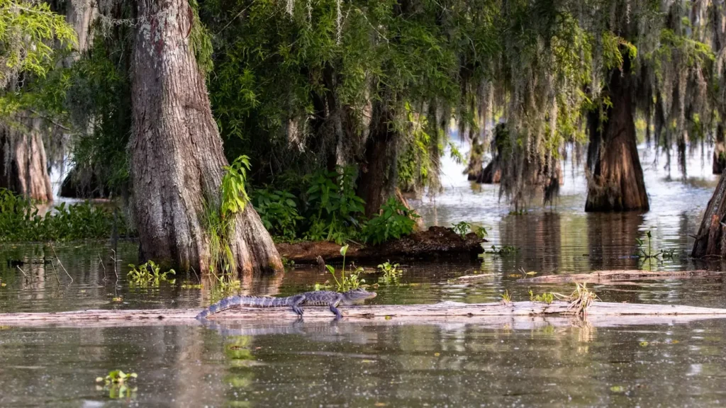
The photo at the top of this page is not Choctaw Bayou.
It is a regional stand-in, honestly captioned but generic — we will not put a name to a river we cannot prove. Send us a photograph you took here and it replaces the stand-in, with your credit on it.
Add a photo of this water
Landscape, not fish — the water itself. Reviewed by hand before it appears. The first one published here earns the Pioneer badge.
Fished this water? Add a photo
Reviewed by hand before it appears. Pick the water, not the spot — we never publish exact locations.
Access
Grosse Tete - the village west of the crossing, with fuel, food and the nearest launch access.
Interstate 10 crossing - the elevated highway at the gauge, the landmark that orients the whole reach.
Ramah - the small community north along the bayou system, with additional bank and launch access.
Plaquemine - the town east toward the Mississippi, with fuel, tackle and full services.
Baton Rouge - the city east, the nearest large centre for lodging, tackle and guides.
Upper Atchafalaya floodway - the broader swamp this bayou belongs to, fished by the same seasonal rules.
Spoil bank canals - the old dredged runs through the swamp, giving boat routes and holding fish on falling water.
Seasons
Spring: high water pushes fish back into flooded timber, with crappie fishing at its best around the standing trees.
Summer: warm and falling, with bream reliable through the day and catfish best after dark in the deeper bayou runs.
Fall: the most consistent stretch, low stable water concentrating bass along the banks and spoil edges.
Winter: cold water slows the bass fishing, but crappie hold deep around timber and catfish stay catchable.
From the water
No logged trips yet. Be the first to put this water on your map.
Log this water
Fished it or cleaned it? Log in or create a free account to log a trip with photos and earn the waterway badge.
Questions
What species can you catch on the Choctaw Bayou?
Anglers target Black Crappie, Blue Catfish, Bluegill, Bowfin, Channel Catfish, Flathead Catfish, Freshwater Drum, Largemouth Bass, Longnose Gar, Redear Sunfish, Spotted Gar, Warmouth, White Crappie on the Choctaw Bayou in Louisiana.
Where can you access the Choctaw Bayou?
Grosse Tete - the village west of the crossing, with fuel, food and the nearest launch access. Interstate 10 crossing - the elevated highway at the gauge, the landmark that orients the whole reach. Ramah - the small community north along the bayou system, with additional bank and launch access. Plaquemine - the town east toward the Mississippi, with fuel, tackle and full services. Baton Rouge - the city east, the nearest large centre for lodging, tackle and guides. Upper Atchafalaya floodway - the broader swamp this bayou belongs to, fished by the same seasonal rules. Spoil bank canals - the o...
When is the best time to fish the Choctaw Bayou?
Spring: high water pushes fish back into flooded timber, with crappie fishing at its best around the standing trees. Summer: warm and falling, with bream reliable through the day and catfish best after dark in the deeper bayou runs. Fall: the most consistent stretch, low stable water concentrating bass along the banks and spoil edges. Winter: cold water slows the bass fishing, but crappie hold deep around timber and catfish stay catchable.
Where are the fishing regulations for the Choctaw Bayou?
Regulations change by season and section. Read the current rules on the Louisiana agency site: https://www.wlf.louisiana.gov/page/recreational-freshwater-finfish-and-crawfish