Branch Brook Fishing Guides
The drinking water supply for Kennebunk, Kennebunkport and Wells, a protected sandy coastal stream carrying wild brook trout within sight of the tourist coast.
Guides on the Branch Brook
Claimed profiles take booking requests. Unclaimed profiles are built from public records so the river is never empty; the guide can claim or remove one any time.
No guides listed yet
Guide or outfit this water? Create your profile. Listing is free, the commission is 10% or 7% with a premium profile, and premium profiles list first on this water.
About the Branch Brook
Branch Brook runs through the sandy country behind the southern Maine coast, gathering in the woods and wetlands of Wells and Sanford and running down to the Mousam River a few miles inland from Kennebunk. It is an unremarkable looking stream and it is protected far more carefully than its appearance suggests, because it is the sole source of drinking water for Kennebunk, Kennebunkport and Wells. The Kennebunk, Kennebunkport and Wells Water District owns or controls a large block of the watershed, and that ownership has kept development off the banks and the aquifer intact in a part of Maine where very little land has escaped attention.
The result is a cold, clean, sand and gravel stream carrying wild brook trout within a short drive of one of the busiest stretches of tourist coast in New England. The trout are not large, as is usually the case in coastal sand plain streams, but they are wild and they are distributed throughout the system rather than concentrated in a few holes. Brown trout are present in the lower reaches, chain pickerel and largemouth bass occupy the slower dead water and the beaver flowages, and American eel are common throughout and still have reasonable access from the sea.
The gauge reports discharge and stage and sits on one of the better studied small coastal streams in Maine, because the water district and the United States Geological Survey have a long standing interest in how much the aquifer can yield without harming the stream. That makes the flow record unusually useful for an angler: Branch Brook is small enough to be affected quickly by dry spells, and the summer low flow reading is a direct indication of whether the trout have retreated into the few deep and spring influenced pockets or are still spread through the riffles.
This water needs a real photo
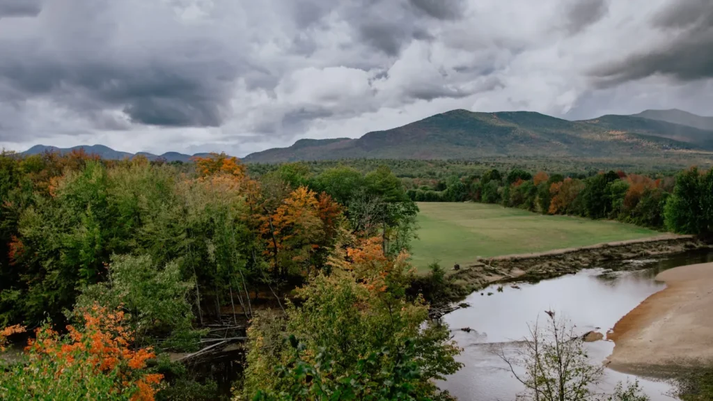
The photo at the top of this page is not Branch Brook.
It is a regional stand-in, honestly captioned but generic — we will not put a name to a river we cannot prove. Send us a photograph you took here and it replaces the stand-in, with your credit on it.
Add a photo of this water
Landscape, not fish — the water itself. Reviewed by hand before it appears. The first one published here earns the Pioneer badge.
Fished this water? Add a photo
Reviewed by hand before it appears. Pick the water, not the spot — we never publish exact locations.
Access
Kennebunk - the town downstream, with the bulk of the services and the nearest tackle.
Wells - the town covering much of the upper watershed, with the Route 1 corridor and further access.
Mousam River - the receiving river, larger water with its own trout and warmwater fishing.
Kennebunkport - the coastal town east, with harbour access and saltwater options.
Branch Brook water district land - the protected block around the stream, with walk in access on foot.
Rachel Carson National Wildlife Refuge - the coastal refuge nearby, with marsh and estuary access.
Portland - forty minutes north, with the nearest airport and the fullest range of services.
Seasons
Spring: high clean flows and the most active trout fishing of the year through the riffles and runs.
Summer: the stream drops and warms, and the trout concentrate into the spring influenced pockets and shaded bends.
Fall: flows recover with the autumn rain and the brook trout colour up and feed hard before spawning.
Winter: cold and largely iced over, with the season closed on most of the stream and very little activity.
From the water
No logged trips yet. Be the first to put this water on your map.
Log this water
Fished it or cleaned it? Log in or create a free account to log a trip with photos and earn the waterway badge.
Questions
What is the current flow on the Branch Brook?
As of Oct 18, 4:45 pm, the USGS gauge Branch Brook near Kennebunk, Maine reads 8 cfs. Conditions update every 15 minutes.
What species can you catch on the Branch Brook?
Anglers target American Eel, Blacknose Dace, Brook Trout, Brown Trout, Chain Pickerel, Creek Chub, Largemouth Bass, White Sucker on the Branch Brook in Maine.
Where can you access the Branch Brook?
Kennebunk - the town downstream, with the bulk of the services and the nearest tackle. Wells - the town covering much of the upper watershed, with the Route 1 corridor and further access. Mousam River - the receiving river, larger water with its own trout and warmwater fishing. Kennebunkport - the coastal town east, with harbour access and saltwater options. Branch Brook water district land - the protected block around the stream, with walk in access on foot. Rachel Carson National Wildlife Refuge - the coastal refuge nearby, with marsh and estuary access. Portland - forty minutes north, with...
When is the best time to fish the Branch Brook?
Spring: high clean flows and the most active trout fishing of the year through the riffles and runs. Summer: the stream drops and warms, and the trout concentrate into the spring influenced pockets and shaded bends. Fall: flows recover with the autumn rain and the brook trout colour up and feed hard before spawning. Winter: cold and largely iced over, with the season closed on most of the stream and very little activity.
Where are the fishing regulations for the Branch Brook?
Regulations change by season and section. Read the current rules on the Maine agency site: https://www.maine.gov/ifw/fishing-boating/fishing/laws-rules/index.html