Fish River Fishing Guides
The outlet of Maine's Fish River chain, running north to the St. John at Fort Kent through wild brook trout and landlocked salmon water.
Guides on the Fish River
Claimed profiles take booking requests. Unclaimed profiles are built from public records so the river is never empty; the guide can claim or remove one any time.
No guides listed yet
Guide or outfit this water? Create your profile. Listing is free, the commission is 10% or 7% with a premium profile, and premium profiles list first on this water.
About the Fish River
The Fish River drains the chain of large lakes that fills the northwest corner of Aroostook County, among them Eagle, Square, Cross, Long and St. Froid, and carries their water north to meet the St. John River at Fort Kent. The gauge near Fort Kent sits on the last few miles of that run, and what it reads is the sum of a very large and very cold lake system rather than the runoff of a single valley. That gives the river a steadier flow through summer than most Maine rivers of its size.
The fishery is the one northern Maine is known for. Brook trout are native and wild throughout the drainage, landlocked Atlantic salmon move between the lakes and the river with the seasons, and lake trout hold in the deeper lake basins that feed the system. The river reaches themselves fish best in the cooler months at either end of the season, when salmon and trout are moving and water temperatures stay in the range the fish will hold in.
Access is straightforward by northern Maine standards. Route 161 follows the chain from Fort Kent southwest toward Eagle Lake and Portage, and the towns along it all provide launches, bank access or the road crossings that let an angler reach the river without a long walk in. Guides working this country tend to run the lakes and the river together, and most trips are planned around whichever of the two is fishing best that week.
Water conditions matter more here than tackle. Spring high water from snowmelt is heavy and late by the standards of the rest of the state, and the river does not settle until well into May in most years. Late summer can run warm and thin in the lower reaches, which pushes fish back toward the lake outlets and the spring-fed tributaries. The gauge is the quickest way to see where the river sits before committing to the drive north.
This water needs a real photo
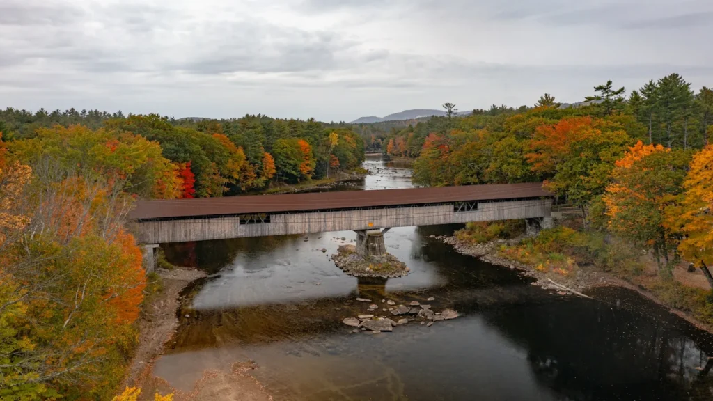
The photo at the top of this page is not Fish River.
It is a regional stand-in, honestly captioned but generic — we will not put a name to a river we cannot prove. Send us a photograph you took here and it replaces the stand-in, with your credit on it.
Add a photo of this water
Landscape, not fish — the water itself. Reviewed by hand before it appears. The first one published here earns the Pioneer badge.
Fished this water? Add a photo
Reviewed by hand before it appears. Pick the water, not the spot — we never publish exact locations.
Access
Fort Kent - the gauge reach and the confluence with the St. John River.
Eagle Lake village - launch and road access to the middle of the chain.
Wallagrass - bridge crossings and bank access on the lower river.
Portage Lake - the upper end of the chain, with a public launch.
Soldier Pond - roadside access between Wallagrass and Fort Kent.
Route 161 crossings - the main road access along the length of the river.
St. Froid Lake - the upstream lake feeding the system, reached from Winterville.
Seasons
Spring: heavy late snowmelt, with salmon fishing turning on as the water drops through May.
Summer: warm and thin in the lower river, with fish holding near lake outlets and cold tributaries.
Fall: the strongest stretch of the year as brook trout and salmon move ahead of the close.
Winter: ice fishing on the chain lakes rather than on the river itself.
From the water
No logged trips yet. Be the first to put this water on your map.
Log this water
Fished it or cleaned it? Log in or create a free account to log a trip with photos and earn the waterway badge.
Questions
What is the current flow on the Fish River?
As of Sep 17, 5:45 am, the USGS gauge Fish River near Fort Kent, Maine reads 90 cfs. Conditions update every 15 minutes.
What species can you catch on the Fish River?
Anglers target Brook Trout, Burbot, Chain Pickerel, Lake Trout, Landlocked Atlantic Salmon, Muskellunge, Smallmouth Bass on the Fish River in Maine.
Where can you access the Fish River?
Fort Kent - the gauge reach and the confluence with the St. John River. Eagle Lake village - launch and road access to the middle of the chain. Wallagrass - bridge crossings and bank access on the lower river. Portage Lake - the upper end of the chain, with a public launch. Soldier Pond - roadside access between Wallagrass and Fort Kent. Route 161 crossings - the main road access along the length of the river. St. Froid Lake - the upstream lake feeding the system, reached from Winterville.
When is the best time to fish the Fish River?
Spring: heavy late snowmelt, with salmon fishing turning on as the water drops through May. Summer: warm and thin in the lower river, with fish holding near lake outlets and cold tributaries. Fall: the strongest stretch of the year as brook trout and salmon move ahead of the close. Winter: ice fishing on the chain lakes rather than on the river itself.
Where are the fishing regulations for the Fish River?
Regulations change by season and section. Read the current rules on the Maine agency site: https://www.maine.gov/ifw/fishing-boating/fishing/laws-rules.html