Fishes Clackamas River, Nehalem River
River · Northwest Oregon in Clackamas County, from the Mount Hood National Forest through Estacada to the Willamette at Oregon City · Oregon
Clackamas River Fishing Guides
Portland's home steelhead river, running clear and cold out of the Mount Hood forest with a strong winter run and drift boat water within an hour of the city.
Map of the Clackamas River
37 numbered points: 9 access points, 13 campsites, 7 parks and conservation areas, 1 agency office, 4 hazards, 1 USGS gauge, 2 points of interest. Tap a marker for details. Reviewed Sep 15, 2026.
- Access / boat ramp (9)
- Campsite (13)
- Park / conservation area (7)
- Agency / conservation office (1)
- Dam / hazard (4)
- USGS gauge (1)
- Point of interest (2)
Map data © OpenStreetMap contributors. Points are curated from OpenStreetMap and state agency sources; confirm access and hours before you go.
Print it. Bag it. Bring it.Phones die, screens crack, and most of this water has no signal. Print this map, fold it into a zip-top bag or dry bag with your license, and you have a backup your electronics can’t give you. Every marker is numbered so you can say exactly where you are.
Open the printable mapAll 37 points on this map
| # | Point | Type | Lat, Lon | Notes |
|---|---|---|---|---|
| 1 | Riverford Campground Mt. Hood National Forest | Campsite | 45.03252, -122.05894 | Small Forest Service camp on the upper Clackamas off FR 46, near the Collawash junction. |
| 2 | Riverside Campground Mt. Hood National Forest | Campsite | 45.04255, -122.06250 | Riverbank camp on FR 46; the Riverside National Recreation Trail runs from here downstream. |
| 3 | Riverside Trailhead Riverside National Recreation Trail | Point of interest | 45.05756, -122.05267 | North end of the 4-mile riverside trail between Rainbow and Riverside campgrounds. |
| 4 | Rainbow Campground Mt. Hood National Forest | Campsite | 45.07655, -122.04515 | At the Oak Grove Fork confluence, the head of the Hwy 224 campground ladder. |
| 5 | Alder Flat Trailhead Alder Flat Trail, Mt. Hood NF | Point of interest | 45.08074, -122.05621 | Mile-long walk-in to a riverside hike-in camp on the Clackamas. |
| 6 | Indian Henry Campground Mt. Hood National Forest | Campsite | 45.10880, -122.07339 | Large Hwy 224 campground; the Clackamas River Trail trailhead is at the same site. |
| 7 | Sunstrip Campground Mt. Hood National Forest | Campsite | 45.15055, -122.10572 | Small camp on the river side of Hwy 224. |
| 8 | Roaring River Campground Mt. Hood National Forest | Campsite | 45.15864, -122.11586 | At the Roaring River confluence on Hwy 224. |
| 9 | Hole in the Wall Day Use Area Mt. Hood National Forest | Park / conservation area | 45.16489, -122.12247 | Day-use site with a river ramp; OSM maps the ramp only as an unnamed slipway here. |
| 10 | Fish Creek Campground Mt. Hood National Forest | Campsite | 45.15897, -122.15267 | At the Fish Creek confluence, opposite the main upper-river raft put-in. |
| 11 | Fish Creek Wooden Boat Slide Raft and drift boat slide | Access / boat ramp | 45.15757, -122.15143 | The upper-river put-in at Fish Creek; a wooden slide rather than a paved ramp. |
| 12 | Armstrong Campground Mt. Hood National Forest | Campsite | 45.16195, -122.15248 | |
| 13 | Lockaby Campground Mt. Hood National Forest | Campsite | 45.16538, -122.15312 | |
| 14 | Carter Bridge Campground Mt. Hood National Forest | Campsite | 45.16786, -122.15620 | |
| 15 | Carter Bridge Day Use Site Mt. Hood National Forest | Park / conservation area | 45.16767, -122.15744 | River day-use site across Hwy 224 from the campground of the same name. |
| 16 | Big Eddy Day Use Site Mt. Hood National Forest | Park / conservation area | 45.18194, -122.16907 | Day-use site above the Big Eddy rapid. |
| 17 | Moore Creek Boat Access Site Mt. Hood National Forest | Access / boat ramp | 45.19539, -122.18932 | Forest Service boat access on the lower canyon reach. |
| 18 | Lazy Bend Campground Mt. Hood National Forest | Campsite | 45.19029, -122.20787 | The lowest Forest Service campground on the Hwy 224 corridor. |
| 19 | Promontory Park Campground Portland General Electric | Campsite | 45.21806, -122.23872 | On North Fork Reservoir, not free-flowing river; PGE park at the head of the impoundment. |
| 20 | North Fork Dam PGE hydroelectric dam | Dam / hazard | 45.24337, -122.27983 | Head of the three-dam PGE stretch; no through passage. |
| 21 | Cazadero Dam PGE hydroelectric dam | Dam / hazard | 45.25185, -122.29839 | |
| 22 | Faraday Dam PGE hydroelectric dam | Dam / hazard | 45.26709, -122.31768 | Faraday Dam and its forebay dam sit within 300 m of each other here. |
| 23 | Estacada Lake Boat Ramp Estacada Lake | Access / boat ramp | 45.29760, -122.34924 | Ramp on the slackwater of Estacada Lake above River Mill Dam. |
| 24 | River Mill Dam PGE hydroelectric dam | Dam / hazard | 45.29922, -122.35090 | The lowest dam on the Clackamas; the free-flowing float reach starts below it. |
| 25 | USGS 14210000 - Clackamas River at Estacada USGS streamgage | USGS gauge | 45.29984, -122.35397 | Discharge and stage for the whole lower river; the number most Clackamas floaters read. |
| 26 | Milo McIver Campground Oregon State Parks | Campsite | 45.29715, -122.35322 | Campground inside Milo McIver State Park, above the upper boat ramp. |
| 27 | Upper McIver Boat Ramp Milo McIver State Park | Access / boat ramp | 45.29938, -122.36040 | The standard put-in for the Estacada-to-Barton drift. |
| 28 | Clackamas Hatchery ODFW fish hatchery | Agency / conservation office | 45.29587, -122.36160 | Hatchery and visitor centre on the park road; two OSM features merged here. |
| 29 | Milo McIver State Park Oregon State Parks | Park / conservation area | 45.29995, -122.37399 | Day use, camping and both McIver ramps in one park below River Mill Dam. |
| 30 | Lower McIver Boat Ramp Milo McIver State Park | Access / boat ramp | 45.31205, -122.38030 | Second ramp in the park, below the upper launch. |
| 31 | Elmer Feldheimer Boat Landing River access | Access / boat ramp | 45.32798, -122.38218 | Boat landing on the reach between McIver and Barton. |
| 32 | Bonnie Lure State Recreation Area Oregon State Parks | Park / conservation area | 45.35035, -122.38225 | Walk-in day-use area at the Eagle Creek confluence. |
| 33 | Barton Park Clackamas County park | Park / conservation area | 45.38146, -122.40675 | Campground, day use and the busiest boat ramp on the lower river. |
| 34 | Carver Park and Boat Ramp Clackamas County park | Access / boat ramp | 45.39107, -122.49456 | The usual take-out for the Barton drift. |
| 35 | Charles Ames Memorial City Park City of Gladstone | Park / conservation area | 45.37834, -122.59195 | Riverfront park on the last mile of the Clackamas. |
| 36 | Clackamette Park Boat Ramp Oregon City | Access / boat ramp | 45.37227, -122.60302 | Ramp at the mouth, where the Clackamas meets the Willamette. |
| 37 | Dahl Beach Oregon City | Access / boat ramp | 45.37300, -122.60737 | Beach and hand launch at Clackamette Park. |
Guides on the Clackamas River
Claimed profiles take booking requests. Unclaimed profiles are built from public records so the river is never empty; the guide can claim or remove one any time.
About the Clackamas River
The Clackamas rises in the Cascades inside the Mount Hood National Forest and runs northwest through Estacada to join the Willamette at Oregon City. It is the closest genuinely good salmon and steelhead river to Portland, which means it carries pressure, but it also means an angler can be on productive drift water within an hour of downtown. The upper river above the dams is a clear, cold, boulder-and-pocket-water trout stream through heavy timber. Below Estacada it opens into the classic Northwest drift boat reach: long green runs, ledge rock, and gravel tailouts that hold fish in predictable places.
Winter steelhead are the headline. The run builds through December and peaks in late winter, and the lower river from Barton down to Carver is drifted hard through that stretch of the year. Summer steelhead follow in the warm months and are typically fished higher up. Spring chinook run in good numbers and are a serious fishery in their own right, and coho arrive in the fall. Above the dams and in the headwater reaches, resident rainbow trout, coastal cutthroat and mountain whitefish make for quiet fishing that almost nobody bothers with.
The river is dam-influenced in its middle reaches, which steadies flows somewhat but also means levels can change on a release schedule rather than only with rain. Hatchery and wild retention rules here are specific, change between reaches, and change between years, so reading the current regulations for the exact section being fished is not optional. The gauge at Estacada reports flow and temperature and is the standard reference for whether the lower drifts are in shape. First-time visitors should also be prepared for company on the popular winter drifts, and anglers who want solitude will find far more of it by heading upstream into the forest water above the reservoirs.
This water needs a real photo
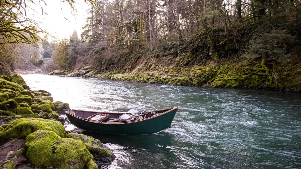
The photo at the top of this page is not Clackamas River.
It is a regional stand-in, honestly captioned but generic — we will not put a name to a river we cannot prove. Send us a photograph you took here and it replaces the stand-in, with your credit on it.
Pioneer badgeUnclaimed
Add a photo of this water
Landscape, not fish — the water itself. Reviewed by hand before it appears. The first one published here earns the Pioneer badge.
Fished this water? Add a photo
Reviewed by hand before it appears. Pick the water, not the spot — we never publish exact locations.
Access
Barton Park - the most-used drift boat launch on the lower river and the top of the classic float.
Carver boat ramp - the standard take-out below Barton and a heavily fished bank reach.
Riverside Park in Estacada - the gauge site with bank access and an upper-river launch.
McIver State Park near Estacada - large park with a ramp, camping and good bank water.
Bonnie Lure State Recreation Site - access at the Eagle Creek confluence.
High Rocks at Gladstone - lower-river bank fishing close to the Willamette confluence.
Upper Clackamas above North Fork Reservoir - forest road access to the trout and whitefish water.
Seasons
Spring: spring chinook enter the river and late winter steelhead are still moving through the drifts.
Summer: low clear flows, summer steelhead higher up, and good trout fishing above the reservoirs.
Fall: coho arrive, flows come back with the first rains, and pressure drops noticeably.
Winter: the main event, with winter steelhead building through the season and the lower drifts busy.
From the water
No logged trips yet. Be the first to put this water on your map.
Log this water
Fished it or cleaned it? Log in or create a free account to log a trip with photos and earn the waterway badge.
Questions
What is the current flow on the Clackamas River?
As of Sep 17, 5:45 am, the USGS gauge CLACKAMAS RIVER AT ESTACADA, OR reads 649 cfs, with water temperature 58.3 F. Conditions update every 15 minutes.
What species can you catch on the Clackamas River?
Anglers target Chinook Salmon, Coastal Cutthroat Trout, Coho Salmon, Mountain Whitefish, Rainbow Trout, Steelhead on the Clackamas River in Oregon.
Are there fishing guides on the Clackamas River?
GuidedFloats lists 1 guide and outfitters on the Clackamas River. Claimed profiles accept booking requests; unclaimed profiles are built from public records and link to the business.
Where can you access the Clackamas River?
Barton Park - the most-used drift boat launch on the lower river and the top of the classic float. Carver boat ramp - the standard take-out below Barton and a heavily fished bank reach. Riverside Park in Estacada - the gauge site with bank access and an upper-river launch. McIver State Park near Estacada - large park with a ramp, camping and good bank water. Bonnie Lure State Recreation Site - access at the Eagle Creek confluence. High Rocks at Gladstone - lower-river bank fishing close to the Willamette confluence. Upper Clackamas above North Fork Reservoir - forest road access to the trout a...
When is the best time to fish the Clackamas River?
Spring: spring chinook enter the river and late winter steelhead are still moving through the drifts. Summer: low clear flows, summer steelhead higher up, and good trout fishing above the reservoirs. Fall: coho arrive, flows come back with the first rains, and pressure drops noticeably. Winter: the main event, with winter steelhead building through the season and the lower drifts busy.
Where are the fishing regulations for the Clackamas River?
Regulations change by season and section. Read the current rules on the Oregon agency site: https://myodfw.com/fishing/regulations