Fishes Deschutes River
Tailwater · Pacific Northwest · Oregon
Deschutes River Fishing Guides
Lower Deschutes tailwater below Pelton Dam floated by raft and drift boat from Warm Springs to the Columbia for wild redband rainbow trout and summer steelhead, with a no-fishing-from-boats rule.
Map of the Deschutes River
25 numbered points: 10 access points, 12 campsites, 1 park or conservation area, 1 USGS gauge, 1 point of interest. Tap a marker for details. Reviewed Sep 8, 2026.
- Access / boat ramp (10)
- Campsite (12)
- Park / conservation area (1)
- USGS gauge (1)
- Point of interest (1)
Map data © OpenStreetMap contributors. Points are curated from OpenStreetMap and state agency sources; confirm access and hours before you go.
Print it. Bag it. Bring it.Phones die, screens crack, and most of this water has no signal. Print this map, fold it into a zip-top bag or dry bag with your license, and you have a backup your electronics can’t give you. Every marker is numbered so you can say exactly where you are.
Open the printable mapAll 25 points on this map
| # | Point | Type | Lat, Lon | Notes |
|---|---|---|---|---|
| 1 | USGS 14092500 Deschutes River near Madras Real-time flow and stage | USGS gauge | 44.72595, -121.24699 | Check the reading before you commit to a float; releases and runoff move this river fast. |
| 2 | Warm Springs Boat Ramp US 26 crossing at Warm Springs | Access / boat ramp | 44.75861, -121.22738 | Top of the lower-river float. |
| 3 | Mecca Flat Campground BLM | Campsite | 44.76941, -121.20791 | |
| 4 | Boat ramp at Mecca Flat OSM: unnamed slipway beside the campground | Access / boat ramp | 44.77045, -121.20871 | |
| 5 | Trout Creek Campground BLM | Campsite | 44.81478, -121.09559 | |
| 6 | Trout Creek Boat Launch BLM | Access / boat ramp | 44.81625, -121.09537 | Take-out for the Warm Springs float and put-in for the run down toward Maupin. |
| 7 | Devil's Canyon Campground BLM | Campsite | 45.11791, -121.13007 | |
| 8 | Long Bend Campground BLM | Campsite | 45.12613, -121.13139 | |
| 9 | Longbend Boat Launch BLM | Access / boat ramp | 45.12685, -121.12936 | |
| 10 | Harpham Flat Boat Launch BLM | Access / boat ramp | 45.13365, -121.12156 | |
| 11 | Harpham Flat Campground BLM | Campsite | 45.13670, -121.12123 | |
| 12 | Wapinitia Campground BLM | Campsite | 45.14399, -121.12538 | |
| 13 | Maupin The one town on the lower river | Point of interest | 45.17528, -121.08077 | Shuttles, fuel, lodging and the city park water; the OSM point is the town boundary centre, not a river access. |
| 14 | Oasis Campground BLM | Campsite | 45.18354, -121.08344 | |
| 15 | Blue Hole Campground BLM | Campsite | 45.21395, -121.07281 | |
| 16 | Oak Springs Campground BLM | Campsite | 45.21885, -121.07478 | |
| 17 | Buckhollow Boat Launch BLM | Access / boat ramp | 45.26732, -121.01907 | |
| 18 | Pine Tree Boat Launch BLM | Access / boat ramp | 45.29926, -121.01820 | |
| 19 | Twin Springs Campground BLM | Campsite | 45.30912, -121.00550 | |
| 20 | Beavertail Boat Launch BLM | Access / boat ramp | 45.33648, -120.94688 | |
| 21 | Beavertail Campground BLM | Campsite | 45.33679, -120.94926 | |
| 22 | Rattlesnake Canyon Campground BLM | Campsite | 45.33664, -120.93151 | |
| 23 | Macks Canyon Boat Launch BLM - end of the access road | Access / boat ramp | 45.39257, -120.88087 | Last road access; below here the run to the mouth has no road on the river. |
| 24 | Deschutes River State Recreation Area Oregon Parks & Recreation | Park / conservation area | 45.62130, -120.90051 | |
| 25 | Boat ramp at the mouth of the Deschutes Unnamed in OSM | Access / boat ramp | 45.63219, -120.91292 | Ramp on the Columbia at the river mouth, opposite the state recreation area. |
Guides on the Deschutes River
Claimed profiles take booking requests. Unclaimed profiles are built from public records so the river is never empty; the guide can claim or remove one any time.
About the Deschutes River
Lower Deschutes tailwater below Pelton Dam floated by raft and drift boat from Warm Springs to the Columbia for wild redband rainbow trout and summer steelhead, with a no-fishing-from-boats rule.
This water needs a real photo
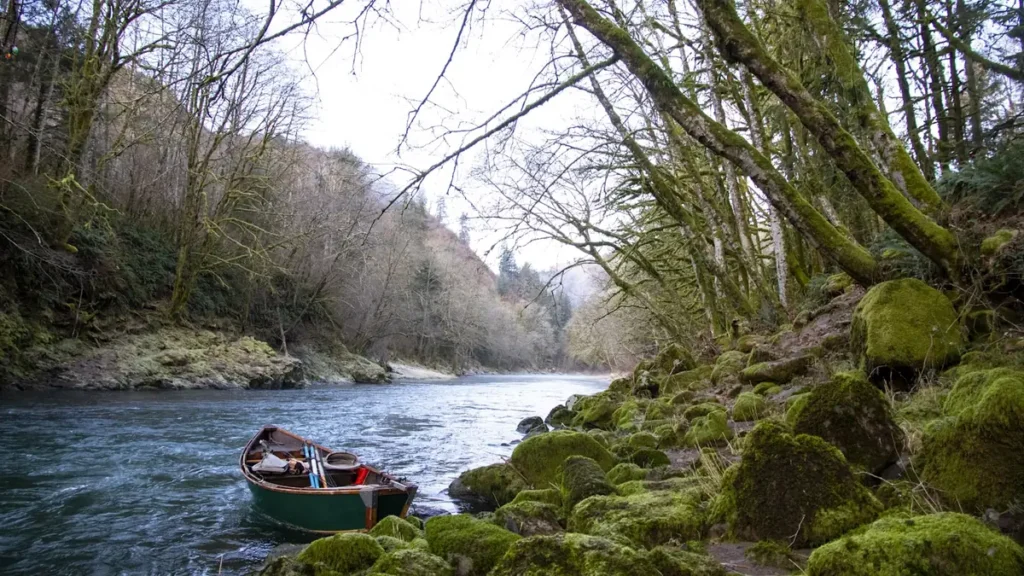
The photo at the top of this page is not Deschutes River.
It is a regional stand-in, honestly captioned but generic — we will not put a name to a river we cannot prove. Send us a photograph you took here and it replaces the stand-in, with your credit on it.
Pioneer badgeUnclaimed
Add a photo of this water
Landscape, not fish — the water itself. Reviewed by hand before it appears. The first one published here earns the Pioneer badge.
Fished this water? Add a photo
Reviewed by hand before it appears. Pick the water, not the spot — we never publish exact locations.
From the water
No logged trips yet. Be the first to put this water on your map.
Log this water
Fished it or cleaned it? Log in or create a free account to log a trip with photos and earn the waterway badge.
Questions
What is the current flow on the Deschutes River?
As of Oct 18, 5:30 pm, the USGS gauge DESCHUTES RIVER NEAR MADRAS, OR reads 3,950 cfs, the 41st percentile for this date, with water temperature 57.4 F. Conditions update every 15 minutes.
What species can you catch on the Deschutes River?
Anglers target Chinook Salmon, Mountain Whitefish, Redband Rainbow Trout, Steelhead on the Deschutes River in Oregon.
Are there fishing guides on the Deschutes River?
GuidedFloats lists 4 guides and outfitters on the Deschutes River. Claimed profiles accept booking requests; unclaimed profiles are built from public records and link to the business.
Where are the fishing regulations for the Deschutes River?
Regulations change by season and section. Read the current rules on the Oregon agency site: https://myodfw.com/fishing/regulations