Fishes French Broad River, Nolichucky River
River · Northeast Tennessee and the Unaka Mountains · Tennessee
Nolichucky River Fishing Guides
A steep Appalachian river that drops out of the Unaka gorge below Erwin and then flattens into first-rate smallmouth float water on its way to the French Broad.
Map of the Nolichucky River
42 numbered points: 2 campsites, 1 outfitter, 22 bridges, 4 parks and conservation areas, 2 agency offices, 8 hazards, 1 USGS gauge, 2 points of interest. Tap a marker for details. Reviewed Oct 23, 2026.
- Campsite (2)
- Outfitter / canoe rental (1)
- Bridge crossing (22)
- Park / conservation area (4)
- Agency / conservation office (2)
- Dam / hazard (8)
- USGS gauge (1)
- Point of interest (2)
Map data © OpenStreetMap contributors. Points are curated from OpenStreetMap and state agency sources; confirm access and hours before you go.
Print it. Bag it. Bring it.Phones die, screens crack, and most of this water has no signal. Print this map, fold it into a zip-top bag or dry bag with your license, and you have a backup your electronics can’t give you. Every marker is numbered so you can say exactly where you are.
Open the printable mapAll 42 points on this map
| # | Point | Type | Lat, Lon | Notes |
|---|---|---|---|---|
| 1 | Last Chance Nolichucky Gorge rapid | Dam / hazard | 36.08456, -82.35221 | Named rapid in the gorge below the state line. |
| 2 | On the Rocks Nolichucky Gorge rapid | Dam / hazard | 36.08355, -82.35570 | Named rapid in the main gorge run. |
| 3 | Jaws Nolichucky Gorge rapid | Dam / hazard | 36.08222, -82.35736 | Named rapid in the main gorge run. |
| 4 | Quartermile Rapid Nolichucky Gorge rapid | Dam / hazard | 36.07817, -82.36090 | The long rapid the gorge run is known for. |
| 5 | Murphy's Ledge Nolichucky Gorge rapid | Dam / hazard | 36.07771, -82.36365 | Ledge drop in the gorge. |
| 6 | Roostertail Rapid Nolichucky Gorge rapid | Dam / hazard | 36.07422, -82.37263 | Named rapid low in the gorge. |
| 7 | Souse Hole rapid below the gorge | Dam / hazard | 36.08439, -82.42370 | Named hole below the gorge. OSM carries two nodes with this name about 2.7 km apart; only this one sits on the channel. |
| 8 | Nolichucky Gorge Campground and Cabins river right above Erwin | Campsite | 36.09891, -82.43261 | Riverside campground at the gorge take-out; the usual base for the gorge run. |
| 9 | Cowbell Rapid rapid above Erwin | Dam / hazard | 36.10086, -82.44773 | Named rapid on the run out to Erwin. |
| 10 | Nolichucky Hostel and Outfitter Erwin, on the river | Outfitter / canoe rental | 36.10566, -82.44848 | Outfitter and hiker hostel on the bank where the Appalachian Trail meets the river. |
| 11 | Jackson Love Highway crossing at Erwin | Bridge crossing | 36.12342, -82.44327 | |
| 12 | James H. Quillen Parkway US 23 crossing at Erwin | Bridge crossing | 36.12648, -82.44389 | |
| 13 | Eugene P. Price Kiwanis Park Erwin town park | Park / conservation area | 36.14421, -82.42652 | Town park on the bank at Erwin, close to the gorge take-out. |
| 14 | Erwin National Fish Hatchery US Fish and Wildlife Service, 4.7 km off the river | Agency / conservation office | 36.16577, -82.38777 | Federal hatchery at Erwin, re-typed from its OSM aquaculture tag; the nearest federal fisheries office to this reach. |
| 15 | Unicoi Wildlife Management Area state wildlife management area | Park / conservation area | 36.16066, -82.45347 | Conservation land along the river, re-typed from its OSM protected-area tag. |
| 16 | SR 81 / SR 107 crossing below Erwin | Bridge crossing | 36.17821, -82.45553 | |
| 17 | Alfred A. Taylor Bridge named highway bridge | Bridge crossing | 36.20716, -82.47348 | |
| 18 | River View riverside RV park | Campsite | 36.19664, -82.48475 | Private caravan park on the bank; mapped in OSM only as River View. |
| 19 | Jackson Bridge Road county crossing | Bridge crossing | 36.18006, -82.53447 | |
| 20 | Bailey Bridge Road county crossing | Bridge crossing | 36.15615, -82.59039 | |
| 21 | Snapp Bridge Road county crossing | Bridge crossing | 36.18570, -82.60881 | |
| 22 | Corby Bridge Road county crossing | Bridge crossing | 36.19326, -82.63253 | |
| 23 | Smith Bridge Road county crossing | Bridge crossing | 36.19683, -82.63793 | |
| 24 | Davy Crockett Birthplace State Park Tennessee State Parks | Park / conservation area | 36.20808, -82.65811 | State park on the river with camping and the best-known access on the middle river. |
| 25 | Chuckey Pike crossing at Chuckey | Bridge crossing | 36.20506, -82.68325 | |
| 26 | Erwin Highway crossing above Kinser Park | Bridge crossing | 36.15612, -82.72561 | |
| 27 | Jones Bridge Road crossing above the dam | Bridge crossing | 36.11724, -82.78151 | |
| 28 | Old Asheville Highway crossing above the dam | Bridge crossing | 36.08617, -82.82431 | |
| 29 | Kinser Park Greene County park above Nolichucky Dam | Park / conservation area | 36.08214, -82.85105 | County park and river frontage on the reach just above the dam. |
| 30 | Nolichucky/Unaka Ranger Station USDA Forest Service ranger district | Agency / conservation office | 36.08739, -82.87231 | Forest Service ranger station for the Nolichucky and Unaka districts, 1.5 km off the river. |
| 31 | Nolichucky Dam TVA dam at the head of Davy Crockett Lake | Point of interest | 36.06522, -82.86668 | Dam across the river below Kinser Park; the river is impounded above it. |
| 32 | Asheville Highway crossing at Nolichucky Dam | Bridge crossing | 36.06521, -82.86804 | |
| 33 | West Allens Bridge Road crossing below the dam | Bridge crossing | 36.05963, -82.90764 | |
| 34 | Newport Highway crossing on the lower river | Bridge crossing | 36.07042, -82.96642 | |
| 35 | Poplar Springs Road crossing on the lower river | Bridge crossing | 36.08255, -82.99344 | |
| 36 | Bewleys Chapel Road crossing on the lower river | Bridge crossing | 36.09703, -83.05058 | |
| 37 | Knob Creek Road crossing above Parrottsville | Bridge crossing | 36.12288, -83.12531 | |
| 38 | Parrottsville Road crossing at Parrottsville | Bridge crossing | 36.17697, -83.18511 | |
| 39 | Enka Highway SR 160 crossing near Lowland | Bridge crossing | 36.12703, -83.17597 | |
| 40 | Enka Dam weir on the lower river near Lowland | Point of interest | 36.14576, -83.21192 | Low weir spanning the lower river near Lowland, mapped in OSM as a weir. |
| 41 | Spencer Hale Road last crossing above the French Broad | Bridge crossing | 36.13000, -83.22008 | |
| 42 | USGS 03467609 Nolichucky River near Lowland Site 03467609 | USGS gauge | 36.12633, -83.17530 | Live stage and discharge for this reach. |
Guides on the Nolichucky River
Claimed profiles take booking requests. Unclaimed profiles are built from public records so the river is never empty; the guide can claim or remove one any time.
Order on this page: premium and outfitter plans first (labelled Premium placement), then claimed free profiles, then unclaimed — one published price, no bidding for position. How placement works
About the Nolichucky River
The Nolichucky forms where the Toe and Cane rivers meet in North Carolina, cuts a deep gorge through the Unaka Mountains between Erwin and Poplar, then runs west across the valley of East Tennessee to join the French Broad above Douglas Lake. The USGS gauge near Lowland watches roughly seventeen hundred square miles and is the flow reference for the lower half of the river. It reports discharge and stage and carries no active temperature series, so the discharge reading is what a guide checks before committing to a day.
The river has two distinct personalities. The gorge above Erwin is serious whitewater, a remote Class III to IV run walled in by mountains and paralleled only by railroad track, and it is the province of commercial raft outfitters rather than anglers. Below Erwin the gradient eases, the river widens over gravel and ledge, and it turns into some of the most productive smallmouth float water in the region.
That lower water is what earns the Nolichucky its reputation with anglers. Smallmouth bass dominate, holding on ledges, shoals and current breaks, and drift-boat and raft trips work the reaches between Greeneville and the French Broad confluence. Rock bass and redbreast sunfish are constant company, walleye run the river in late winter, muskellunge are present in the lower reaches, and flathead and channel catfish occupy the deeper holes.
Flow is genuinely volatile. The Unaka headwaters shed rain fast, and the river can come up hard and muddy overnight, then drop back within a couple of days. Hurricane Helene remade long stretches of the channel and its access points in 2024, so local information on ramps and roads is worth confirming before a trip. Outfitters in Erwin and Greeneville run both the gorge and the lower float water, so a single call usually settles whether conditions favor whitewater or fishing on a given weekend.
This water needs a real photo
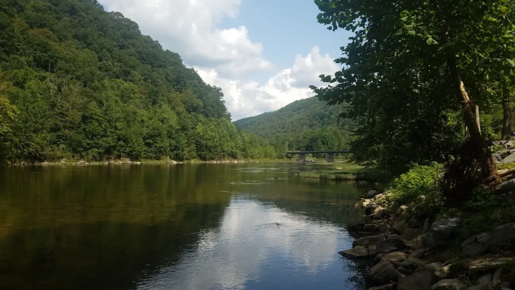
The photo at the top of this page is not Nolichucky River.
It is a regional stand-in, honestly captioned but generic — we will not put a name to a river we cannot prove. Send us a photograph you took here and it replaces the stand-in, with your credit on it.
Pioneer badgeUnclaimed
Add a photo of this water
Landscape, not fish — the water itself. Reviewed by hand before it appears. The first one published here earns the Pioneer badge.
Fished this water? Add a photo
Reviewed by hand before it appears. Pick the water, not the spot — we never publish exact locations.
Access
Lowland gauge vicinity - the flow reference for the lower river.
Davy Crockett Birthplace State Park, Limestone - camping and river access on the middle reach.
Chuckey and Highway 107 crossing - a common float put-in.
Erwin and the Nolichucky Gorge takeout - the end of the commercial whitewater run.
Greeneville area accesses - road-supported launches on the smallmouth water.
French Broad confluence near Douglas Lake - the downstream end of the float water.
Jackson Bridge access - middle-river put-in and takeout.
Seasons
Spring: high and often muddy from mountain rain; excellent when it drops and clears.
Summer: the core smallmouth float season, with low clear water and reliable wading.
Fall: stable low flows, cooling water and the best smallmouth fishing of the year.
Winter: cold and prone to hard rises; walleye run and musky fishing picks up.
From the water
No logged trips yet. Be the first to put this water on your map.
Log this water
Fished it or cleaned it? Log in or create a free account to log a trip with photos and earn the waterway badge.
Questions
What is the current flow on the Nolichucky River?
As of Nov 2, 6:30 am, the USGS gauge NOLICHUCKY RIVER NEAR LOWLAND reads 593 cfs. Conditions update every 15 minutes.
What species can you catch on the Nolichucky River?
Anglers target Channel Catfish, Flathead Catfish, Largemouth Bass, Muskellunge, Redbreast Sunfish, Rock Bass, Smallmouth Bass, Walleye on the Nolichucky River in Tennessee.
Are there fishing guides on the Nolichucky River?
GuidedFloats lists 1 guide and outfitters on the Nolichucky River. Claimed profiles accept booking requests; unclaimed profiles are built from public records and link to the business.
Where can you access the Nolichucky River?
Lowland gauge vicinity - the flow reference for the lower river. Davy Crockett Birthplace State Park, Limestone - camping and river access on the middle reach. Chuckey and Highway 107 crossing - a common float put-in. Erwin and the Nolichucky Gorge takeout - the end of the commercial whitewater run. Greeneville area accesses - road-supported launches on the smallmouth water. French Broad confluence near Douglas Lake - the downstream end of the float water. Jackson Bridge access - middle-river put-in and takeout.
When is the best time to fish the Nolichucky River?
Spring: high and often muddy from mountain rain; excellent when it drops and clears. Summer: the core smallmouth float season, with low clear water and reliable wading. Fall: stable low flows, cooling water and the best smallmouth fishing of the year. Winter: cold and prone to hard rises; walleye run and musky fishing picks up.
Where are the fishing regulations for the Nolichucky River?
Regulations change by season and section. Read the current rules on the Tennessee agency site: https://www.tn.gov/twra/fishing-regs.html