Laramie River Fishing Guides
A long southeastern Wyoming river that changes from a mountain trout stream to a warmwater prairie river, reaching the North Platte at the old fort it is named for.
Guides on the Laramie River
Claimed profiles take booking requests. Unclaimed profiles are built from public records so the river is never empty; the guide can claim or remove one any time.
No guides listed yet
Guide or outfit this water? Create your profile. Listing is free, the commission is 10% or 7% with a premium profile, and premium profiles list first on this water.
About the Laramie River
The Laramie River is two completely different rivers joined end to end, and the gauge near Fort Laramie sits on the second of them. It begins high in the mountains of northern Colorado, crosses into Wyoming, and runs north across the Laramie Plains as a cold trout stream. Then it turns northeast, drops through Wheatland and the Grayrocks Reservoir, and spends its last stretch as a warmwater prairie river before joining the North Platte at the site of the fort that gave it its name. Anyone planning a trip needs to know which of those two rivers they are heading for.
On this lower reach the fishery is a mixed one. Channel catfish are the most consistent species and are well distributed through the deeper bends. Walleye move up out of Grayrocks and from the North Platte, smallmouth and largemouth bass hold on the rock and the rip-rap, and black crappie and yellow perch occupy the slower backwaters. Brown and rainbow trout are still present and are caught here, particularly in cooler months and in the stretches immediately below the reservoir where the released water stays cold enough to suit them.
The gauge near Fort Laramie reports discharge and stage, and on this river the readings reflect irrigation as much as weather: this is heavily diverted water, and summer flows in the lower river can be a fraction of what the upstream drainage would suggest. A low summer reading is normal rather than a sign of drought. The historic site at Fort Laramie sits at the confluence and gives the most straightforward public access on the lower river. That split personality is also an opportunity, because an angler willing to drive an hour upstream can fish for trout in the morning and catfish in the evening on what is nominally the same river.
This water needs a real photo
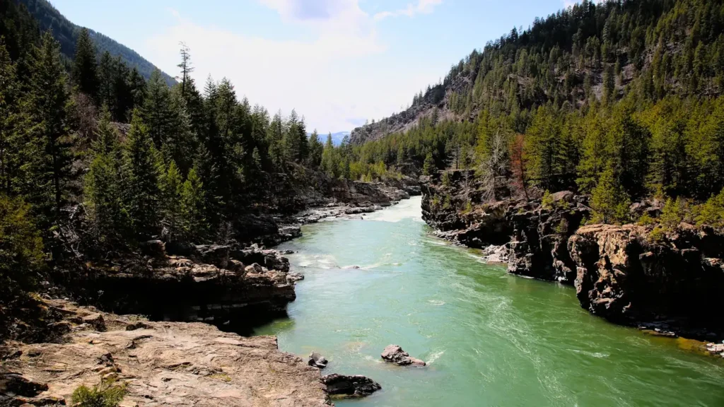
The photo at the top of this page is not Laramie River.
It is a regional stand-in, honestly captioned but generic — we will not put a name to a river we cannot prove. Send us a photograph you took here and it replaces the stand-in, with your credit on it.
Add a photo of this water
Landscape, not fish — the water itself. Reviewed by hand before it appears. The first one published here earns the Pioneer badge.
Fished this water? Add a photo
Reviewed by hand before it appears. Pick the water, not the spot — we never publish exact locations.
Access
Fort Laramie - the gauge locality and the confluence with the North Platte, with the national historic site adjoining the river.
Grayrocks Reservoir - the impoundment upstream, which governs flows and holds walleye that move into the river.
Wheatland - the nearest town of size, with road access to the middle reaches above the reservoir.
Guernsey - a town on the North Platte just downstream, useful as an alternative in low water.
Laramie - the city far upstream on the cold trout reach, a different river entirely.
Jelm - an upper-river locality on the Wyoming trout water above the plains.
North Platte River confluence - the downstream limit, and the source of larger fish moving up.
Seasons
Spring: the highest flows of the year before irrigation season begins, with walleye moving up from the reservoir and the North Platte.
Summer: low and warm on the lower river as diversions take their share, with channel catfish the most dependable target.
Fall: flows recover as irrigation ends and the water cools, bringing the best bass and trout fishing of the year.
Winter: cold and low with ice in the slower bends, though the reach below Grayrocks stays open on its release.
From the water
No logged trips yet. Be the first to put this water on your map.
Log this water
Fished it or cleaned it? Log in or create a free account to log a trip with photos and earn the waterway badge.
Questions
What is the current flow on the Laramie River?
As of Nov 2, 6:00 am, the USGS gauge LARAMIE RIVER NEAR FORT LARAMIE, WY reads 23 cfs. Conditions update every 15 minutes.
What species can you catch on the Laramie River?
Anglers target Black Crappie, Brown Trout, Channel Catfish, Common Carp, Largemouth Bass, Rainbow Trout, Smallmouth Bass, Walleye, White Sucker, Yellow Perch on the Laramie River in Wyoming.
Where can you access the Laramie River?
Fort Laramie - the gauge locality and the confluence with the North Platte, with the national historic site adjoining the river. Grayrocks Reservoir - the impoundment upstream, which governs flows and holds walleye that move into the river. Wheatland - the nearest town of size, with road access to the middle reaches above the reservoir. Guernsey - a town on the North Platte just downstream, useful as an alternative in low water. Laramie - the city far upstream on the cold trout reach, a different river entirely. Jelm - an upper-river locality on the Wyoming trout water above the plains. North...
When is the best time to fish the Laramie River?
Spring: the highest flows of the year before irrigation season begins, with walleye moving up from the reservoir and the North Platte. Summer: low and warm on the lower river as diversions take their share, with channel catfish the most dependable target. Fall: flows recover as irrigation ends and the water cools, bringing the best bass and trout fishing of the year. Winter: cold and low with ice in the slower bends, though the reach below Grayrocks stays open on its release.
Where are the fishing regulations for the Laramie River?
Regulations change by season and section. Read the current rules on the Wyoming agency site: https://wgfd.wyo.gov/regulations