Shoshone River Fishing Guides
Cody's home river, running out of the Absarokas through Buffalo Bill Reservoir and down the Bighorn Basin, with a tailwater reach that fishes when the rest of Wyoming is frozen or flooded.
Map of the Shoshone River
10 numbered points: 3 campsites, 2 parks and conservation areas, 1 agency office, 3 hazards, 1 USGS gauge. Tap a marker for details. Reviewed Sep 15, 2026.
- Campsite (3)
- Park / conservation area (2)
- Agency / conservation office (1)
- Dam / hazard (3)
- USGS gauge (1)
Print it. Bag it. Bring it.Phones die, screens crack, and most of this water has no signal. Print this map, fold it into a zip-top bag or dry bag with your license, and you have a backup your electronics can’t give you. Every marker is numbered so you can say exactly where you are.
Open the printable mapAll 10 points on this map
| # | Point | Type | Lat, Lon | Notes |
|---|---|---|---|---|
| 1 | Buffalo Bill Dam Bureau of Reclamation | Dam / hazard | 44.50147, -109.18324 | Upstream limit of the reach; releases here set the flow through Cody. |
| 2 | Wapiti Ranger District Shoshone National Forest | Agency / conservation office | 44.51623, -109.09473 | |
| 3 | Parkway RV Campground Cody · private RV park | Campsite | 44.51487, -109.09410 | |
| 4 | River View Park Cody · riverside park | Park / conservation area | 44.53105, -109.07089 | The one Cody city park actually on the bank; the rest of the town ladder sits back from the water. |
| 5 | Cody Trout Ranch Camp - RV & Tipi Park Below Cody · private camp | Campsite | 44.57038, -108.98297 | |
| 6 | Corbett Dam Irrigation diversion | Dam / hazard | 44.58893, -108.95435 | |
| 7 | Willwood Diversion Dam Irrigation diversion | Dam / hazard | 44.67152, -108.90974 | |
| 8 | Byron Memorial Park Byron · town park | Park / conservation area | 44.79614, -108.50043 | |
| 9 | USGS 06285100 — Shoshone River near Lovell USGS streamgage | USGS gauge | 44.83853, -108.43518 | |
| 10 | Lovell Camper Park Lovell · town camper park | Campsite | 44.84167, -108.38369 | Near the Shoshone's arm of Bighorn Lake, the downstream limit of the reach. |
Guides on the Shoshone River
Claimed profiles take booking requests. Unclaimed profiles are built from public records so the river is never empty; the guide can claim or remove one any time.
About the Shoshone River
The Shoshone forms where the North Fork and South Fork meet above Buffalo Bill Reservoir and runs east past Cody, through the Shoshone Canyon and out across the Bighorn Basin to Lovell and the Bighorn River. Anglers use it in three different ways. The North Fork above the reservoir, along the highway to Yellowstone’s east entrance, is a freestone cutthroat and rainbow stream. The reach below Buffalo Bill Dam through Cody is a tailwater with browns and rainbows that fishes all winter. The lower river through the basin is warmer, bigger, and holds a mix of trout, whitefish and walleye.
The tailwater below the dam is the reason Cody has fishing guides. Cold releases keep the river open in January, the browns run large, and the DeMaris Springs area adds mineral-rich inflow that keeps the water temperature stable. Below town the river drops through a series of diversions and irrigation returns that make the middle reaches unpredictable in summer, then settles into the long, slower water above Lovell where this gauge sits.
Read the Lovell number as a basin-scale reading rather than a tailwater one; it includes irrigation return flows and tributary input from below Cody. Generally, moderate flows in the several-hundred to low-thousand cfs range fish well, spring runoff and irrigation releases can push it far higher and off-color, and the clearest, most consistent water in any month is up in the tailwater.
Cody has everything: lodging, shops, an airport and a genuine tourist economy built on Yellowstone traffic. That makes it the easiest Wyoming trout town to get to and the easiest to book late.
This water needs a real photo
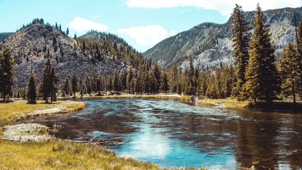
The photo at the top of this page is not Shoshone River.
It is a regional stand-in, honestly captioned but generic — we will not put a name to a river we cannot prove. Send us a photograph you took here and it replaces the stand-in, with your credit on it.
Add a photo of this water
Landscape, not fish — the water itself. Reviewed by hand before it appears. The first one published here earns the Pioneer badge.
Fished this water? Add a photo
Reviewed by hand before it appears. Pick the water, not the spot — we never publish exact locations.
Access
North Fork Highway (US 14/16/20): pullouts and Shoshone National Forest access above Buffalo Bill Reservoir.
Buffalo Bill State Park: reservoir access and the top of the tailwater.
Shoshone Canyon and DeMaris Springs: walk-in tailwater access just west of Cody.
Cody river accesses along the highway east of town: wade and small-boat access to the tailwater.
Willwood and Byron area accesses: lower basin reaches with irrigation influence.
Lovell area: access near the gauge above the Bighorn confluence and Bighorn Canyon.
Seasons
Year-round on the tailwater below Buffalo Bill Dam; winter is a genuine season here.
March through May: strong pre-runoff fishing, then high, dirty water on the forks.
June and July: runoff and irrigation swings; the tailwater stays the reliable option.
August through November: clearing water basin-wide, hoppers late summer, brown trout in October.
From the water
No logged trips yet. Be the first to put this water on your map.
Log this water
Fished it or cleaned it? Log in or create a free account to log a trip with photos and earn the waterway badge.
Questions
What is the current flow on the Shoshone River?
As of Oct 19, 2:00 am, the USGS gauge SHOSHONE RIVER NEAR LOVELL, WY reads 663 cfs, the 39th percentile for this date, with water temperature 51.8 F. Conditions update every 15 minutes.
What species can you catch on the Shoshone River?
Anglers target Brown Trout, Cutthroat Trout, Mountain Whitefish, Rainbow Trout, Walleye on the Shoshone River in Wyoming.
Are there fishing guides on the Shoshone River?
GuidedFloats lists 1 guide and outfitters on the Shoshone River. Claimed profiles accept booking requests; unclaimed profiles are built from public records and link to the business.
Where can you access the Shoshone River?
North Fork Highway (US 14/16/20): pullouts and Shoshone National Forest access above Buffalo Bill Reservoir. Buffalo Bill State Park: reservoir access and the top of the tailwater. Shoshone Canyon and DeMaris Springs: walk-in tailwater access just west of Cody. Cody river accesses along the highway east of town: wade and small-boat access to the tailwater. Willwood and Byron area accesses: lower basin reaches with irrigation influence. Lovell area: access near the gauge above the Bighorn confluence and Bighorn Canyon.
When is the best time to fish the Shoshone River?
Year-round on the tailwater below Buffalo Bill Dam; winter is a genuine season here. March through May: strong pre-runoff fishing, then high, dirty water on the forks. June and July: runoff and irrigation swings; the tailwater stays the reliable option. August through November: clearing water basin-wide, hoppers late summer, brown trout in October.
Where are the fishing regulations for the Shoshone River?
Regulations change by season and section. Read the current rules on the Wyoming agency site: https://wgfd.wyo.gov/Regulations/Fish/Fishing-Regulation