Bayou Teche Fishing Guides
A 125-mile Acadiana bayou running from Port Barre to Berwick, slow and tree-lined, with a year-round largemouth and sac-a-lait fishery and public landings in nearly every town along the way.
Guides on the Bayou Teche
Claimed profiles take booking requests. Unclaimed profiles are built from public records so the river is never empty; the guide can claim or remove one any time.
No guides listed yet
Guide or outfit this water? Create your profile. Listing is free, the commission is 10% or 7% with a premium profile, and premium profiles list first on this water.
About the Bayou Teche
Bayou Teche is the defining water of Acadiana, a 125-mile distributary of the Mississippi that leaves Bayou Courtableau at Port Barre and winds south through Arnaudville, Breaux Bridge, St. Martinville, New Iberia and Franklin before reaching the Atchafalaya at Berwick. It is a bayou in the strict sense rather than a river: gradient is almost nothing, current is a slow push rather than a run, and the channel holds a steady pool depth of eight to twenty feet through most of its length. Cypress and live oak lean over both banks, and the bank cover, not the current seam, is where the fish live.
The fishery is a warmwater one, and it is remarkably consistent because the water level is managed rather than flashy. Largemouth bass hold on laydowns, dock pilings, bridge abutments and the outside of every bend, and spotted bass mix in through the upper parishes. Sac-a-lait, the local name for crappie, stack on brush and around the bridge pilings from late winter through the spawn and are the single most sought fish on the bayou. Bluegill and redear fill the shallow cuts in summer. Channel, blue and flathead catfish work the deeper holes, and bowfin, gar and freshwater drum round out a bycatch that surprises visiting anglers.
The Teche is a jonboat and kayak fishery rather than a drift-boat one. There is no float in the whitewater sense; you launch, you fish a stretch of bank, and you motor or paddle back. The Bayou Teche Paddle Trail has formalised access along much of the corridor, and the towns have added landings and pontoons over the past decade, so a day trip can be built around almost any parish road crossing. Guided pressure is light compared with the Atchafalaya proper, which is part of the appeal.
The USGS gauge at Arnaudville reports stage and discharge and is the practical reference for the middle bayou. Because the system is controlled at Keystone Lock and by the Port Barre structure, the gauge tells you more about water clarity and whether the bayou is pushing than it does about danger.
This water needs a real photo
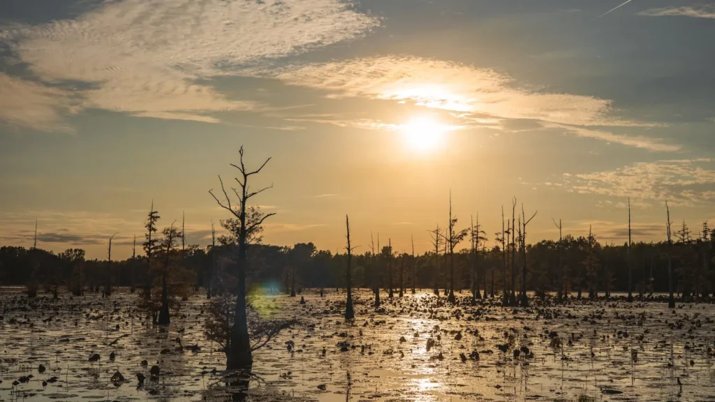
The photo at the top of this page is not Bayou Teche.
It is a regional stand-in, honestly captioned but generic — we will not put a name to a river we cannot prove. Send us a photograph you took here and it replaces the stand-in, with your credit on it.
Add a photo of this water
Landscape, not fish — the water itself. Reviewed by hand before it appears. The first one published here earns the Pioneer badge.
Fished this water? Add a photo
Reviewed by hand before it appears. Pick the water, not the spot — we never publish exact locations.
Access
Port Barre boat launch — the top of the bayou at the Courtableau junction, concrete ramp, best for the upper reach.
Arnaudville landing at the Bayou Fuselier confluence — closest access to the USGS gauge and a good middle put-in.
Poche Bridge and Bridge Street landings, Breaux Bridge — town access with parking, popular with kayak anglers.
Parc Hardy, Breaux Bridge — paddle-trail launch with a floating dock.
St. Martinville city landing below the Evangeline Oak — trailer ramp and downtown parking.
New Iberia city park ramp — access to the lower middle bayou and the Spanish Lake side.
Franklin and Charenton landings — lower Teche access toward the Atchafalaya and Berwick.
Seasons
Spring: sac-a-lait move to brush and bridge pilings from February into April; bass spawn in the shallow cuts and canal mouths through March.
Summer: early and late only. Fish the shade line under cypress and docks; catfish take over the deep bends through the heat of the day.
Fall: cooling water pulls bass back onto laydowns and the outside bends; this is the most pleasant paddling of the year.
Winter: the bayou clears and slows. Slow-rolled presentations on deeper wood take the biggest bass of the year.
From the water
No logged trips yet. Be the first to put this water on your map.
Log this water
Fished it or cleaned it? Log in or create a free account to log a trip with photos and earn the waterway badge.
Questions
What species can you catch on the Bayou Teche?
Anglers target Black Crappie, Blue Catfish, Bluegill, Bowfin, Channel Catfish, Flathead Catfish, Freshwater Drum, Largemouth Bass, Longnose Gar, Redear Sunfish, Spotted Bass, White Crappie on the Bayou Teche in Louisiana.
Where can you access the Bayou Teche?
Port Barre boat launch — the top of the bayou at the Courtableau junction, concrete ramp, best for the upper reach. Arnaudville landing at the Bayou Fuselier confluence — closest access to the USGS gauge and a good middle put-in. Poche Bridge and Bridge Street landings, Breaux Bridge — town access with parking, popular with kayak anglers. Parc Hardy, Breaux Bridge — paddle-trail launch with a floating dock. St. Martinville city landing below the Evangeline Oak — trailer ramp and downtown parking. New Iberia city park ramp — access to the lower middle bayou and the Spanish Lake side. Franklin a...
When is the best time to fish the Bayou Teche?
Spring: sac-a-lait move to brush and bridge pilings from February into April; bass spawn in the shallow cuts and canal mouths through March. Summer: early and late only. Fish the shade line under cypress and docks; catfish take over the deep bends through the heat of the day. Fall: cooling water pulls bass back onto laydowns and the outside bends; this is the most pleasant paddling of the year. Winter: the bayou clears and slows. Slow-rolled presentations on deeper wood take the biggest bass of the year.
Where are the fishing regulations for the Bayou Teche?
Regulations change by season and section. Read the current rules on the Louisiana agency site: https://www.wlf.louisiana.gov/page/recreational-freshwater-finfish-and-crawfish