Fishes Spokane River, St. Joe River
River · Idaho Panhandle · Idaho
St. Joe River Fishing Guides
A Wild and Scenic cutthroat river in the Idaho Panhandle, gauged at Calder, floated and waded for wild westslope cutthroat on dry flies all summer.
Map of the St. Joe River
18 numbered points: 4 access points, 8 campsites, 1 bridge, 1 park or conservation area, 1 agency office, 1 regulation section limit, 1 USGS gauge, 1 point of interest. Tap a marker for details. Reviewed Sep 15, 2026.
- Access / boat ramp (4)
- Campsite (8)
- Bridge crossing (1)
- Park / conservation area (1)
- Agency / conservation office (1)
- Regulation section limit (1)
- USGS gauge (1)
- Point of interest (1)
Map data © OpenStreetMap contributors. Points are curated from OpenStreetMap and state agency sources; confirm access and hours before you go.
Print it. Bag it. Bring it.Phones die, screens crack, and most of this water has no signal. Print this map, fold it into a zip-top bag or dry bag with your license, and you have a backup your electronics can’t give you. Every marker is numbered so you can say exactly where you are.
Open the printable mapAll 18 points on this map
| # | Point | Type | Lat, Lon | Notes |
|---|---|---|---|---|
| 1 | Heller Creek Campground Idaho Panhandle NF | Campsite | 47.06519, -115.21787 | Uppermost Forest Service campground on the St. Joe road, at the top of the drivable river. |
| 2 | Spruce Tree Campground Idaho Panhandle NF | Campsite | 47.03808, -115.34777 | Forest Service campground on the upper river; the St. Joe River Trail crosses just below it. |
| 3 | Line Creek Stock Camp Idaho Panhandle NF · stock camp | Campsite | 47.04397, -115.34968 | Forest Service stock camp beside the upper river, a little below Spruce Tree. |
| 4 | Fly Flat Campground Idaho Panhandle NF | Campsite | 47.11286, -115.39042 | Forest Service campground on the upper St. Joe River Road. |
| 5 | Tin Can Flat Campground Idaho Panhandle NF | Campsite | 47.23026, -115.62231 | Forest Service campground on the river road above Avery. |
| 6 | Turner Flat Campground Idaho Panhandle NF | Campsite | 47.23668, -115.65512 | Forest Service campground on the river road above Avery. |
| 7 | Packsaddle Campground Idaho Panhandle NF | Campsite | 47.23167, -115.73029 | Forest Service campground a few miles above Avery. |
| 8 | Upper Landing Idaho Panhandle NF · picnic site | Access / boat ramp | 47.25101, -115.78352 | Riverside picnic area and information board just above Avery. OSM maps it as a picnic site, not a ramp — hand launch. |
| 9 | Rule boundary — North Fork St. Joe confluence Idaho Fish and Game section limit | Regulation section limit | 47.25030, -115.80600 | Idaho splits the St. Joe here: one section runs from Coeur d'Alene Lake up to and including the North Fork, another from the North Fork upstream. Boundary only — read the current rules before you fish. |
| 10 | Ruth Lindow Memorial Park Avery | Park / conservation area | 47.25050, -115.80610 | Small riverside park in Avery, at the North Fork confluence. |
| 11 | Avery Office, Idaho Panhandle National Forests US Forest Service | Agency / conservation office | 47.25295, -115.91958 | Forest Service office on the St. Joe River Road below Avery — road, fire and campground information. |
| 12 | Huckleberry Campground Idaho Panhandle NF | Campsite | 47.26878, -116.08539 | Forest Service campground on the lower river road above Calder. |
| 13 | Calder Boat Launch Calder | Access / boat ramp | 47.27473, -116.18878 | Launch at Calder beside the county bridge; the river's USGS gauge sits at the same bend. |
| 14 | USGS gauge — St. Joe River at Calder Site 12414500 | USGS gauge | 47.27444, -116.18889 | The flow reading for the whole St. Joe. Check it before you commit to a float. |
| 15 | Falls Creek Falls Falls Creek | Point of interest | 47.32098, -116.29759 | Roadside waterfall on Falls Creek just above its mouth — a landmark on the lower river road. |
| 16 | Boat ramp below Saint Joe City Unnamed slipway in OpenStreetMap | Access / boat ramp | 47.32365, -116.39352 | OSM maps a ramp here with no name; the nearest named road is Saint Joe City Road. Confirm locally before relying on it. |
| 17 | Highway 3 bridge, St. Maries St. Maries | Bridge crossing | 47.31720, -116.56159 | The last road crossing before the river runs out into Coeur d'Alene Lake. |
| 18 | Silvertip Landing Lower river · slackwater | Access / boat ramp | 47.36157, -116.69267 | Landing on the slow lower reach where the St. Joe meets Coeur d'Alene Lake. |
Guides on the St. Joe River
Claimed profiles take booking requests. Unclaimed profiles are built from public records so the river is never empty; the guide can claim or remove one any time.
Order on this page: premium and outfitter plans first (labelled Premium placement), then claimed free profiles, then unclaimed — one published price, no bidding for position. How placement works
About the St. Joe River
The St. Joe rises in the Bitterroot divide country on the Idaho-Montana line and runs west about a hundred and forty miles through the Panhandle to Coeur d’Alene Lake, and the upper half of it is one of the most consistent wild cutthroat fisheries in the interior Northwest. The USGS gauge at Calder sits on the middle river and reports discharge and stage; there is no water temperature series, so summer thermal decisions are made on air temperature and time of day. Above Avery the river carries a Wild and Scenic designation and the character changes to pocket water and boulder gardens.
The fishery is built almost entirely on native westslope cutthroat trout, protected by catch-and-release regulations through most of the river and remarkably willing to eat a dry fly. Fish in the twelve-to-sixteen-inch range are the norm, with larger ones in the deeper canyon pools. Bull trout are present and fully protected, mountain whitefish are abundant and fish through the cold months, and a few rainbow and brook trout appear in the lower reaches. This is not a numbers-and-size river in the tailwater sense; it is a wild-fish river with a long, gentle dry fly season.
Guides run the St. Joe as a raft and drift-boat float from around Avery down through Calder toward St. Maries, with wade trips on the upper river above the floatable water. The road follows much of the corridor, so access is unusually good for a river this remote-feeling, and a great deal of the fishing is done on foot from pullouts. Outfitters in St. Maries, Avery and Coeur d’Alene run the water through a season that generally opens after runoff in late June.
Runoff is the governing factor. The St. Joe is entirely free-flowing and snowmelt-driven, running high and cold well into June in most years and dropping into ideal float and wade condition by early July. Low, warm late-August flows can push anglers to fish mornings only. Idaho licenses are required, the catch-and-release and tackle rules vary by reach, and the state regulations linked below spell out which section carries which.
This water needs a real photo
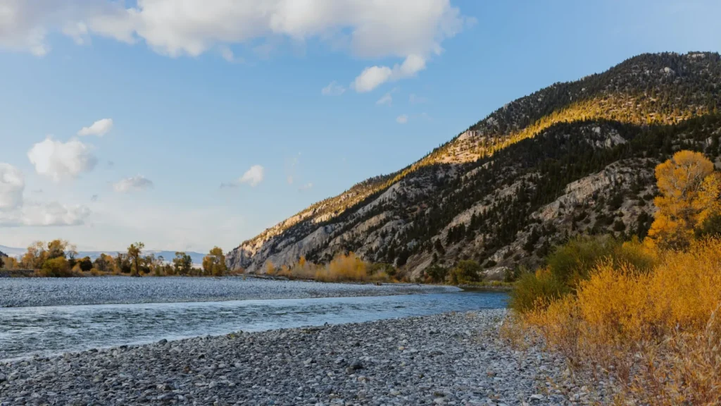
The photo at the top of this page is not St. Joe River.
It is a regional stand-in, honestly captioned but generic — we will not put a name to a river we cannot prove. Send us a photograph you took here and it replaces the stand-in, with your credit on it.
Pioneer badgeUnclaimed
Add a photo of this water
Landscape, not fish — the water itself. Reviewed by hand before it appears. The first one published here earns the Pioneer badge.
Fished this water? Add a photo
Reviewed by hand before it appears. Pick the water, not the spot — we never publish exact locations.
Access
Calder river access at the USGS gauge - middle river launch and the flow reference.
Avery access - the standard upper put-in for float trips.
Huckleberry and Tumbledown campground accesses - roadside wade points on the middle river.
Marble Creek confluence access - lower float section entry.
St. Maries city access - the bottom of the guided range near the lake.
Forest Road 50 pullouts above Avery - walk-in wading on the Wild and Scenic upper river.
Red Ives area accesses - remote upper river headwater wading.
Seasons
Spring: snowmelt runoff keeps the river high and unfishable through most of May and into June.
Summer: the main season, opening after runoff with dependable dry fly fishing from July through August.
Fall: excellent September fishing as flows steady and cutthroat feed heavily before winter.
Winter: cold and largely inaccessible, with whitefish the only realistic target on open days.
From the water
No logged trips yet. Be the first to put this water on your map.
Log this water
Fished it or cleaned it? Log in or create a free account to log a trip with photos and earn the waterway badge.
Questions
What is the current flow on the St. Joe River?
As of Nov 2, 7:30 am, the USGS gauge ST JOE RIVER AT CALDER, ID reads 372 cfs. Conditions update every 15 minutes.
What species can you catch on the St. Joe River?
Anglers target Brook Trout, Bull Trout, Mountain Whitefish, Rainbow Trout, Westslope Cutthroat Trout on the St. Joe River in Idaho.
Are there fishing guides on the St. Joe River?
GuidedFloats lists 2 guides and outfitters on the St. Joe River. Claimed profiles accept booking requests; unclaimed profiles are built from public records and link to the business.
Where can you access the St. Joe River?
Calder river access at the USGS gauge - middle river launch and the flow reference. Avery access - the standard upper put-in for float trips. Huckleberry and Tumbledown campground accesses - roadside wade points on the middle river. Marble Creek confluence access - lower float section entry. St. Maries city access - the bottom of the guided range near the lake. Forest Road 50 pullouts above Avery - walk-in wading on the Wild and Scenic upper river. Red Ives area accesses - remote upper river headwater wading.
When is the best time to fish the St. Joe River?
Spring: snowmelt runoff keeps the river high and unfishable through most of May and into June. Summer: the main season, opening after runoff with dependable dry fly fishing from July through August. Fall: excellent September fishing as flows steady and cutthroat feed heavily before winter. Winter: cold and largely inaccessible, with whitefish the only realistic target on open days.
Where are the fishing regulations for the St. Joe River?
Regulations change by season and section. Read the current rules on the Idaho agency site: https://idfg.idaho.gov/rules/fish