Fishes Umpqua River
River · Southwest Oregon in Douglas County, from the Roseburg forks down through Elkton to Reedsport and the coast · Oregon
Umpqua River Fishing Guides
The mainstem Umpqua below the forks is one of the great multi-species rivers of the West, with a smallmouth fishery that can produce a hundred fish in a day.
Map of the Umpqua River
39 numbered points: 22 access points, 4 campsites, 6 bridges, 5 parks and conservation areas, 1 regulation section limit, 1 USGS gauge. Tap a marker for details. Reviewed Sep 25, 2026.
- Access / boat ramp (22)
- Campsite (4)
- Bridge crossing (6)
- Park / conservation area (5)
- Regulation section limit (1)
- USGS gauge (1)
Map data © OpenStreetMap contributors. Points are curated from OpenStreetMap and state agency sources; confirm access and hours before you go.
Print it. Bag it. Bring it.Phones die, screens crack, and most of this water has no signal. Print this map, fold it into a zip-top bag or dry bag with your license, and you have a backup your electronics can’t give you. Every marker is numbered so you can say exactly where you are.
Open the printable mapAll 39 points on this map
| # | Point | Type | Lat, Lon | Notes |
|---|---|---|---|---|
| 1 | Singleton Park Douglas County | Park / conservation area | 43.26697, -123.44592 | County park on the point where the North and South Umpqua meet; the head of the mainstem is just below it. |
| 2 | River Forks Park Douglas County - 1-lane ramp | Access / boat ramp | 43.27199, -123.44553 | Top of the mainstem at the forks. Upstream limit of ODFW's Umpqua River (Mainstem) regulation section, which runs from here down to the Scottsburg Bridge. |
| 3 | Cleveland Rapids Douglas County - 1-lane ramp | Access / boat ramp | 43.29794, -123.46983 | First take-out below the forks, 4 km down. |
| 4 | Umpqua Landing Douglas County - 1-lane ramp | Access / boat ramp | 43.36622, -123.46789 | County park and ramp beside the Hubbard Creek Road bridge. |
| 5 | Hubbard Creek Road bridge Umpqua, Oregon | Bridge crossing | 43.36598, -123.46860 | River crossing at the Umpqua Landing ramp. |
| 6 | Mack Brown Park Douglas County | Park / conservation area | 43.38349, -123.52680 | Riverside county park between Umpqua Landing and James Wood. |
| 7 | James Wood Douglas County - 1-lane ramp | Access / boat ramp | 43.40602, -123.53616 | |
| 8 | Tyee Access Road bridge | Bridge crossing | 43.43071, -123.56605 | Only crossing between Umpqua Landing and Bullock Road. |
| 9 | Osprey Boat Ramp Bureau of Land Management - 1-lane ramp | Access / boat ramp | 43.45021, -123.53901 | BLM river access on the Umpqua below Tyee. |
| 10 | Cougar Creek | Access / boat ramp | 43.47244, -123.52074 | |
| 11 | Bullock Road bridge | Bridge crossing | 43.47964, -123.47883 | |
| 12 | Tyee Campground Bureau of Land Management | Campsite | 43.48506, -123.48398 | BLM campground on the river with its own 1-lane boat ramp. |
| 13 | Yellow Creek Wayside | Park / conservation area | 43.49502, -123.48772 | Wayside a kilometre above the Yellow Creek ramp. |
| 14 | Yellow Creek Douglas County - 1-lane ramp | Access / boat ramp | 43.50263, -123.49392 | |
| 15 | Madison Wayside | Park / conservation area | 43.52793, -123.55368 | Small riverside wayside above Kellogg. |
| 16 | Kellogg Bridge | Access / boat ramp | 43.55395, -123.55272 | Ramp at the OR 138 crossing at Kellogg; the bridge itself is 50 m off and is not shipped as a second marker. |
| 17 | End of Maupin Road | Access / boat ramp | 43.55363, -123.51844 | Road-end launch; the river loops north and back here, so it is 8 km downstream of Kellogg by water. |
| 18 | USGS 14321000 Umpqua River near Elkton USGS streamgage | USGS gauge | 43.58595, -123.55537 | The mainstem's reference gauge, on the right bank just above the OR 138 bridge at Elkton. |
| 19 | OR 138 bridge at Elkton State Highway 138 West | Bridge crossing | 43.58638, -123.55749 | |
| 20 | Mehl Creek | Access / boat ramp | 43.59366, -123.61818 | |
| 21 | Mehl Creek Road bridge | Bridge crossing | 43.63197, -123.56696 | |
| 22 | Alfred S. Tyson Park City of Elkton - 1-lane ramp | Access / boat ramp | 43.63675, -123.57050 | Elkton's town park and ramp. |
| 23 | Buzzards Bay Buzzard Bay County Park | Access / boat ramp | 43.63734, -123.57343 | County ramp 250 m below Tyson Park at Elkton. |
| 24 | Brunch Bar Wayside | Access / boat ramp | 43.64660, -123.66591 | Wayside with an unnamed OSM slipway (w1546262032); it fills the 13 km gap between Elkton and Paradise Creek. |
| 25 | Paradise Creek Confluence | Access / boat ramp | 43.66990, -123.65130 | |
| 26 | Sawyers Rapids Douglas County - 1-lane ramp | Access / boat ramp | 43.67498, -123.65501 | |
| 27 | Sawyer Rapids RV | Campsite | 43.68150, -123.67089 | Riverside RV campground just below the Sawyers Rapids ramp. |
| 28 | Scott Creek Campground Douglas County | Campsite | 43.66326, -123.70171 | County campground with a 1-lane ramp; the last developed camp above tidewater. |
| 29 | Hedden Park Scottsburg | Park / conservation area | 43.65416, -123.82043 | Riverside park at Scottsburg, immediately above the bridge. |
| 30 | Scottsburg Bridge - ODFW mainstem section limit OR 38 crossing, Scottsburg | Regulation section limit | 43.65408, -123.82612 | Downstream limit of ODFW's Umpqua River (Mainstem) section, which runs from here upstream to the River Forks boat ramp. Check the current Southwest Zone rules before fishing. |
| 31 | Scottsburg Park Douglas County - 1-lane ramp | Access / boat ramp | 43.64950, -123.83884 | First ramp below the Scottsburg Bridge; tidewater begins a few kilometres downstream. |
| 32 | OR 38 bridge below Scottsburg Umpqua Highway | Bridge crossing | 43.65472, -123.87585 | The lower of the two Umpqua Highway crossings. |
| 33 | Umpqua Wayside State Park Oregon Parks and Recreation - 1-lane ramp | Access / boat ramp | 43.67776, -123.93346 | State wayside ramp in the tidal reach. |
| 34 | Rainbow Plaza City of Reedsport - 2-lane ramp | Access / boat ramp | 43.70462, -124.09474 | Reedsport's main launch; the adjacent transient tie-up dock is not a launch and is not shipped. |
| 35 | Bumble Bee City of Reedsport - 1-lane ramp | Access / boat ramp | 43.70580, -124.09666 | |
| 36 | Bolon Island Tideways State Park Oregon Parks and Recreation | Access / boat ramp | 43.71621, -124.09830 | State ramp on the island below Reedsport; 0.8 km off the chained centreline because the estuary is wide here. |
| 37 | Gardiner Ramp Douglas County | Access / boat ramp | 43.72709, -124.11111 | |
| 38 | Salmon Harbor - East Basin Salmon Harbor Marina, Winchester Bay | Access / boat ramp | 43.68082, -124.17691 | The last launch before the bar. Umpqua Bait is on Salmon Harbor Drive here but could not be placed to a street number. |
| 39 | Half Moon Bay Campground Douglas County Parks | Campsite | 43.66387, -124.20242 | County campground on the bay at Winchester Bay, near the mouth. |
Guides on the Umpqua River
Claimed profiles take booking requests. Unclaimed profiles are built from public records so the river is never empty; the guide can claim or remove one any time.
Order on this page: premium and outfitter plans first (labelled Premium placement), then claimed free profiles, then unclaimed — one published price, no bidding for position. How placement works
About the Umpqua River
The Umpqua forms near Roseburg where the North and South forks meet, then runs northwest through Elkton and the Coast Range to reach the Pacific at Reedsport. The mainstem below the forks has a character all its own. It is broader and warmer than either fork, running over basalt ledges and long gravel bars through the ranch country and then into the timbered canyon on the way to the coast. It also has the distinction of holding every anadromous species found in Oregon, which is a claim very few rivers can make honestly.
For most visiting anglers the mainstem is a smallmouth bass river first. The population is enormous and largely unfished, and a summer float between Elkton and Scottsburg can produce numbers that sound like exaggeration until you have done it. They hold on every ledge and boulder and take poppers all day. Around that, the seasonal runs give the river its depth: spring chinook and summer steelhead come through in the warm months, fall chinook and coho arrive later, winter steelhead follow, and sea-run coastal cutthroat move up in late summer. American shad run in good numbers in late spring.
Most guided work is drift boat or raft fishing on scheduled floats between the public ramps, of which there are a good number along Highway 138. The river warms considerably in summer, which is why the bass fishing is so strong and also why salmon and steelhead anglers shift to the forks in that window. The gauge near Elkton carries temperature alongside flow, and both numbers matter for choosing what to fish for on a given day. Anglers planning a first trip should decide early whether they are coming for numbers of smallmouth or for a shot at anadromous fish, because the two goals point to different months and often to different parts of the drainage entirely.
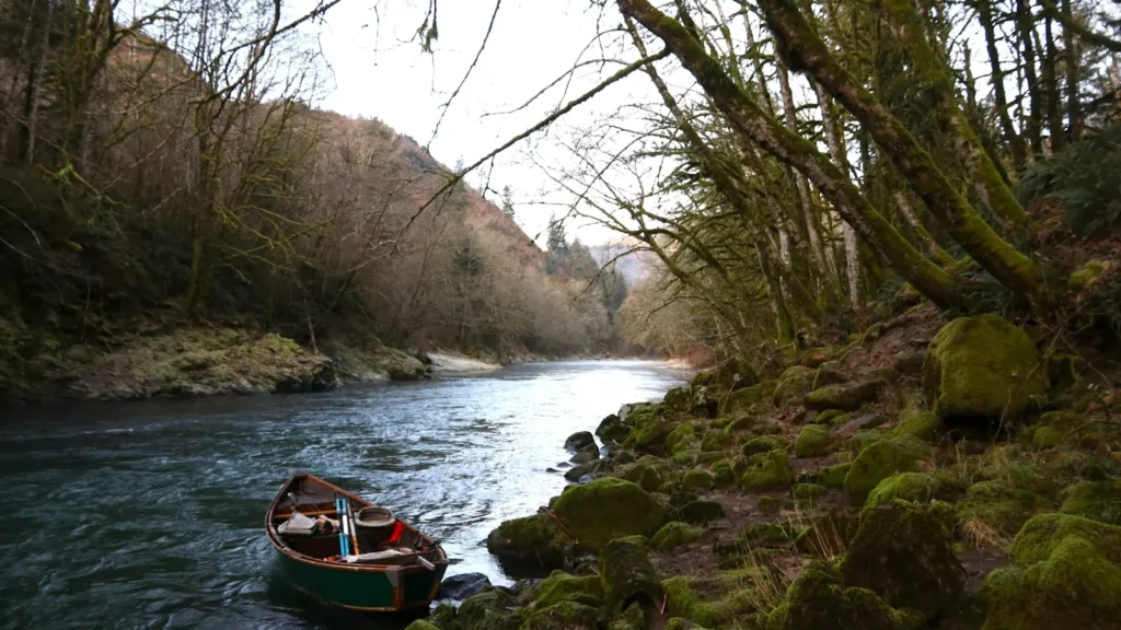
This water needs a real photo
The photo at the top of this page is not Umpqua River.
It is a regional stand-in, honestly captioned but generic — we will not put a name to a river we cannot prove. Send us a photograph you took here and it replaces the stand-in, with your credit on it.
Pioneer badgeUnclaimed
Add a photo of this water
Landscape, not fish — the water itself. Reviewed by hand before it appears. The first one published here earns the Pioneer badge.
Fished this water? Add a photo
Reviewed by hand before it appears. Pick the water, not the spot — we never publish exact locations.
Access
River Forks Park near Roseburg - the top of the mainstem where the North and South forks meet.
Umpqua Landing and Cleveland Rapids - upper mainstem ramps used for smallmouth floats.
Yellow Creek and James Wood landings - mid-river drift boat access along Highway 138.
Elkton boat ramp - the gauge site and the most-used launch on the middle river.
Scottsburg landing - the standard take-out at the bottom of the classic smallmouth float.
Reedsport and Winchester Bay - tidewater ramps for fall chinook and the estuary fishery.
Tyee and Bullock Bridge access - additional public ramps spread through the canyon reach.
Seasons
Spring: shad and spring chinook move through, flows drop steadily, and smallmouth begin turning on.
Summer: warm water and low flows make this the peak smallmouth season, with summer steelhead present.
Fall: fall chinook and coho enter the river and sea-run cutthroat are in the lower reaches.
Winter: high water and winter steelhead, with the bass fishing effectively shut down until spring.
From the water
No logged trips yet. Be the first to put this water on your map.
Log this water
Fished it or cleaned it? Log in or create a free account to log a trip with photos and earn the waterway badge.
Questions
What is the current flow on the Umpqua River?
As of Oct 24, 8:15 am, the USGS gauge UMPQUA RIVER NEAR ELKTON, OR reads 962 cfs, with water temperature 55.2 F. Conditions update every 15 minutes.
What species can you catch on the Umpqua River?
Anglers target American Shad, Chinook Salmon, Coastal Cutthroat Trout, Coho Salmon, Smallmouth Bass, Steelhead on the Umpqua River in Oregon.
Are there fishing guides on the Umpqua River?
GuidedFloats lists 3 guides and outfitters on the Umpqua River. Claimed profiles accept booking requests; unclaimed profiles are built from public records and link to the business.
Where can you access the Umpqua River?
River Forks Park near Roseburg - the top of the mainstem where the North and South forks meet. Umpqua Landing and Cleveland Rapids - upper mainstem ramps used for smallmouth floats. Yellow Creek and James Wood landings - mid-river drift boat access along Highway 138. Elkton boat ramp - the gauge site and the most-used launch on the middle river. Scottsburg landing - the standard take-out at the bottom of the classic smallmouth float. Reedsport and Winchester Bay - tidewater ramps for fall chinook and the estuary fishery. Tyee and Bullock Bridge access - additional public ramps spread through t...
When is the best time to fish the Umpqua River?
Spring: shad and spring chinook move through, flows drop steadily, and smallmouth begin turning on. Summer: warm water and low flows make this the peak smallmouth season, with summer steelhead present. Fall: fall chinook and coho enter the river and sea-run cutthroat are in the lower reaches. Winter: high water and winter steelhead, with the bass fishing effectively shut down until spring.
Where are the fishing regulations for the Umpqua River?
Regulations change by season and section. Read the current rules on the Oregon agency site: https://myodfw.com/fishing/regulations