Fishes Tuolumne River
Tailwater · Central Sierra Nevada foothills of California, running west from La Grange through Waterford and Modesto toward the San Joaquin confluence · California
Tuolumne River Fishing Guides
A managed Central Valley tailwater below La Grange Dam that carries both a resident rainbow fishery and the southernmost significant fall Chinook run in California.
Map of the Tuolumne River
15 numbered points: 2 access points, 4 campsites, 5 parks and conservation areas, 1 agency office, 1 hazard, 2 USGS gauges. Tap a marker for details. Reviewed Oct 23, 2026.
- Access / boat ramp (2)
- Campsite (4)
- Park / conservation area (5)
- Agency / conservation office (1)
- Dam / hazard (1)
- USGS gauge (2)
Map data © OpenStreetMap contributors. Points are curated from OpenStreetMap and state agency sources; confirm access and hours before you go.
Print it. Bag it. Bring it.Phones die, screens crack, and most of this water has no signal. Print this map, fold it into a zip-top bag or dry bag with your license, and you have a backup your electronics can’t give you. Every marker is numbered so you can say exactly where you are.
Open the printable mapAll 15 points on this map
| # | Point | Type | Lat, Lon | Notes |
|---|---|---|---|---|
| 1 | Lumsden Bridge Campground Stanislaus National Forest | Campsite | 37.84749, -120.03321 | Small riverside forest campground on Lumsden Road above the put-in. |
| 2 | South Fork Campground Stanislaus National Forest | Campsite | 37.83757, -120.04508 | Forest Service campground at the South Fork confluence, used by boaters staging for the canyon run. |
| 3 | Lumsden Campground Stanislaus National Forest | Campsite | 37.83841, -120.05113 | Riverside campground beside the Meral's Pool launch. |
| 4 | Meral's Pool Wild and Scenic put-in - permit required | Access / boat ramp | 37.83676, -120.05375 | The launch for the 29 km Wild and Scenic run to Ward's Ferry. Reached by the unpaved Lumsden Road; a Forest Service permit is required to launch. |
| 5 | Groveland Ranger District Office Stanislaus National Forest | Agency / conservation office | 37.82219, -120.09874 | District office for the Wild and Scenic reach, road conditions and launch permits. |
| 6 | La Grange Dam Head of the valley tailwater | Dam / hazard | 37.67215, -120.44438 | Diversion dam below Don Pedro. No passage; the tailwater fishery starts immediately below it. |
| 7 | USGS gauge - Tuolumne River below La Grange Dam Site 11289650 | USGS gauge | 37.66630, -120.44210 | The release gauge for the lower Tuolumne; everything downstream reads off this number. |
| 8 | La Grange Regional Park Stanislaus County, below the dam | Park / conservation area | 37.66521, -120.46075 | Day-use park and bank access on the first mile of the tailwater. |
| 9 | Turlock Lake Campground Turlock Lake SRA, California State Parks | Campsite | 37.63034, -120.58111 | State park campground set on the river below the lake, with a ranger station on site. |
| 10 | River Point Park Waterford riverfront | Park / conservation area | 37.63662, -120.74770 | Small city park with bank access at Waterford. |
| 11 | Fox Grove Park Stanislaus County river park | Park / conservation area | 37.62104, -120.84021 | Riverside county park at the Hughson reach, long used as a bank-fishing and shore-launch spot. |
| 12 | River Bluff Regional Park Ramp at Ceres | Access / boat ramp | 37.61605, -120.92784 | City of Ceres river park with a launch on the bank. |
| 13 | Tuolumne River Regional Park Modesto riverfront | Park / conservation area | 37.62180, -120.95676 | The long Modesto park strip along the river, with several bank-access points. |
| 14 | USGS gauge - Tuolumne River at Modesto Site 11290000 | USGS gauge | 37.62688, -120.98799 | Lower-river gauge at Modesto, useful for the last 25 km to the confluence. |
| 15 | Dos Rios State Park At the San Joaquin confluence | Park / conservation area | 37.60146, -121.16018 | California's newest state park, restored floodplain on the point where the Tuolumne meets the San Joaquin. |
Guides on the Tuolumne River
Claimed profiles take booking requests. Unclaimed profiles are built from public records so the river is never empty; the guide can claim or remove one any time.
Order on this page: premium and outfitter plans first (labelled Premium placement), then claimed free profiles, then unclaimed — one published price, no bidding for position. How placement works
About the Tuolumne River
The lower Tuolumne is a tailwater in the strict sense. Every drop that passes the gauge below La Grange Dam has already been through the storage and release system upstream, and the river a guide fishes is the river the water managers built that week. That makes it a very different proposition from the granite whitewater canyon of the same name higher in the Sierra. Down here the Tuolumne is a broad, gravel-bedded valley river running between cottonwood and willow through the almond and walnut country west of La Grange, and its character is set almost entirely by release schedule rather than by rainfall.
Two fisheries share the water. Resident rainbows hold in the cool, oxygenated riffles in the first several miles below the dam, where releases keep summer temperatures survivable when the valley air is over a hundred degrees. Below that, as the river warms downstream toward Waterford and Modesto, smallmouth and largemouth take over the structure and striped bass push up out of the San Joaquin on the spring high water. Overlaid on both is the run that gives the river its reputation: fall Chinook returning in October and November, the southernmost meaningful run of king salmon anywhere on the Pacific coast, and the reason the gravel restoration projects between La Grange and Waterford exist at all.
Guides work this water by drift boat and by jet sled depending on flow, and the flow is worth checking before every trip rather than trusting a seasonal average. A pulse flow released for salmon can double the river overnight; an irrigation drawdown can strand a launch that floated fine a week earlier. The gauge here reports both discharge and water temperature, which on a tailwater matters more than on a freestone river, because temperature is the number that tells you whether the trout reach is fishing or simply surviving.
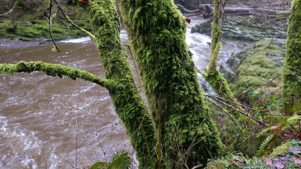
This water needs a real photo
The photo at the top of this page is not Tuolumne River.
It is a regional stand-in, honestly captioned but generic — we will not put a name to a river we cannot prove. Send us a photograph you took here and it replaces the stand-in, with your credit on it.
Pioneer badgeUnclaimed
Add a photo of this water
Landscape, not fish — the water itself. Reviewed by hand before it appears. The first one published here earns the Pioneer badge.
Fished this water? Add a photo
Reviewed by hand before it appears. Pick the water, not the spot — we never publish exact locations.
Access
La Grange Bridge on Highway 132 - the uppermost practical launch and the closest access to the cold-water trout reach.
Basso Bridge below La Grange - popular put-in for the upper drift and the first good gravel spawning water.
Turlock Lake State Recreation Area - developed park access with a ramp on the middle river.
Waterford river access at the Highway 132 crossing - the standard mid-river take-out and a common half-day pull.
Legion Park in Modesto - lower-river access below the Dry Creek confluence, warmwater and striper oriented.
Shiloh Road boat ramp near Grayson - the lowest ramp before the San Joaquin, used for jet sled trips.
Fox Grove Fishing Access near Hughson - county park with parking, a ramp and bank fishing on the lower river.
Seasons
Spring: irrigation releases climb, striped bass move up from the San Joaquin, and the trout reach fishes well on nymphs before the water warms.
Summer: high, cold releases keep the upper miles fishable while the lower river turns to a bass and catfish game in serious valley heat.
Fall: the season the river is known for, with Chinook entering from October and holding on the restored gravel through November.
Winter: low, clear and cold, the quietest months for pressure and the best sight-fishing to resident rainbows in the top few miles.
From the water
No logged trips yet. Be the first to put this water on your map.
Log this water
Fished it or cleaned it? Log in or create a free account to log a trip with photos and earn the waterway badge.
Questions
What is the current flow on the Tuolumne River?
As of Oct 24, 5:15 am, the USGS gauge TUOLUMNE R BL LAGRANGE DAM NR LAGRANGE CA reads 708 cfs, with water temperature 53.4 F. Conditions update every 15 minutes.
What species can you catch on the Tuolumne River?
Anglers target Channel Catfish, Chinook Salmon, Largemouth Bass, Rainbow Trout, Smallmouth Bass, Steelhead, Striped Bass on the Tuolumne River in California.
Are there fishing guides on the Tuolumne River?
GuidedFloats lists 2 guides and outfitters on the Tuolumne River. Claimed profiles accept booking requests; unclaimed profiles are built from public records and link to the business.
Where can you access the Tuolumne River?
La Grange Bridge on Highway 132 - the uppermost practical launch and the closest access to the cold-water trout reach. Basso Bridge below La Grange - popular put-in for the upper drift and the first good gravel spawning water. Turlock Lake State Recreation Area - developed park access with a ramp on the middle river. Waterford river access at the Highway 132 crossing - the standard mid-river take-out and a common half-day pull. Legion Park in Modesto - lower-river access below the Dry Creek confluence, warmwater and striper oriented. Shiloh Road boat ramp near Grayson - the lowest ramp before...
When is the best time to fish the Tuolumne River?
Spring: irrigation releases climb, striped bass move up from the San Joaquin, and the trout reach fishes well on nymphs before the water warms. Summer: high, cold releases keep the upper miles fishable while the lower river turns to a bass and catfish game in serious valley heat. Fall: the season the river is known for, with Chinook entering from October and holding on the restored gravel through November. Winter: low, clear and cold, the quietest months for pressure and the best sight-fishing to resident rainbows in the top few miles.
Where are the fishing regulations for the Tuolumne River?
Regulations change by season and section. Read the current rules on the California agency site: https://wildlife.ca.gov/Fishing/Inland/Regulations