Fishes Little Tennessee River
River · Upper Little Tennessee valley in Macon County, western North Carolina, from the Georgia line through Prentiss and Franklin · North Carolina
Little Tennessee River Fishing Guides
The upper Little Tennessee above Franklin is a wadable and floatable smallmouth river with trout in the cold tributaries and a strong conservation history.
Map of the Little Tennessee River
9 numbered points: 2 access points, 1 campsite, 1 bait & fly shop, 1 agency office, 3 hazards, 1 USGS gauge. Tap a marker for details. Reviewed Sep 25, 2026.
- Access / boat ramp (2)
- Campsite (1)
- Bait, tackle & fly shop (1)
- Agency / conservation office (1)
- Dam / hazard (3)
- USGS gauge (1)
Map data © OpenStreetMap contributors. Points are curated from OpenStreetMap and state agency sources; confirm access and hours before you go.
Print it. Bag it. Bring it.Phones die, screens crack, and most of this water has no signal. Print this map, fold it into a zip-top bag or dry bag with your license, and you have a backup your electronics can’t give you. Every marker is numbered so you can say exactly where you are.
Open the printable mapAll 9 points on this map
| # | Point | Type | Lat, Lon | Notes |
|---|---|---|---|---|
| 1 | Unnamed weir Low weir — scout and portage | Dam / hazard | 35.04252, -83.38418 | Low weir across the river above Prentiss. Unnamed in OpenStreetMap; treat any low-head structure as a portage. |
| 2 | Riverside Access Macon County | Access / boat ramp | 35.09087, -83.38176 | Developed bank access on the upper river below the Georgia line. |
| 3 | USGS 03500000 — Little Tennessee River near Prentiss USGS streamflow gauge · the site's reference gauge | USGS gauge | 35.15000, -83.37972 | The gauge GuidedFloats reports for this river, above Franklin. Reproduces the roster coordinate exactly on the NWIS site service. |
| 4 | Nantahala Ranger District Office USFS · Nantahala National Forest | Agency / conservation office | 35.16939, -83.40687 | Forest Service district office in Franklin; the agency contact for the national-forest reaches and the Needmore tract road access. |
| 5 | Fish Tales Outfitters & Guide Service 29 E Main St, Franklin · fly shop & tackle | Bait, tackle & fly shop | 35.18210, -83.38070 | Franklin fly shop and guide service, two blocks off the river greenway. Placed from the street address, not an OSM shop node. |
| 6 | Porter Bend Dam Dam — portage | Dam / hazard | 35.21939, -83.37106 | Dam at Porter Bend below Franklin. Scout and portage. |
| 7 | Rose Creek Campground Private campground near the river | Campsite | 35.23778, -83.40519 | Campground near the Rose Creek confluence, within walking distance of the river. |
| 8 | Tanasi Landing Place Little Tennessee River Greenway | Access / boat ramp | 35.23889, -83.39772 | Landing and interpretive site on the Little Tennessee, marking the Cherokee town of Tanasi. |
| 9 | Pyle Dam Dam — portage | Dam / hazard | 35.26727, -83.42142 | Dam on the reach below Franklin heading toward the Needmore tract. Scout and portage. |
Guides on the Little Tennessee River
Claimed profiles take booking requests. Unclaimed profiles are built from public records so the river is never empty; the guide can claim or remove one any time.
Order on this page: premium and outfitter plans first (labelled Premium placement), then claimed free profiles, then unclaimed — one published price, no bidding for position. How placement works
About the Little Tennessee River
Most anglers know the Little Tennessee for what happens downstream, in the tailwaters and reservoirs of the Tennessee Valley system. The upper river in North Carolina is a different animal and a better-kept secret. Above Franklin the Little Tennessee runs out of the Georgia mountains as a medium-sized valley river with long shoals, boulder gardens and deep bends, bordered by farmland and by an unusual amount of conserved riverfront thanks to decades of work by local land trusts and the greenway along the river through Macon County.
The headline fish is smallmouth bass. The upper Little Tennessee grows them well, and the mix of shoal habitat and deep holding water makes it a genuine float fishery in a part of the state where most rivers are too small to float. Rock bass and redeye bass fill in the shoal water, and largemouth turn up in the slower bends. Trout enter the picture through the cold tributaries, and the river itself holds rainbows and browns in its upper miles and near the mouths of the feeder streams, particularly during the cooler half of the year.
This is also one of the most biologically significant rivers in the southern Appalachians, home to rare darters, mussels and the spotfin chub, which is why so much effort has gone into buffering its banks and restoring its gravel. Anglers should expect a working agricultural valley rather than wilderness, and should treat access with the care that mixed public and private frontage requires. The gauge here reports discharge only, so plan around flow rather than temperature, and be aware that the river browns up quickly after rain in the Georgia headwaters and takes a day or two to clear.
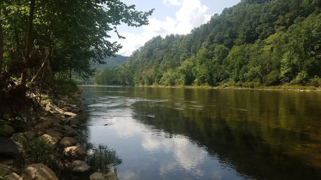
This water needs a real photo
The photo at the top of this page is not Little Tennessee River.
It is a regional stand-in, honestly captioned but generic — we will not put a name to a river we cannot prove. Send us a photograph you took here and it replaces the stand-in, with your credit on it.
Pioneer badgeUnclaimed
Add a photo of this water
Landscape, not fish — the water itself. Reviewed by hand before it appears. The first one published here earns the Pioneer badge.
Fished this water? Add a photo
Reviewed by hand before it appears. Pick the water, not the spot — we never publish exact locations.
Access
Rock Hill Road river access south of Franklin - established public put-in on the upper river.
Little Tennessee River Greenway in Franklin - long stretch of public bank access with parking.
Prentiss bridge crossing near the gauge - mid-valley access and a common wading spot.
Tessentee Bottomland Preserve - conserved riverfront access on the upper river.
Lake Emory access below Franklin - the lower end of the free-flowing upper river.
Needmore Tract river access - large conserved corridor with several informal launches downstream.
US 441 crossings north and south of Franklin - convenient bridge access for short wades.
Seasons
Spring: high, colored water early, then a strong smallmouth prespawn as the river drops into shape in May.
Summer: the prime float months, with topwater smallmouth fishing at dawn and dusk on the shoals.
Fall: falling water and feeding smallmouth, plus trout moving in the cooling tributaries.
Winter: cold and often high, mostly a deep, slow presentation game for the few anglers who fish it.
From the water
No logged trips yet. Be the first to put this water on your map.
Log this water
Fished it or cleaned it? Log in or create a free account to log a trip with photos and earn the waterway badge.
Questions
What is the current flow on the Little Tennessee River?
As of Nov 2, 7:30 am, the USGS gauge LITTLE TENNESSEE RIVER NEAR PRENTISS, NC reads 98 cfs. Conditions update every 15 minutes.
What species can you catch on the Little Tennessee River?
Anglers target Brown Trout, Largemouth Bass, Rainbow Trout, Redeye Bass, Rock Bass, Smallmouth Bass on the Little Tennessee River in North Carolina.
Are there fishing guides on the Little Tennessee River?
GuidedFloats lists 1 guide and outfitters on the Little Tennessee River. Claimed profiles accept booking requests; unclaimed profiles are built from public records and link to the business.
Where can you access the Little Tennessee River?
Rock Hill Road river access south of Franklin - established public put-in on the upper river. Little Tennessee River Greenway in Franklin - long stretch of public bank access with parking. Prentiss bridge crossing near the gauge - mid-valley access and a common wading spot. Tessentee Bottomland Preserve - conserved riverfront access on the upper river. Lake Emory access below Franklin - the lower end of the free-flowing upper river. Needmore Tract river access - large conserved corridor with several informal launches downstream. US 441 crossings north and south of Franklin - convenient bridge...
When is the best time to fish the Little Tennessee River?
Spring: high, colored water early, then a strong smallmouth prespawn as the river drops into shape in May. Summer: the prime float months, with topwater smallmouth fishing at dawn and dusk on the shoals. Fall: falling water and feeding smallmouth, plus trout moving in the cooling tributaries. Winter: cold and often high, mostly a deep, slow presentation game for the few anglers who fish it.
Where are the fishing regulations for the Little Tennessee River?
Regulations change by season and section. Read the current rules on the North Carolina agency site: https://www.ncwildlife.gov/fishing/regulations