Fishes Big Lost River
River · Custer County in the Lost River valley of central Idaho, running from the Copper Basin and Wildhorse headwaters past Chilly and Mackay toward the Snake River plain · Idaho
Big Lost River Fishing Guides
A high desert wild trout river under Idaho's tallest peaks, gauged at Howell Ranch on the free-flowing upper reach above Mackay Reservoir.
Map of the Big Lost River
25 numbered points: 7 access points, 5 campsites, 7 bridges, 3 parks and conservation areas, 2 hazards, 1 USGS gauge. Tap a marker for details. Reviewed Sep 16, 2026.
- Access / boat ramp (7)
- Campsite (5)
- Bridge crossing (7)
- Park / conservation area (3)
- Dam / hazard (2)
- USGS gauge (1)
Map data © OpenStreetMap contributors. Points are curated from OpenStreetMap and state agency sources; confirm access and hours before you go.
Print it. Bag it. Bring it.Phones die, screens crack, and most of this water has no signal. Print this map, fold it into a zip-top bag or dry bag with your license, and you have a backup your electronics can’t give you. Every marker is numbered so you can say exactly where you are.
Open the printable mapAll 25 points on this map
| # | Point | Type | Lat, Lon | Notes |
|---|---|---|---|---|
| 1 | Bartlett Point Road Bridge County road crossing at Howell Ranch | Bridge crossing | 43.99710, -114.02214 | |
| 2 | USGS gauge — Big Lost River at Howell Ranch near Chilly Station 13120500 | USGS gauge | 43.99833, -114.02111 | |
| 3 | Big Lost River — Upper IDFG access site · state endowment land | Access / boat ramp | 44.01782, -113.98930 | |
| 4 | Old Chilly Road Bridge County road crossing | Bridge crossing | 44.05939, -113.87791 | |
| 5 | Mackay Reservoir — Upper IDFG access site | Access / boat ramp | 43.96791, -113.71068 | Shoreline access at the head of Mackay Reservoir. |
| 6 | Mackay Reservoir — Lower IDFG access site | Access / boat ramp | 43.96346, -113.70271 | |
| 7 | Joseph T. Fallini Campground BLM Challis Field Office | Campsite | 43.96137, -113.67952 | BLM campground on Mackay Reservoir; the agency also lists it as the Mackay Reservoir Recreation Site. |
| 8 | Mackay Dam Irrigation dam | Dam / hazard | 43.95178, -113.67261 | |
| 9 | Big Lost River — Lower IDFG access site | Access / boat ramp | 43.94085, -113.65016 | The tailwater access below Mackay Dam. |
| 10 | City of Mackay Tourist Park City of Mackay | Park / conservation area | 43.91177, -113.62207 | |
| 11 | River Park RV Park Private · Mackay | Campsite | 43.90995, -113.61988 | |
| 12 | Marinac Fishing Access IDFG access site · Smelter Avenue, Mackay | Access / boat ramp | 43.90269, -113.61692 | In-town access at the Smelter Avenue crossing. |
| 13 | White Knob Motel & RV Park Private · below Mackay | Campsite | 43.89392, -113.57737 | |
| 14 | 4080 West Bridge County road crossing | Bridge crossing | 43.87045, -113.51248 | |
| 15 | Stennett IDFG access site | Access / boat ramp | 43.85937, -113.47132 | |
| 16 | Moose Crossing RV Park Private | Campsite | 43.86177, -113.45273 | |
| 17 | Rothwell IDFG access site | Access / boat ramp | 43.84707, -113.44237 | The lowest agency access on the Big Lost; below here the river runs through private farmland. |
| 18 | Moore Diversion Irrigation diversion dam | Dam / hazard | 43.78602, -113.35904 | |
| 19 | 3175 North Bridge County road crossing above Moore | Bridge crossing | 43.73624, -113.35855 | |
| 20 | Moore City Park City of Moore | Park / conservation area | 43.73384, -113.36681 | OSM spells the name with a double space; corrected here. |
| 21 | Aikele Road Bridge County road crossing above Arco | Bridge crossing | 43.63823, -113.32654 | |
| 22 | Bottolfsen Park City of Arco | Park / conservation area | 43.63227, -113.30431 | |
| 23 | Mountain View RV Park Private · Arco | Campsite | 43.62637, -113.30538 | |
| 24 | 2400 North Bridge County road crossing at Arco | Bridge crossing | 43.62395, -113.31211 | |
| 25 | Idaho Medal of Honor Highway Bridge US 20/26 at Arco | Bridge crossing | 43.61545, -113.31005 | The last crossing on this sheet. |
Guides on the Big Lost River
Claimed profiles take booking requests. Unclaimed profiles are built from public records so the river is never empty; the guide can claim or remove one any time.
About the Big Lost River
The Big Lost River runs down a wide sagebrush valley between the Pioneer Mountains and the Lost River Range, under Borah Peak and the highest ground in Idaho. It gets its name honestly: below Arco the river sinks into the lava of the Snake River plain and disappears underground, feeding the aquifer rather than ever reaching a sea. The reach that matters to anglers is the upper river, above Mackay Reservoir, where the Wildhorse and Copper Basin headwaters come together and run through a mix of private ranch and public ground.
This gauge sits at Howell Ranch near Chilly, on that free-flowing upper reach. It is a genuinely wild trout fishery with no stocking in the upper river, and the rainbows there are well conditioned, selective and larger than the modest size of the water suggests. Brook trout occupy the headwaters and the tributaries, brown trout appear lower down, and mountain whitefish are abundant and useful in winter. The classic reach below Mackay Dam is a separate tailwater fishery with its own character and its own gauge, and it should not be confused with the water this station reads.
The catch is irrigation. The Big Lost valley is heavily diverted for agriculture, and flows in the middle and lower river can drop dramatically through July and August as headgates open. That makes the discharge number here more operationally important than on most trout rivers – it is the difference between a good wading day and a river reduced to a trickle between pools. Much of the upper valley is private ranch land, so anglers should identify legal access carefully and stay on the public reaches. The gauge reports discharge and stage with no temperature series attached.
This water needs a real photo
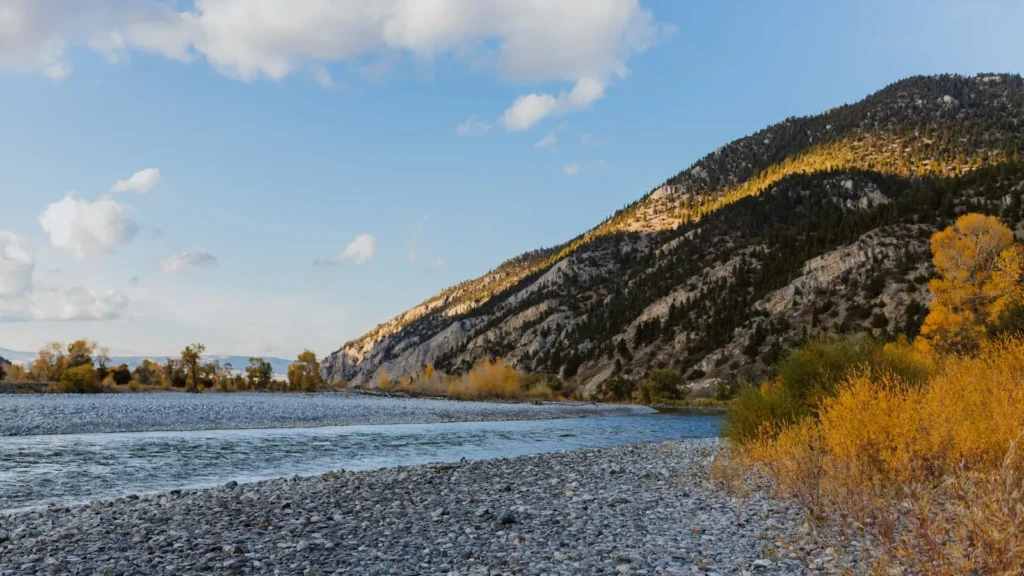
The photo at the top of this page is not Big Lost River.
It is a regional stand-in, honestly captioned but generic — we will not put a name to a river we cannot prove. Send us a photograph you took here and it replaces the stand-in, with your credit on it.
Pioneer badgeUnclaimed
Add a photo of this water
Landscape, not fish — the water itself. Reviewed by hand before it appears. The first one published here earns the Pioneer badge.
Fished this water? Add a photo
Reviewed by hand before it appears. Pick the water, not the spot — we never publish exact locations.
Access
Howell Ranch reach near Chilly - the public water at the gauge itself, reached from the Trail Creek Road.
Wildhorse Creek Road - Forest Service access to the upper headwater forks.
Copper Basin Road - public access to the other main headwater arm above the confluence.
Mackay Reservoir inlet - access where the upper river enters the reservoir.
Highway 93 bridges between Chilly and Mackay - limited roadside access, much of it bordered by private ranch.
Mackay city park and the reach below town - lower-valley bank access.
Bureau of Land Management ground in the Lost River valley - scattered public reaches worth mapping in advance.
Seasons
Spring: snowmelt from the Pioneers and the Lost River Range keeps the river high and off-colour into June.
Summer: the main season, with terrestrial fishing at its best and irrigation withdrawals cutting flows through August.
Fall: flows recover as the headgates close, and the fishing is at its best in cool weather with almost no pressure.
Winter: cold, low and largely inaccessible, with deep snow closing much of the valley road network.
From the water
No logged trips yet. Be the first to put this water on your map.
Log this water
Fished it or cleaned it? Log in or create a free account to log a trip with photos and earn the waterway badge.
Questions
What is the current flow on the Big Lost River?
As of Sep 17, 6:00 am, the USGS gauge BIG LOST RIVER AT HOWELL RANCH NR CHILLY ID reads 95 cfs. Conditions update every 15 minutes.
What species can you catch on the Big Lost River?
Anglers target Brook Trout, Brown Trout, Mountain Whitefish, Rainbow Trout on the Big Lost River in Idaho.
Are there fishing guides on the Big Lost River?
GuidedFloats lists 4 guides and outfitters on the Big Lost River. Claimed profiles accept booking requests; unclaimed profiles are built from public records and link to the business.
Where can you access the Big Lost River?
Howell Ranch reach near Chilly - the public water at the gauge itself, reached from the Trail Creek Road. Wildhorse Creek Road - Forest Service access to the upper headwater forks. Copper Basin Road - public access to the other main headwater arm above the confluence. Mackay Reservoir inlet - access where the upper river enters the reservoir. Highway 93 bridges between Chilly and Mackay - limited roadside access, much of it bordered by private ranch. Mackay city park and the reach below town - lower-valley bank access. Bureau of Land Management ground in the Lost River valley - scattered publi...
When is the best time to fish the Big Lost River?
Spring: snowmelt from the Pioneers and the Lost River Range keeps the river high and off-colour into June. Summer: the main season, with terrestrial fishing at its best and irrigation withdrawals cutting flows through August. Fall: flows recover as the headgates close, and the fishing is at its best in cool weather with almost no pressure. Winter: cold, low and largely inaccessible, with deep snow closing much of the valley road network.
Where are the fishing regulations for the Big Lost River?
Regulations change by season and section. Read the current rules on the Idaho agency site: https://idfg.idaho.gov/rules/fish