Fishes Cache la Poudre River
River · Northern Colorado in Larimer and Weld counties, running east from Rocky Mountain National Park down the Poudre Canyon past Fort Collins and Greeley to the South Platte River · Colorado
Cache la Poudre River Fishing Guides
Colorado's only federally designated Wild and Scenic river, a fast pocket-water canyon stream forty miles of which runs alongside a highway an hour from Denver.
Map of the Cache la Poudre River
30 numbered points: 3 access points, 12 campsites, 1 bait & fly shop, 8 parks and conservation areas, 1 agency office, 4 hazards, 1 USGS gauge. Tap a marker for details. Reviewed Sep 8, 2026.
- Access / boat ramp (3)
- Campsite (12)
- Bait, tackle & fly shop (1)
- Park / conservation area (8)
- Agency / conservation office (1)
- Dam / hazard (4)
- USGS gauge (1)
Map data © OpenStreetMap contributors. Points are curated from OpenStreetMap and state agency sources; confirm access and hours before you go.
Print it. Bag it. Bring it.Phones die, screens crack, and most of this water has no signal. Print this map, fold it into a zip-top bag or dry bag with your license, and you have a backup your electronics can’t give you. Every marker is numbered so you can say exactly where you are.
Open the printable mapAll 30 points on this map
| # | Point | Type | Lat, Lon | Notes |
|---|---|---|---|---|
| 1 | Big South Camping Ground Roosevelt National Forest | Campsite | 40.63257, -105.80781 | Top of the canyon, at the Big South trailhead on CO 14. |
| 2 | Sleeping Elephant Campground Roosevelt National Forest, CO 14 | Campsite | 40.68266, -105.77340 | |
| 3 | Big South Falls Waterfall in the upper Poudre canyon | Dam / hazard | 40.53594, -105.75355 | Not a boatable drop; the upper canyon above it is wade water. |
| 4 | Hagues Creek Campground Roosevelt National Forest | Campsite | 40.51743, -105.74145 | |
| 5 | Desolation Campground Roosevelt National Forest | Campsite | 40.51767, -105.73519 | |
| 6 | Glen Echo Resort Private resort and campground, CO 14 | Campsite | 40.69912, -105.58250 | |
| 7 | Kelly Flats Campground Roosevelt National Forest, CO 14 | Campsite | 40.68219, -105.48367 | |
| 8 | Mountain Park Recreation Area Roosevelt National Forest, CO 14 | Campsite | 40.68182, -105.46716 | Large riverside campground and day-use area in the canyon. |
| 9 | Dutch George Flats Campground Roosevelt National Forest, CO 14 | Campsite | 40.69581, -105.44595 | |
| 10 | Narrows Campground Roosevelt National Forest, CO 14 | Campsite | 40.68973, -105.43228 | In the Narrows, the tightest water in the canyon. |
| 11 | Stove Prairie Campground Roosevelt National Forest, CO 14 | Campsite | 40.68371, -105.39700 | |
| 12 | Stove Prairie Landing Roosevelt National Forest, CO 14 | Access / boat ramp | 40.68248, -105.38916 | Canyon river access at the Stove Prairie Road junction; a standard whitewater put-in. |
| 13 | Ansel Watrous Campground Roosevelt National Forest, CO 14 | Campsite | 40.69018, -105.34779 | |
| 14 | Gateway Natural Area City of Fort Collins | Park / conservation area | 40.70074, -105.24468 | Day-use natural area at the mouth of the canyon, where the North Fork comes in. |
| 15 | Picnic Rock River Access Larimer County | Access / boat ramp | 40.67063, -105.23088 | Take-out at the bottom of the canyon run below Gateway. |
| 16 | Watson Lake State Wildlife Area Colorado Parks and Wildlife, Bellvue | Park / conservation area | 40.63584, -105.17119 | CPW wildlife area with river frontage below the canyon. |
| 17 | Jackson Ditch diversion Irrigation headgate | Dam / hazard | 40.63268, -105.16861 | A working diversion on the plains reach; give it room. |
| 18 | Lions' Open Space Larimer County | Park / conservation area | 40.62327, -105.14086 | |
| 19 | Arthur's Ditch diversion Irrigation headgate, Fort Collins | Dam / hazard | 40.61167, -105.11294 | |
| 20 | Fort Collins / Lakeside KOA Holiday Private campground | Campsite | 40.61525, -105.10733 | |
| 21 | Larimer & Weld County Canal diversion Irrigation headgate, Fort Collins | Dam / hazard | 40.61205, -105.10681 | |
| 22 | North Shields Ponds Natural Area City of Fort Collins | Park / conservation area | 40.60815, -105.10092 | |
| 23 | Shields Street River Access City of Fort Collins | Access / boat ramp | 40.60403, -105.09601 | Town access on the Poudre River Trail. |
| 24 | McMurry Natural Area City of Fort Collins | Park / conservation area | 40.60189, -105.09034 | |
| 25 | Canyon Lakes Ranger District office Arapaho and Roosevelt National Forests, Fort Collins | Agency / conservation office | 40.55914, -105.08601 | The ranger district for the whole Poudre canyon; campground and fire status here. |
| 26 | Salyer Natural Area City of Fort Collins | Park / conservation area | 40.60042, -105.08401 | |
| 27 | Lee Martinez Park City of Fort Collins | Park / conservation area | 40.59650, -105.08184 | The main town park on the Poudre, on the Poudre River Trail. |
| 28 | Legacy Park City of Fort Collins | Park / conservation area | 40.59935, -105.08088 | |
| 29 | St. Peter's Fly Shop Fly shop, Old Town Fort Collins | Bait, tackle & fly shop | 40.58537, -105.07518 | Placed from its street address at 202 Remington Street, not from a mapped storefront on the water. |
| 30 | USGS 06752260 - Cache la Poudre River at Fort Collins USGS streamgage | USGS gauge | 40.58808, -105.06922 | Flow reference at the bottom of the run; canyon flows upstream are lower. |
Guides on the Cache la Poudre River
Claimed profiles take booking requests. Unclaimed profiles are built from public records so the river is never empty; the guide can claim or remove one any time.
About the Cache la Poudre River
The Poudre is the most accessible serious trout canyon in northern Colorado, and it is the only river in the state carrying a federal Wild and Scenic designation. It rises in Rocky Mountain National Park, gathers the Laramie River diversion and a string of high tributaries, and then falls east through forty miles of granite canyon along Highway 14 before reaching the plains at Fort Collins. For most of that canyon an angler can park on the shoulder and be fishing in two minutes.
It is pocket water, and it fishes like it. The river is steep, boulder-strewn and broken into short holding lies rather than long runs, so the game is short casts, high sticking and constant movement. Browns dominate the lower and middle canyon, rainbows and cuttbows are common through the middle reaches, and the upper river above Rustic holds brookies and cutthroat in smaller water. Fish average modest sizes but they are wild, willing and numerous. There is a designated Wild Trout water in the upper canyon with restrictive tackle rules and a catch-and-release section above Rustic worth seeking out.
Two things bear on planning. The High Park and Cameron Peak fires burned enormous areas of this watershed in 2012 and 2020, and the river still runs black with ash and debris after hard summer thunderstorms over the burn scars – a clear morning can become an unfishable afternoon within an hour. And this gauge sits down at Fort Collins on the plains rather than in the canyon, reporting discharge and stage but no water temperature, so it describes the accumulated flow leaving the mountains rather than conditions at any particular canyon pull-off. Treat it as a trend line for the whole drainage rather than a reading for the water in front of you.
This water needs a real photo
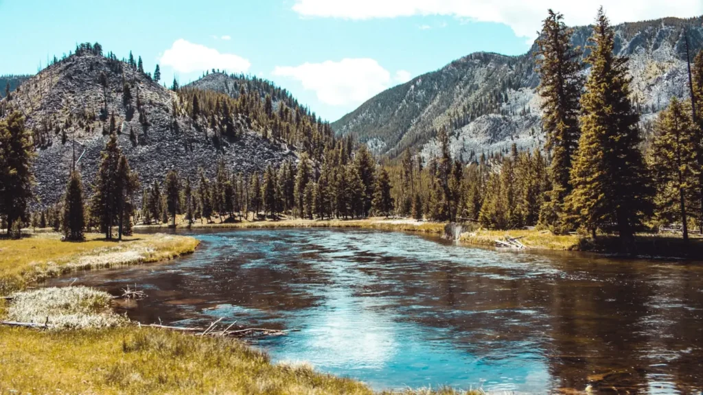
The photo at the top of this page is not Cache la Poudre River.
It is a regional stand-in, honestly captioned but generic — we will not put a name to a river we cannot prove. Send us a photograph you took here and it replaces the stand-in, with your credit on it.
Pioneer badgeUnclaimed
Add a photo of this water
Landscape, not fish — the water itself. Reviewed by hand before it appears. The first one published here earns the Pioneer badge.
Fished this water? Add a photo
Reviewed by hand before it appears. Pick the water, not the spot — we never publish exact locations.
Access
Highway 14 canyon pull-offs - continuous roadside access along forty miles of pocket water.
Poudre Park and the Mishawaka reach - popular lower-canyon walk-in water.
Rustic and the catch-and-release section - restrictive-tackle water in the upper canyon.
Big Bend and Kelly Flats campgrounds - Forest Service access with parking.
Stove Prairie Landing - a well-marked mid-canyon access point.
Picnic Rock and the canyon mouth - the lowest canyon water before town.
Fort Collins Poudre River Trail - urban bank access on the plains reach this gauge reads.
Seasons
Spring: snowmelt from late May into early July makes the canyon high, cold and largely unfishable.
Summer: prime pocket-water season, with attractor dries working well and burn-scar mud a real risk after storms.
Fall: low clear water, aggressive brown trout and the most pleasant canyon fishing of the year.
Winter: ice in the upper canyon, with the lower reaches near town open on warm afternoons.
From the water
No logged trips yet. Be the first to put this water on your map.
Log this water
Fished it or cleaned it? Log in or create a free account to log a trip with photos and earn the waterway badge.
Questions
What is the current flow on the Cache la Poudre River?
As of Sep 17, 6:15 am, the USGS gauge CACHE LA POUDRE RIVER AT FORT COLLINS, CO reads 188 cfs. Conditions update every 15 minutes.
What species can you catch on the Cache la Poudre River?
Anglers target Brook Trout, Brown Trout, Cuttbow, Cutthroat Trout, Rainbow Trout on the Cache la Poudre River in Colorado.
Are there fishing guides on the Cache la Poudre River?
GuidedFloats lists 2 guides and outfitters on the Cache la Poudre River. Claimed profiles accept booking requests; unclaimed profiles are built from public records and link to the business.
Where can you access the Cache la Poudre River?
Highway 14 canyon pull-offs - continuous roadside access along forty miles of pocket water. Poudre Park and the Mishawaka reach - popular lower-canyon walk-in water. Rustic and the catch-and-release section - restrictive-tackle water in the upper canyon. Big Bend and Kelly Flats campgrounds - Forest Service access with parking. Stove Prairie Landing - a well-marked mid-canyon access point. Picnic Rock and the canyon mouth - the lowest canyon water before town. Fort Collins Poudre River Trail - urban bank access on the plains reach this gauge reads.
When is the best time to fish the Cache la Poudre River?
Spring: snowmelt from late May into early July makes the canyon high, cold and largely unfishable. Summer: prime pocket-water season, with attractor dries working well and burn-scar mud a real risk after storms. Fall: low clear water, aggressive brown trout and the most pleasant canyon fishing of the year. Winter: ice in the upper canyon, with the lower reaches near town open on warm afternoons.
Where are the fishing regulations for the Cache la Poudre River?
Regulations change by season and section. Read the current rules on the Colorado agency site: https://cpw.state.co.us/rules-and-regulations