Fishes Yampa River
River · Northwestern Colorado in Routt and Moffat counties, running west from the Flat Tops through Steamboat Springs and Craig toward Dinosaur National Monument and the Green River · Colorado
Yampa River Fishing Guides
Colorado's last major free-flowing river, with a walkable tailwater-quality trout reach through downtown Steamboat Springs and a long wild canyon float below Craig.
Map of the Yampa River
19 numbered points: 4 campsites, 1 bait & fly shop, 10 parks and conservation areas, 1 agency office, 1 hazard, 1 spring, 1 USGS gauge. Tap a marker for details. Reviewed Sep 8, 2026.
- Campsite (4)
- Bait, tackle & fly shop (1)
- Park / conservation area (10)
- Agency / conservation office (1)
- Dam / hazard (1)
- Spring (1)
- USGS gauge (1)
Map data © OpenStreetMap contributors. Points are curated from OpenStreetMap and state agency sources; confirm access and hours before you go.
Print it. Bag it. Bring it.Phones die, screens crack, and most of this water has no signal. Print this map, fold it into a zip-top bag or dry bag with your license, and you have a backup your electronics can’t give you. Every marker is numbered so you can say exactly where you are.
Open the printable mapAll 19 points on this map
| # | Point | Type | Lat, Lon | Notes |
|---|---|---|---|---|
| 1 | Lake Catamount Dam Private dam above Steamboat Springs | Dam / hazard | 40.36502, -106.80040 | Head of the town reach. The tailwater below the dam is the wade and float water through Steamboat Springs. |
| 2 | River Creek Park City of Steamboat Springs | Park / conservation area | 40.45167, -106.81821 | Riverside park on the south end of town, on the Yampa River Core Trail. |
| 3 | Ski Town Park City of Steamboat Springs | Park / conservation area | 40.45487, -106.81457 | River-left park off Mount Werner Circle, on the Core Trail. |
| 4 | Rotary Park City of Steamboat Springs | Park / conservation area | 40.45693, -106.82139 | Core Trail park with river frontage; a common wading and tubing entry. |
| 5 | Fetcher Park City of Steamboat Springs | Park / conservation area | 40.46283, -106.82890 | River park below Rotary Park on the Core Trail. |
| 6 | Memorial Park City of Steamboat Springs | Park / conservation area | 40.48423, -106.82612 | Park at the downtown bridge; the D-Hole play wave is on this stretch. |
| 7 | USGS 09239500 - Yampa River at Steamboat Springs USGS streamgage | USGS gauge | 40.48299, -106.83243 | The flow reference for the town reach. Check it before you plan a float or a wade. |
| 8 | Steamboat Flyfisher Fly shop, downtown Steamboat Springs | Bait, tackle & fly shop | 40.48375, -106.83256 | On Lincoln Avenue a block off the river. |
| 9 | Ski Town Lions Park City of Steamboat Springs | Park / conservation area | 40.48384, -106.83322 | |
| 10 | Eagle Scout Park City of Steamboat Springs | Park / conservation area | 40.48478, -106.83376 | Small riverside park on the Core Trail. |
| 11 | Little Toots Park City of Steamboat Springs | Park / conservation area | 40.48818, -106.83984 | |
| 12 | Sulphur Spring Steamboat Springs geothermal spring | Spring | 40.48961, -106.84169 | One of the mineral springs the town is named for, on the river bank. |
| 13 | River Queen Park City of Steamboat Springs | Park / conservation area | 40.49037, -106.84197 | Last town park on the Core Trail before the river leaves Steamboat. |
| 14 | Steamboat Campground Private campground west of town | Campsite | 40.50501, -106.87729 | |
| 15 | Steamboat Springs KOA Private campground on US 40 | Campsite | 40.50451, -106.87763 | |
| 16 | Eagle Soaring RV Park Private RV park near Milner | Campsite | 40.49380, -106.95332 | |
| 17 | KOA Kampground Private campground east of Craig | Campsite | 40.51000, -107.51337 | |
| 18 | Bureau of Land Management office, Craig BLM, Craig | Agency / conservation office | 40.51405, -107.53160 | Public-lands office for the lower Yampa; check current river and access status here. |
| 19 | Loudy-Simpson Recreation Area Moffat County, Craig | Park / conservation area | 40.49616, -107.56343 | County recreation area on the Yampa at the south edge of Craig. |
Guides on the Yampa River
Claimed profiles take booking requests. Unclaimed profiles are built from public records so the river is never empty; the guide can claim or remove one any time.
About the Yampa River
The Yampa is the largest essentially free-flowing river left in Colorado, and that single fact shapes everything about fishing it. There is no big dam smoothing the hydrograph, so the river runs a natural cycle: enormous spring runoff out of the Flat Tops, a long clear productive summer, and low cold winter flows. It is a river that rewards anglers who fish it at the right moment and punishes those who show up on the calendar.
The best-known water runs through Steamboat Springs itself, where several miles of the river inside town are managed as quality water with restrictive tackle rules. It is genuinely good fishing in an unlikely place – rainbows, browns and cuttbows in clean riffle-and-run water that a wading angler can cover on foot between coffee shops. Above town the river through the Stagecoach tailwater and the upper valley meadows fishes well and holds larger fish in slower water. Below Craig the Yampa turns into a big western river, warms considerably, and the trout give way to smallmouth and a substantial northern pike population that Colorado Parks and Wildlife actively encourages anglers to remove.
Summer water temperature is the recurring management issue, and it is why this gauge matters. The reading at Steamboat Springs includes water temperature alongside discharge and stage, and voluntary or mandatory fishing closures are imposed in hot low-water summers when the river warms past the point where released trout survive. Check both the gauge and the current closure status before a July or August trip. Below Craig the river enters Dinosaur National Monument and the famous multi-day Yampa Canyon float, which is a permitted wilderness trip rather than a day outing and books out well in advance.
This water needs a real photo
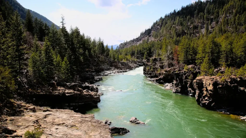
The photo at the top of this page is not Yampa River.
It is a regional stand-in, honestly captioned but generic — we will not put a name to a river we cannot prove. Send us a photograph you took here and it replaces the stand-in, with your credit on it.
Pioneer badgeUnclaimed
Add a photo of this water
Landscape, not fish — the water itself. Reviewed by hand before it appears. The first one published here earns the Pioneer badge.
Fished this water? Add a photo
Reviewed by hand before it appears. Pick the water, not the spot — we never publish exact locations.
Access
Steamboat Springs town reach - several miles of quality water with walk-in access and parking.
Chuck Lewis State Wildlife Area - public water immediately upstream of town.
Sarvis Creek State Wildlife Area - upper-valley walk-in water below Stagecoach.
Stagecoach Reservoir tailwater - short, heavily fished cold water below the dam.
Pleasant Valley and the Highway 40 pull-offs - middle-river bank access.
Craig and the Loudy-Simpson Park reach - the transition to warmwater and pike.
Deerlodge Park - the launch for the Yampa Canyon float into Dinosaur National Monument.
Seasons
Spring: heavy runoff from May into June - the river is high, brown and generally unfishable.
Summer: the main season, with good hatches and the risk of heat-driven fishing closures in dry years.
Fall: clear low water, strong brown trout fishing and the best conditions of the year in town.
Winter: cold, low and technical, with midge fishing in the town reach and ice elsewhere.
From the water
No logged trips yet. Be the first to put this water on your map.
Log this water
Fished it or cleaned it? Log in or create a free account to log a trip with photos and earn the waterway badge.
Questions
What is the current flow on the Yampa River?
As of Sep 17, 5:15 am, the USGS gauge YAMPA RIVER AT STEAMBOAT SPRINGS, CO reads 61 cfs, with water temperature 60.8 F. Conditions update every 15 minutes.
What species can you catch on the Yampa River?
Anglers target Brown Trout, Cuttbow, Cutthroat Trout, Mountain Whitefish, Northern Pike, Rainbow Trout, Smallmouth Bass on the Yampa River in Colorado.
Are there fishing guides on the Yampa River?
GuidedFloats lists 2 guides and outfitters on the Yampa River. Claimed profiles accept booking requests; unclaimed profiles are built from public records and link to the business.
Where can you access the Yampa River?
Steamboat Springs town reach - several miles of quality water with walk-in access and parking. Chuck Lewis State Wildlife Area - public water immediately upstream of town. Sarvis Creek State Wildlife Area - upper-valley walk-in water below Stagecoach. Stagecoach Reservoir tailwater - short, heavily fished cold water below the dam. Pleasant Valley and the Highway 40 pull-offs - middle-river bank access. Craig and the Loudy-Simpson Park reach - the transition to warmwater and pike. Deerlodge Park - the launch for the Yampa Canyon float into Dinosaur National Monument.
When is the best time to fish the Yampa River?
Spring: heavy runoff from May into June - the river is high, brown and generally unfishable. Summer: the main season, with good hatches and the risk of heat-driven fishing closures in dry years. Fall: clear low water, strong brown trout fishing and the best conditions of the year in town. Winter: cold, low and technical, with midge fishing in the town reach and ice elsewhere.
Where are the fishing regulations for the Yampa River?
Regulations change by season and section. Read the current rules on the Colorado agency site: https://cpw.state.co.us/rules-and-regulations