Fishes South Platte River
Tailwater · Front Range · Colorado
South Platte River Fishing Guides
Denver's home trout river, a chain of tailwaters through Cheesman Canyon, Deckers and Elevenmile Canyon with some of the most technical fishing in Colorado.
Map of the South Platte River
12 numbered points: 1 access point, 3 campsites, 4 parks and conservation areas, 3 hazards, 1 USGS gauge. Tap a marker for details. Reviewed Sep 8, 2026.
- Access / boat ramp (1)
- Campsite (3)
- Park / conservation area (4)
- Dam / hazard (3)
- USGS gauge (1)
Map data © OpenStreetMap contributors. Points are curated from OpenStreetMap and state agency sources; confirm access and hours before you go.
Print it. Bag it. Bring it.Phones die, screens crack, and most of this water has no signal. Print this map, fold it into a zip-top bag or dry bag with your license, and you have a backup your electronics can’t give you. Every marker is numbered so you can say exactly where you are.
Open the printable mapAll 12 points on this map
| # | Point | Type | Lat, Lon | Notes |
|---|---|---|---|---|
| 1 | Cheesman Dam Denver Water · head of the tailwater | Dam / hazard | 39.20824, -105.27224 | Top of the tailwater. The Cheesman Canyon reach immediately below the dam is walk-in only — there is no road and no mapped facility in it. |
| 2 | Lone Rock Campground Pike National Forest · Hwy 67 | Campsite | 39.25226, -105.23582 | Forest Service campground on the river between the foot of Cheesman Canyon and Deckers. |
| 3 | USGS gauge 06701900 · South Platte River below Brush Creek near Trumbull Live flow on the water page | USGS gauge | 39.25999, -105.22194 | The reference gauge for this tailwater; it sits on the Deckers–Trumbull stretch. |
| 4 | Bridge Crossing Picnic Area Pike National Forest · Hwy 67 | Park / conservation area | 39.29185, -105.20613 | Riverside day-use ground and walk-in access on the Deckers stretch. |
| 5 | Ouzel Campground Pike National Forest · Hwy 67 | Campsite | 39.31948, -105.18848 | One of the small riverside Forest Service campgrounds strung along Hwy 67 below Deckers. |
| 6 | Scraggy View Picnic Area Pike National Forest · Hwy 67 | Park / conservation area | 39.32779, -105.18770 | Day-use ground and river access on the Hwy 67 stretch. |
| 7 | Willow Bend Picnic Area Pike National Forest · Hwy 67 | Park / conservation area | 39.34293, -105.17923 | Day-use ground and river access on the Hwy 67 stretch. |
| 8 | Osprey Campground Pike National Forest · Hwy 67 | Campsite | 39.34936, -105.17695 | Lowest of the Hwy 67 Forest Service campgrounds before the road leaves the river. |
| 9 | Strontia Springs Dam Denver Water · head of Waterton Canyon | Dam / hazard | 39.43246, -105.12617 | Diversion dam at the top of Waterton Canyon; the canyon reach runs from here down to Kassler. |
| 10 | Kassler Trailhead Waterton Canyon · foot and bike access | Access / boat ramp | 39.49141, -105.09341 | Trailhead parking at the mouth of Waterton Canyon. The canyon road is closed to vehicles, so the reach above is walk-in or bike-in. |
| 11 | Platte Canyon Dam Diversion dam at the canyon mouth | Dam / hazard | 39.49006, -105.08982 | Small diversion structure where the river leaves Waterton Canyon. |
| 12 | Chatfield State Park Colorado Parks and Wildlife | Park / conservation area | 39.52963, -105.08232 | Downstream end of the tailwater — the river enters Chatfield Reservoir here. The reservoir's own ramps and campground are not on this sheet. |
Guides on the South Platte River
Claimed profiles take booking requests. Unclaimed profiles are built from public records so the river is never empty; the guide can claim or remove one any time.
Fishes South Platte River
Fishes South Platte River
Fishes Boulder Creek, South Platte River
Fishes South Platte River
About the South Platte River
The South Platte is not one river so much as a series of tailwaters strung between reservoirs, and together they make up the most heavily fished trout water in Colorado. Elevenmile Canyon, the Dream Stream between Spinney Mountain and Elevenmile reservoirs, Cheesman Canyon and the Deckers water below it are each famous in their own right, and all of them are within a couple of hours of Denver.
Cheesman Canyon is the benchmark. A steep hike into a granite gorge, gin-clear water, and trout that have seen every fly ever tied make it the standard against which Colorado anglers measure their technical skills, with 6X tippet and size 22 midges the norm. Deckers below it is more forgiving and more crowded. The Dream Stream is a short meadow reach that draws crowds when big rainbows and browns run up out of Elevenmile. Elevenmile Canyon is the most scenic and the most family-friendly, with a road along the water and campgrounds.
This gauge sits on the upper river below Brush Creek. Flows across the system are governed by reservoir operations and by Denver Water’s deliveries, and they change substantially with the season and with drought. Something in the 100 to 500 cfs range fishes well through most of these reaches; low winter flows concentrate fish and make the fishing more technical still, while heavy summer releases push wading anglers to the banks. Post-fire sediment from the Hayman burn still affects the Cheesman and Deckers water after hard rain.
Deckers, Lake George and Fairplay are the access towns, with Denver and Colorado Springs both close enough for a day trip, which is exactly why weekends here are busy. Weekday mornings in winter are the best-kept secret on the river.
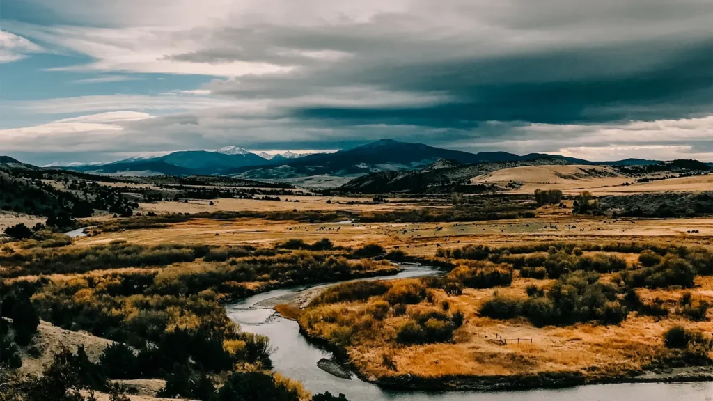
This water needs a real photo
The photo at the top of this page is not South Platte River.
It is a regional stand-in, honestly captioned but generic — we will not put a name to a river we cannot prove. Send us a photograph you took here and it replaces the stand-in, with your credit on it.
Pioneer badgeUnclaimed
Add a photo of this water
Landscape, not fish — the water itself. Reviewed by hand before it appears. The first one published here earns the Pioneer badge.
Fished this water? Add a photo
Reviewed by hand before it appears. Pick the water, not the spot — we never publish exact locations.
Access
Elevenmile Canyon: road access, campgrounds and a long stretch of accessible water.
The Dream Stream: the reach between Spinney Mountain and Elevenmile reservoirs.
Cheesman Canyon: the Gill Trail walk-in from Wigwam Club parking, catch-and-release, flies and lures.
Deckers: roadside access on both banks, the most-fished water on the river.
Nighthawk and Trumbull: access points near the gauge on the upper river.
Waterton Canyon: lower river walk-and-bike access closer to Denver.
Special regulations vary by reach; read the signs at each access.
Seasons
Year-round on the tailwaters; winter is a real season here.
March through May: blue-winged olives, spring runs on the Dream Stream, moderate flows.
June through August: the busiest months, caddis and terrestrials, early starts.
September through February: fall browns, then technical winter midge fishing with almost no company.
From the water
No logged trips yet. Be the first to put this water on your map.
Log this water
Fished it or cleaned it? Log in or create a free account to log a trip with photos and earn the waterway badge.
Questions
What is the current flow on the South Platte River?
As of Oct 18, 4:45 pm, the USGS gauge SOUTH PLATTE RIVER BLW BRUSH CRK NEAR TRUMBULL, CO reads 105 cfs, the 45th percentile for this date. Conditions update every 15 minutes.
What species can you catch on the South Platte River?
Anglers target Brown Trout, Cuttbow, Cutthroat Trout, Mountain Whitefish, Rainbow Trout on the South Platte River in Colorado.
Are there fishing guides on the South Platte River?
GuidedFloats lists 5 guides and outfitters on the South Platte River. Claimed profiles accept booking requests; unclaimed profiles are built from public records and link to the business.
Where can you access the South Platte River?
Elevenmile Canyon: road access, campgrounds and a long stretch of accessible water. The Dream Stream: the reach between Spinney Mountain and Elevenmile reservoirs. Cheesman Canyon: the Gill Trail walk-in from Wigwam Club parking, catch-and-release, flies and lures. Deckers: roadside access on both banks, the most-fished water on the river. Nighthawk and Trumbull: access points near the gauge on the upper river. Waterton Canyon: lower river walk-and-bike access closer to Denver. Special regulations vary by reach; read the signs at each access.
When is the best time to fish the South Platte River?
Year-round on the tailwaters; winter is a real season here. March through May: blue-winged olives, spring runs on the Dream Stream, moderate flows. June through August: the busiest months, caddis and terrestrials, early starts. September through February: fall browns, then technical winter midge fishing with almost no company.
Where are the fishing regulations for the South Platte River?
Regulations change by season and section. Read the current rules on the Colorado agency site: https://cpw.state.co.us/rules-and-regulations