Shavers Fork Fishing Guides
One of the highest-elevation trout rivers in the East, running through remote Monongahela National Forest spruce country.
Guides on the Shavers Fork
Claimed profiles take booking requests. Unclaimed profiles are built from public records so the river is never empty; the guide can claim or remove one any time.
No guides listed yet
Guide or outfit this water? Create your profile. Listing is free, the commission is 10% or 7% with a premium profile, and premium profiles list first on this water.
About the Shavers Fork
Shavers Fork is the highest large trout stream in the eastern United States, and the upper river above Cheat Bridge sits above three thousand feet in red spruce and northern hardwood country that feels far more like Maine than West Virginia. It is the main headwater of the Cheat River, and the upper reach is one of the genuinely remote pieces of trout water left in the mid-Atlantic.
Native brook trout are the prize in the headwaters and the small tributaries feeding them. West Virginia stocks rainbows and browns in the accessible reaches, and holdover fish are common because the water stays cold through the summer at this elevation – the gauge here carries a live temperature series, which is worth watching in August. Lower down, as the river warms and opens up past Bemis and toward Parsons, smallmouth bass and rock bass take over and the trout thin out.
The signature access here is not a road. A long section of the upper river is reached by the West Virginia Central Railroad tracks out of Cheat Bridge and Spruce, and walking the rails is the traditional way in. The Cheat Mountain Salamander and other excursion trains run the same corridor. Below that, Forest Route 92 and the roads around Bemis open up the middle river, and Parsons provides the lower access.
This is backcountry fishing and should be treated as such. Weather at this elevation turns fast, cell coverage is poor to absent, and the walk out is long. Acid deposition has historically been a problem in this drainage and liming programmes have been used to keep the upper river fishable, so conditions vary reach by reach. Go prepared and give yourself a full day.
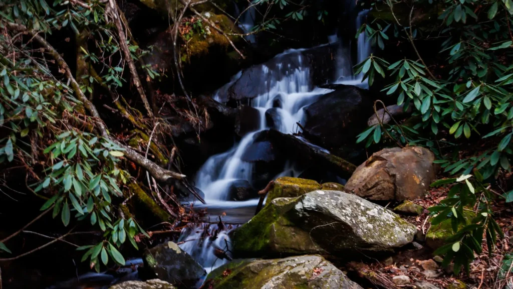
This water needs a real photo
The photo at the top of this page is not Shavers Fork.
It is a regional stand-in, honestly captioned but generic — we will not put a name to a river we cannot prove. Send us a photograph you took here and it replaces the stand-in, with your credit on it.
Add a photo of this water
Landscape, not fish — the water itself. Reviewed by hand before it appears. The first one published here earns the Pioneer badge.
Fished this water? Add a photo
Reviewed by hand before it appears. Pick the water, not the spot — we never publish exact locations.
Access
Cheat Bridge - the gauge crossing and the main upper-river entry point.
West Virginia Central Railroad grade - the traditional walking access to the upper river.
Spruce - the remote former town site at the top of the river.
High Falls of Cheat - a scenic destination reached on foot or by excursion train.
Bemis - middle river access off the forest road network.
Forest Route 92 - the main forest road corridor along the middle river.
Parsons - lower river access near the Cheat confluence.
Seasons
Spring: high cold flows, stocking in the accessible reaches and strong trout fishing.
Summer: the upper river stays cold and fishable when lower streams do not.
Fall: low clear water, wild brook trout colouring up and excellent hiking.
Winter: snowbound at elevation with most upper access effectively closed.
From the water
No logged trips yet. Be the first to put this water on your map.
Log this water
Fished it or cleaned it? Log in or create a free account to log a trip with photos and earn the waterway badge.
Questions
What is the current flow on the Shavers Fork?
As of Sep 17, 6:15 am, the USGS gauge SHAVERS FORK NR CHEAT BRIDGE, WV reads 25 cfs, with water temperature 64 F. Conditions update every 15 minutes.
What species can you catch on the Shavers Fork?
Anglers target Brook Trout, Brown Trout, Rainbow Trout, Rock Bass, Smallmouth Bass on the Shavers Fork in West Virginia.
Where can you access the Shavers Fork?
Cheat Bridge - the gauge crossing and the main upper-river entry point. West Virginia Central Railroad grade - the traditional walking access to the upper river. Spruce - the remote former town site at the top of the river. High Falls of Cheat - a scenic destination reached on foot or by excursion train. Bemis - middle river access off the forest road network. Forest Route 92 - the main forest road corridor along the middle river. Parsons - lower river access near the Cheat confluence.
When is the best time to fish the Shavers Fork?
Spring: high cold flows, stocking in the accessible reaches and strong trout fishing. Summer: the upper river stays cold and fishable when lower streams do not. Fall: low clear water, wild brook trout colouring up and excellent hiking. Winter: snowbound at elevation with most upper access effectively closed.
Where are the fishing regulations for the Shavers Fork?
Regulations change by season and section. Read the current rules on the West Virginia agency site: https://wvdnr.gov/fishing/fishing-regulations/