Williams River Fishing Guides
A road-accessible Monongahela National Forest trout river with a well-known catch-and-release reach and campgrounds along the water.
Guides on the Williams River
Claimed profiles take booking requests. Unclaimed profiles are built from public records so the river is never empty; the guide can claim or remove one any time.
No guides listed yet
Guide or outfit this water? Create your profile. Listing is free, the commission is 10% or 7% with a premium profile, and premium profiles list first on this water.
About the Williams River
The Williams rises near the Highland Scenic Highway on the crest of the Allegheny plateau and runs southwest through the Monongahela National Forest to join the Gauley at Dyer. It is the Cranberry’s near neighbour and its opposite in one important respect – a forest road follows the Williams for its whole upper length, so the good water is reachable by car. For anglers who would rather fish than walk, that makes this the more practical of the two.
West Virginia stocks the Williams heavily with rainbow and brown trout through the spring, and the upper river holds a population of native brook trout along with the tributaries feeding it. A designated catch-and-release, artificial-lures-only section on the upper river is the best-known water and holds trout through the summer when the stocked reaches downstream have thinned out. Below Dyer, where the river meets the Gauley, the water warms and smallmouth bass and rock bass take over.
The fishing is straightforward freestone work – pocket water, plunge pools and long gravel runs under a heavy hardwood canopy. A dry-dropper covers most situations, and the river is small enough that a short rod is an advantage. Several Forest Service campgrounds sit directly on the water, which makes a multi-day trip easy to arrange and puts an angler on the river at first light without a drive.
Flows are freestone and unbuffered, so the river runs high and cold through the spring and can get thin and warm by late August in a dry year. Like the Cranberry, the Williams has been subject to a long-running liming program to counter acid deposition from the plateau, and its trout fishery depends on that work continuing. The Highland Scenic Highway above the river is a fine approach in autumn and closes in winter snow.
This water needs a real photo
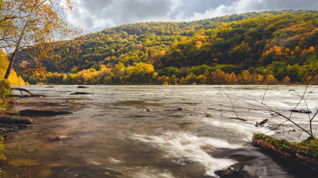
The photo at the top of this page is not Williams River.
It is a regional stand-in, honestly captioned but generic — we will not put a name to a river we cannot prove. Send us a photograph you took here and it replaces the stand-in, with your credit on it.
Add a photo of this water
Landscape, not fish — the water itself. Reviewed by hand before it appears. The first one published here earns the Pioneer badge.
Fished this water? Add a photo
Reviewed by hand before it appears. Pick the water, not the spot — we never publish exact locations.
Access
Forest Road 86 - follows the upper river with continuous roadside access.
Tea Creek Campground - a Forest Service campground on the water.
Day Run Campground - a second riverside campground on the middle river.
Handley Wildlife Management Area - public access on the lower river.
Dyer - the gauge site and the Gauley confluence at the bottom of the river.
Highland Scenic Highway - the ridge route above the headwaters, closed in winter.
Tea Creek and Williams headwaters trails - foot access to native brook trout water.
Seasons
Spring: high cold flows with heavy stocking through April and May.
Summer: the catch-and-release reach fishes best as the stocked water downstream thins out.
Fall: low clear water, wild brook trout in spawning colour and excellent canopy colour.
Winter: snow and cold close the high approaches and slow the fishing considerably.
From the water
No logged trips yet. Be the first to put this water on your map.
Log this water
Fished it or cleaned it? Log in or create a free account to log a trip with photos and earn the waterway badge.
Questions
What is the current flow on the Williams River?
As of Sep 17, 5:15 am, the USGS gauge WILLIAMS RIVER AT DYER, WV reads 58 cfs. Conditions update every 15 minutes.
What species can you catch on the Williams River?
Anglers target Brook Trout, Brown Trout, Rainbow Trout, Rock Bass, Smallmouth Bass on the Williams River in West Virginia.
Where can you access the Williams River?
Forest Road 86 - follows the upper river with continuous roadside access. Tea Creek Campground - a Forest Service campground on the water. Day Run Campground - a second riverside campground on the middle river. Handley Wildlife Management Area - public access on the lower river. Dyer - the gauge site and the Gauley confluence at the bottom of the river. Highland Scenic Highway - the ridge route above the headwaters, closed in winter. Tea Creek and Williams headwaters trails - foot access to native brook trout water.
When is the best time to fish the Williams River?
Spring: high cold flows with heavy stocking through April and May. Summer: the catch-and-release reach fishes best as the stocked water downstream thins out. Fall: low clear water, wild brook trout in spawning colour and excellent canopy colour. Winter: snow and cold close the high approaches and slow the fishing considerably.
Where are the fishing regulations for the Williams River?
Regulations change by season and section. Read the current rules on the West Virginia agency site: https://wvdnr.gov/fishing/fishing-regulations/