Cataloochee Creek Fishing Guides
A wild trout creek running through a high mountain valley in the Great Smokies that was a farming community a century ago and is now elk range and national park backcountry.
Guides on the Cataloochee Creek
Claimed profiles take booking requests. Unclaimed profiles are built from public records so the river is never empty; the guide can claim or remove one any time.
No guides listed yet
Guide or outfit this water? Create your profile. Listing is free, the commission is 10% or 7% with a premium profile, and premium profiles list first on this water.
About the Cataloochee Creek
Cataloochee sits in a broad valley in the northeastern corner of Great Smoky Mountains National Park, reached by a long gravel road over the ridge that discourages casual visitors. The valley was a settled farming community into the early twentieth century, with several hundred residents, churches, a school and cleared bottomland. When the park was established the families left, and what remains is a handful of preserved frame buildings standing in open meadow with the creek running through it.
That history is visible in the water. The valley floor is open where it was once farmed, so the creek runs through meadow in the middle section rather than under continuous canopy, with grassy undercut banks and slower glides. Above and below the valley it returns to typical Smokies form: tight rhododendron tunnels, plunge pools, bedrock slides and pocket water dropping steeply through hardwood forest.
The trout are wild and the park manages them that way, with no stocking anywhere in its waters. Rainbow trout dominate the main creek, brown trout hold in the larger pools lower down, and native southern Appalachian brook trout occupy the small high tributaries above the range the other two species can reach. The park’s regulations are specific, including restrictions on hook and bait type, and they are enforced.
Cataloochee is also the park’s main elk range. Elk were reintroduced here and the herd is now well established, so the meadows along the creek draw wildlife watchers at dawn and dusk, particularly during the autumn rut. Anglers and elk share the valley, and the animals are large enough that keeping distance is a practical matter rather than a courtesy.
The creek is small, clear and unforgiving of a careless approach. Fish see anglers before anglers see them, and a low profile matters more than a long cast. Spring and early summer bring the most active surface fishing, autumn is the most beautiful and the busiest, and winter closes the access road often enough that checking conditions before driving over is worth the effort.
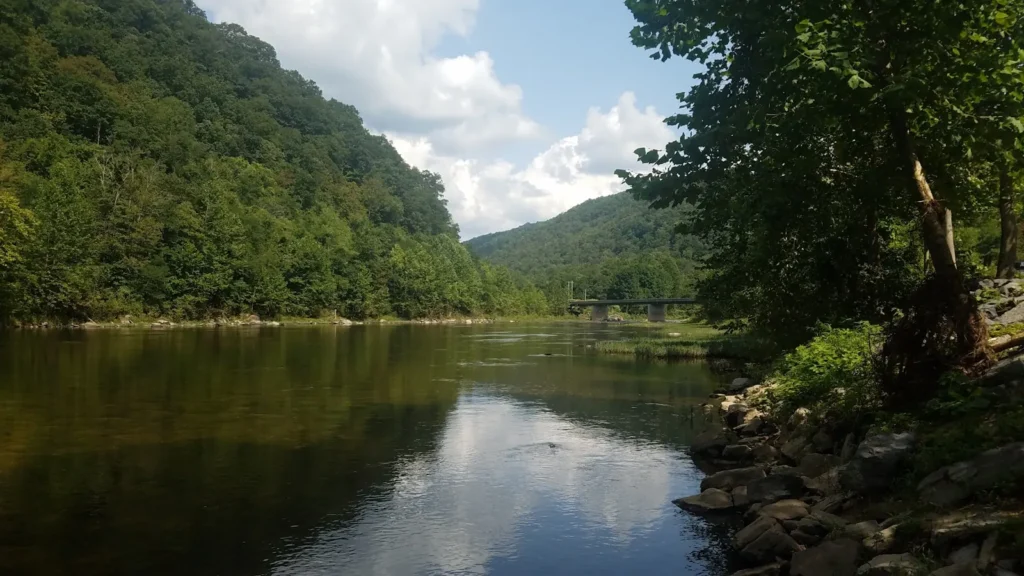
This water needs a real photo
The photo at the top of this page is not Cataloochee Creek.
It is a regional stand-in, honestly captioned but generic — we will not put a name to a river we cannot prove. Send us a photograph you took here and it replaces the stand-in, with your credit on it.
Add a photo of this water
Landscape, not fish — the water itself. Reviewed by hand before it appears. The first one published here earns the Pioneer badge.
Fished this water? Add a photo
Reviewed by hand before it appears. Pick the water, not the spot — we never publish exact locations.
Access
Cataloochee Valley - the open historic valley the creek runs through, the main destination.
Great Smoky Mountains National Park - the federal land covering the entire drainage.
Cataloochee Campground - the park campground on the creek in the valley.
Cove Creek Road - the long gravel route over the ridge into the valley.
Waynesville - the nearest town with full services, to the southwest.
Pigeon River - the larger river receiving the creek downstream.
Big Creek - the neighboring park drainage to the north.
Seasons
Spring: rising temperatures, strong hatches and the most active wild trout fishing.
Summer: warm afternoons with the best fishing early and late in the shaded upper water.
Fall: cool clear water, elk in the meadows during the rut and heavy visitation.
Winter: cold and quiet, with the access road subject to closure after snow.
From the water
No logged trips yet. Be the first to put this water on your map.
Log this water
Fished it or cleaned it? Log in or create a free account to log a trip with photos and earn the waterway badge.
Questions
What is the current flow on the Cataloochee Creek?
As of Sep 17, 6:30 am, the USGS gauge CATALOOCHEE CREEK NEAR CATALOOCHEE, NC reads 57 cfs, with water temperature 63.3 F. Conditions update every 15 minutes.
What species can you catch on the Cataloochee Creek?
Anglers target Brook Trout, Brown Trout, Rainbow Trout, Rock Bass on the Cataloochee Creek in North Carolina.
Where can you access the Cataloochee Creek?
Cataloochee Valley - the open historic valley the creek runs through, the main destination. Great Smoky Mountains National Park - the federal land covering the entire drainage. Cataloochee Campground - the park campground on the creek in the valley. Cove Creek Road - the long gravel route over the ridge into the valley. Waynesville - the nearest town with full services, to the southwest. Pigeon River - the larger river receiving the creek downstream. Big Creek - the neighboring park drainage to the north.
When is the best time to fish the Cataloochee Creek?
Spring: rising temperatures, strong hatches and the most active wild trout fishing. Summer: warm afternoons with the best fishing early and late in the shaded upper water. Fall: cool clear water, elk in the meadows during the rut and heavy visitation. Winter: cold and quiet, with the access road subject to closure after snow.
Where are the fishing regulations for the Cataloochee Creek?
Regulations change by season and section. Read the current rules on the North Carolina agency site: https://www.ncwildlife.gov/fishing/regulations