East Branch Penobscot River Fishing Guides
A remote North Woods river running from Grand Lake Matagamon past Katahdin Woods and Waters to Medway, with wild brook trout, landlocked salmon and almost nobody on it.
Map of the East Branch Penobscot River
28 numbered points: 3 access points, 8 campsites, 1 outfitter, 2 bridges, 1 park or conservation area, 1 agency office, 2 regulation section limits, 9 hazards, 1 USGS gauge. Tap a marker for details. Reviewed Sep 25, 2026.
- Access / boat ramp (3)
- Campsite (8)
- Outfitter / canoe rental (1)
- Bridge crossing (2)
- Park / conservation area (1)
- Agency / conservation office (1)
- Regulation section limit (2)
- Dam / hazard (9)
- USGS gauge (1)
Print it. Bag it. Bring it.Phones die, screens crack, and most of this water has no signal. Print this map, fold it into a zip-top bag or dry bag with your license, and you have a backup your electronics can’t give you. Every marker is numbered so you can say exactly where you are.
Open the printable mapAll 28 points on this map
| # | Point | Type | Lat, Lon | Notes |
|---|---|---|---|---|
| 1 | Grand Lake Matagamon boat launch Launch above the dam | Access / boat ramp | 46.14193, -68.79035 | Unnamed slipway in OSM. |
| 2 | Baxter State Park: Matagamon Gate Baxter State Park north entrance | Agency / conservation office | 46.15493, -68.80558 | |
| 3 | Grand Lake Matagamon Dam Outlet dam | Dam / hazard | 46.14113, -68.79053 | The East Branch begins below this dam. |
| 4 | Reach boundary - Grand Lake Road bridge MDIFW reach boundary at the first crossing below the dam | Regulation section limit | 46.13409, -68.79390 | Boundary of a reach listed under this river in the MDIFW special fishing laws. The rules themselves are not restated here - check the current law book. |
| 5 | Matagamon Wilderness Private campground at the Grand Lake Road crossing | Campsite | 46.13362, -68.79369 | |
| 6 | Stair Falls West Riverside campsite above Stair Falls | Campsite | 46.08721, -68.77772 | |
| 7 | Stair Falls Ledge drops | Dam / hazard | 46.08706, -68.77643 | First of the East Branch pitches. |
| 8 | Haskell Deadwater Riverside campsite | Campsite | 46.07273, -68.76849 | |
| 9 | Haskell Rock Pitch Pitch - carry | Dam / hazard | 46.07291, -68.76433 | One of the big drops on the East Branch; scout and carry. |
| 10 | Pond Pitch Pitch - carry | Dam / hazard | 46.06390, -68.75472 | |
| 11 | Pond Pitch Campsite Riverside campsite at the pitch | Campsite | 46.06366, -68.75518 | |
| 12 | Grand Pitch Pitch - carry | Dam / hazard | 46.05775, -68.74572 | The biggest drop on the East Branch. |
| 13 | Bowlin Camp Road Woods-road crossing | Bridge crossing | 46.03622, -68.72704 | |
| 14 | Bowlin Camp Private sporting camp at the Bowlin Road crossing | Outfitter / canoe rental | 46.03511, -68.72513 | |
| 15 | Spencer Rips Rips | Dam / hazard | 46.01742, -68.72389 | |
| 16 | Elbow Riverside campsite | Campsite | 45.98451, -68.68443 | |
| 17 | Fiske Brook Riverside campsite | Campsite | 45.96787, -68.65419 | |
| 18 | Lunksoos Boat Launch Katahdin Woods & Waters reach | Access / boat ramp | 45.90834, -68.61514 | |
| 19 | Lunksoos Campground Campground at the launch | Campsite | 45.90832, -68.61364 | |
| 20 | Whetstone Falls Falls and rapids | Dam / hazard | 45.86143, -68.62421 | |
| 21 | Reach boundary - Swift Brook Road bridge MDIFW reach boundary at Whetstone Falls | Regulation section limit | 45.86111, -68.62383 | Boundary of a reach listed under this river in the MDIFW special fishing laws. The rules themselves are not restated here - check the current law book. |
| 22 | Whetstone Falls Day Use Area Day-use area at the falls | Park / conservation area | 45.86135, -68.62322 | |
| 23 | USGS gauge 01029500 - East Branch Penobscot River at Grindstone Live stage and discharge | USGS gauge | 45.73028, -68.58944 | |
| 24 | Grindstone Falls Ledge drop | Dam / hazard | 45.72486, -68.58950 | |
| 25 | Ledge Falls Ledge drop above Medway | Dam / hazard | 45.63941, -68.54526 | |
| 26 | Katahdin Shadows Campground Private campground near Medway | Campsite | 45.61690, -68.55024 | |
| 27 | Medway Recreation Area launch Town launch at the West Branch confluence reach | Access / boat ramp | 45.61481, -68.53904 | Unnamed slipway in OSM, inside Medway Recreation Area. |
| 28 | Medway Road Route 11/157 crossing, Medway | Bridge crossing | 45.61336, -68.53741 | Downstream end of the East Branch listing in the MDIFW law book. |
Guides on the East Branch Penobscot River
Claimed profiles take booking requests. Unclaimed profiles are built from public records so the river is never empty; the guide can claim or remove one any time.
No guides listed yet
Guide or outfit this water? Create your profile. Listing is free, the commission is 10% or 7% with a premium profile, and premium profiles list first on this water.
About the East Branch Penobscot River
The East Branch of the Penobscot leaves Grand Lake Matagamon at the northeast corner of Baxter State Park and runs south through the Katahdin Woods and Waters National Monument to Medway, where it joins the West Branch. It is the quieter of the two branches and it is as close to genuine wilderness river fishing as you can reach by road in the East.
Wild brook trout are the reason to come. They are native, they are not stocked over, and in the cold reaches below Matagamon and around Whetstone Falls and the Haskell Rock Pitch they reach sizes that Southern New England anglers do not believe. Landlocked salmon run up from the lakes and pools, and the lower river below Grindstone warms enough to hold smallmouth bass and pickerel, which makes a summer float here a mixed bag in the best sense.
Most trips are canoe trips, and multi-day paddles from Matagamon down to Whetstone or Medway are a classic Maine itinerary combining fishing and whitewater. Guided single-day trips generally focus on the Matagamon tailwater and the pools around the national monument access roads.
The Grindstone gauge reads the whole East Branch. Spring flows are heavy and the whitewater sections are serious; by midsummer the river drops and the ledges get exposed, which improves the fishing and complicates the paddling. Look for a stable or falling river.
Millinocket and Medway are the supply towns and everything north of them is logging road country. Cell service is nonexistent for most of the corridor, gas is scarce, and blackflies own June. Plan like it is remote, because it is.
This water needs a real photo
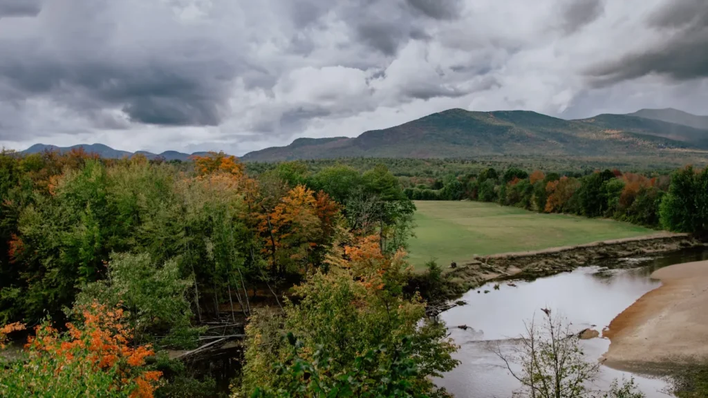
The photo at the top of this page is not East Branch Penobscot River.
It is a regional stand-in, honestly captioned but generic — we will not put a name to a river we cannot prove. Send us a photograph you took here and it replaces the stand-in, with your credit on it.
Add a photo of this water
Landscape, not fish — the water itself. Reviewed by hand before it appears. The first one published here earns the Pioneer badge.
Fished this water? Add a photo
Reviewed by hand before it appears. Pick the water, not the spot — we never publish exact locations.
Access
Grand Lake Matagamon and the Matagamon dam: the top of the river at the Baxter State Park boundary.
Katahdin Woods and Waters National Monument: access roads reaching Haskell Rock and Whetstone Falls.
Whetstone Falls Bridge: mid-river access with parking.
Lunksoos and Stacyville: eastern access from Route 11.
Grindstone: access near the gauge on the lower river.
Medway: the confluence with the West Branch and the takeout for long trips.
Seasons
April and May: very high cold water, ice-out fishing on the lakes, difficult river access.
June: blackfly season and the best brook trout fishing of the year as flows drop.
July and August: warm afternoons, cold spring holes, mixed trout and smallmouth on the lower reaches.
September: the strongest month for salmon and big brook trout before the season closes; check current Maine rules.
From the water
No logged trips yet. Be the first to put this water on your map.
Log this water
Fished it or cleaned it? Log in or create a free account to log a trip with photos and earn the waterway badge.
Questions
What is the current flow on the East Branch Penobscot River?
As of Oct 19, 3:00 am, the USGS gauge East Branch Penobscot River at Grindstone, Maine reads 444 cfs, the 22nd percentile for this date. Conditions update every 15 minutes.
What species can you catch on the East Branch Penobscot River?
Anglers target Brook Trout, Chain Pickerel, Lake Trout, Landlocked Atlantic Salmon, Smallmouth Bass on the East Branch Penobscot River in Maine.
Where can you access the East Branch Penobscot River?
Grand Lake Matagamon and the Matagamon dam: the top of the river at the Baxter State Park boundary. Katahdin Woods and Waters National Monument: access roads reaching Haskell Rock and Whetstone Falls. Whetstone Falls Bridge: mid-river access with parking. Lunksoos and Stacyville: eastern access from Route 11. Grindstone: access near the gauge on the lower river. Medway: the confluence with the West Branch and the takeout for long trips.
When is the best time to fish the East Branch Penobscot River?
April and May: very high cold water, ice-out fishing on the lakes, difficult river access. June: blackfly season and the best brook trout fishing of the year as flows drop. July and August: warm afternoons, cold spring holes, mixed trout and smallmouth on the lower reaches. September: the strongest month for salmon and big brook trout before the season closes; check current Maine rules.
Where are the fishing regulations for the East Branch Penobscot River?
Regulations change by season and section. Read the current rules on the Maine agency site: https://www.maine.gov/ifw/fishing-boating/fishing/laws-rules/index.html