Fishes Roaring Fork River
River · Western Colorado · Colorado
Roaring Fork River Fishing Guides
Gold Medal water from Aspen through Basalt and Carbondale to Glenwood Springs, gathering the Fryingpan and the Crystal on the way, one of Colorado's premier float rivers.
Map of the Roaring Fork River
12 numbered points: 4 access points, 1 campsite, 6 parks and conservation areas, 1 USGS gauge. Tap a marker for details. Reviewed Sep 8, 2026.
- Access / boat ramp (4)
- Campsite (1)
- Park / conservation area (6)
- USGS gauge (1)
Map data © OpenStreetMap contributors. Points are curated from OpenStreetMap and state agency sources; confirm access and hours before you go.
Print it. Bag it. Bring it.Phones die, screens crack, and most of this water has no signal. Print this map, fold it into a zip-top bag or dry bag with your license, and you have a backup your electronics can’t give you. Every marker is numbered so you can say exactly where you are.
Open the printable mapAll 12 points on this map
| # | Point | Type | Lat, Lon | Notes |
|---|---|---|---|---|
| 1 | Herron Park City of Aspen | Park / conservation area | 39.18984, -106.81398 | Riverside park on the Roaring Fork in Aspen. |
| 2 | John Denver Sanctuary City of Aspen | Park / conservation area | 39.19235, -106.81627 | Riverside park and memorial garden on the Roaring Fork at the Rio Grande Trail. |
| 3 | Rio Grande Park City of Aspen | Park / conservation area | 39.19207, -106.81714 | Open park on the river beside the Rio Grande Trail; parking at the Rio Grande garage. |
| 4 | Henry Stein Park City of Aspen · Rio Grande Trail | Access / boat ramp | 39.21140, -106.84010 | Riverside park and trailhead parking below Aspen; a walk-in reach of the upper Roaring Fork. |
| 5 | Wilton Jaffee Sr. Park Pitkin County · Woody Creek | Park / conservation area | 39.25510, -106.87987 | County park on the river at Woody Creek. |
| 6 | Old Snowmass Trailhead Rio Grande Trail · North River Road | Access / boat ramp | 39.33237, -106.98598 | Trailhead parking on the Rio Grande Trail; the trail is the public bank access along most of this river. |
| 7 | Wingo Rio Grande Trailhead Rio Grande Trail · Wingo | Access / boat ramp | 39.34706, -107.01093 | Trailhead parking at Wingo Junction. |
| 8 | Hooks Lane Trailhead Rio Grande Trail · Hooks Spur, Willits | Access / boat ramp | 39.37354, -107.08576 | Trailhead parking at Hooks Spur below Basalt. |
| 9 | Town of Carbondale Campground Town of Carbondale · Satank | Campsite | 39.41594, -107.22550 | Town campground on the river at Satank, just above Carbondale. |
| 10 | Conservancy Park Glenwood Springs | Park / conservation area | 39.50959, -107.30863 | Riverside park above Glenwood Springs. |
| 11 | Veltus Park Glenwood Springs | Park / conservation area | 39.54540, -107.33106 | Park on the last bend of the Roaring Fork, a few hundred yards above the Colorado. |
| 12 | USGS 09085000 — Roaring Fork River at Glenwood Springs USGS streamgage | USGS gauge | 39.54667, -107.33083 | The gauge at the mouth; read it before wading the lower river. |
Guides on the Roaring Fork River
Claimed profiles take booking requests. Unclaimed profiles are built from public records so the river is never empty; the guide can claim or remove one any time.
About the Roaring Fork River
The Roaring Fork starts on Independence Pass above Aspen and runs forty miles down the valley through Basalt, Carbondale and Glenwood Springs to the Colorado. It picks up the Fryingpan at Basalt and the Crystal at Carbondale, and each addition roughly changes its character, from a small freestone up top to a full-size float river by the time it reaches Glenwood.
The upper river around Aspen is wade water, small and quick with rainbows, browns and brook trout. From Basalt down the river is floatable and the reach from Basalt to Carbondale and Carbondale to Glenwood is Gold Medal water and the heart of the guided fishery. Browns dominate, rainbows are strong and increasing, and there are enough big fish to justify the reputation. The Fryingpan tailwater above Basalt, below Ruedi Reservoir, is a separate and very well-known technical fishery in its own right and is the fallback when the main stem is high.
The Roaring Fork is a freestone river, which means runoff genuinely closes it for several weeks in late May and June. The rest of the year it is one of the more consistent rivers in Colorado, with good green drake and caddis hatches in summer and excellent blue-winged olive and streamer fishing in October and November.
The Glenwood Springs gauge is at the bottom and reads the whole valley. Guides generally like the several-hundred to low-thousand cfs range for floating; runoff peaks several times higher and off-color. Watch the trend and the clarity as much as the number.
Aspen, Basalt, Carbondale and Glenwood Springs all have shops, guides and lodging, with Basalt the traditional angling center.
This water needs a real photo
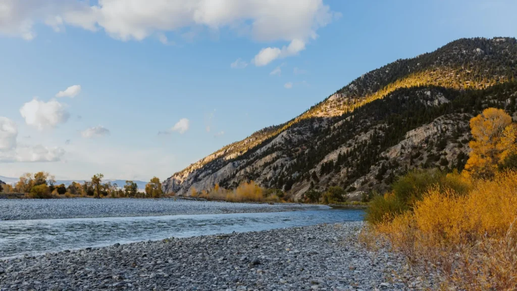
The photo at the top of this page is not Roaring Fork River.
It is a regional stand-in, honestly captioned but generic — we will not put a name to a river we cannot prove. Send us a photograph you took here and it replaces the stand-in, with your credit on it.
Pioneer badgeUnclaimed
Add a photo of this water
Landscape, not fish — the water itself. Reviewed by hand before it appears. The first one published here earns the Pioneer badge.
Fished this water? Add a photo
Reviewed by hand before it appears. Pick the water, not the spot — we never publish exact locations.
Access
Aspen and Independence Pass: upper river wade access.
Woody Creek and Upper Woody Creek: the top of the floatable water.
Basalt and the Fryingpan confluence: the main access hub and the top of the Gold Medal float.
Hooks Bridge, Catherine Store and Carbondale: mid-valley ramps.
Sunlight Bridge and Westbank: lower valley accesses.
Glenwood Springs: takeout at the Colorado confluence near the gauge.
Seasons
March through May: pre-runoff blue-winged olives and streamers, excellent before the water comes up.
Late May and June: runoff; fish the Fryingpan tailwater instead.
July through September: prime float season, green drakes, caddis and terrestrials.
October through December: the best streamer fishing of the year and very few boats.
From the water
No logged trips yet. Be the first to put this water on your map.
Log this water
Fished it or cleaned it? Log in or create a free account to log a trip with photos and earn the waterway badge.
Questions
What is the current flow on the Roaring Fork River?
As of Oct 19, 3:45 am, the USGS gauge ROARING FORK RIVER AT GLENWOOD SPRINGS, CO. reads 496 cfs, the 10th percentile for this date, with water temperature 49.8 F. Conditions update every 15 minutes.
What species can you catch on the Roaring Fork River?
Anglers target Brook Trout, Brown Trout, Cutthroat Trout, Mountain Whitefish, Rainbow Trout on the Roaring Fork River in Colorado.
Are there fishing guides on the Roaring Fork River?
GuidedFloats lists 3 guides and outfitters on the Roaring Fork River. Claimed profiles accept booking requests; unclaimed profiles are built from public records and link to the business.
Where can you access the Roaring Fork River?
Aspen and Independence Pass: upper river wade access. Woody Creek and Upper Woody Creek: the top of the floatable water. Basalt and the Fryingpan confluence: the main access hub and the top of the Gold Medal float. Hooks Bridge, Catherine Store and Carbondale: mid-valley ramps. Sunlight Bridge and Westbank: lower valley accesses. Glenwood Springs: takeout at the Colorado confluence near the gauge.
When is the best time to fish the Roaring Fork River?
March through May: pre-runoff blue-winged olives and streamers, excellent before the water comes up. Late May and June: runoff; fish the Fryingpan tailwater instead. July through September: prime float season, green drakes, caddis and terrestrials. October through December: the best streamer fishing of the year and very few boats.
Where are the fishing regulations for the Roaring Fork River?
Regulations change by season and section. Read the current rules on the Colorado agency site: https://cpw.state.co.us/rules-and-regulations