Fishes Wenatchee River
River · North Central Washington · Washington
Wenatchee River Fishing Guides
An east-slope Cascade river running from Lake Wenatchee through Leavenworth and Cashmere to the Columbia, with catch-and-release trout and a seasonal steelhead fishery.
Map of the Wenatchee River
13 numbered points: 4 access points, 2 campsites, 6 parks and conservation areas, 1 USGS gauge. Tap a marker for details. Reviewed Sep 15, 2026.
- Access / boat ramp (4)
- Campsite (2)
- Park / conservation area (6)
- USGS gauge (1)
Map data © OpenStreetMap contributors. Points are curated from OpenStreetMap and state agency sources; confirm access and hours before you go.
Print it. Bag it. Bring it.Phones die, screens crack, and most of this water has no signal. Print this map, fold it into a zip-top bag or dry bag with your license, and you have a backup your electronics can’t give you. Every marker is numbered so you can say exactly where you are.
Open the printable mapAll 13 points on this map
| # | Point | Type | Lat, Lon | Notes |
|---|---|---|---|---|
| 1 | Lake Wenatchee State Park Washington State Parks | Park / conservation area | 47.81041, -120.72158 | At the lake outlet where the Wenatchee River begins. |
| 2 | Tumwater Campground Okanogan-Wenatchee National Forest | Campsite | 47.67693, -120.73123 | Forest Service camp in Tumwater Canyon; OSM maps only its loop roads, so this point is Loop A. |
| 3 | Enchantment Park City of Leavenworth | Park / conservation area | 47.58878, -120.66649 | Riverside park and ballfields at the west end of Leavenworth. |
| 4 | Waterfront Park City of Leavenworth | Park / conservation area | 47.59242, -120.66338 | Trail and riverbank access through the Leavenworth waterfront. |
| 5 | Trout Unlimited Boat Launch Leavenworth | Access / boat ramp | 47.59212, -120.65924 | Hand launch at the Trout Unlimited park on the Leavenworth waterfront. |
| 6 | USGS 12459000 - Wenatchee River at Peshastin USGS streamgage | USGS gauge | 47.58314, -120.61950 | The river's index gauge, between Leavenworth and Dryden. |
| 7 | Lower Dryden River Access River access | Access / boat ramp | 47.54060, -120.54769 | Bank and raft access at Dryden, above the Dryden diversion. |
| 8 | Fox Miller River Access River access | Access / boat ramp | 47.53170, -120.53232 | Access on the Peshastin-Dryden reach. |
| 9 | Riverside Park City of Cashmere | Park / conservation area | 47.52397, -120.46564 | Cashmere's riverside park on the north bank. |
| 10 | Wenatchee River County Park Chelan County park | Park / conservation area | 47.48355, -120.40834 | Camping and day use on the lower river at Monitor. |
| 11 | Lower Monitor Boat Access Boat ramp at Monitor | Access / boat ramp | 47.48731, -120.41471 | OSM names this ramp 'Lower Monitor Wenatchee River Boat Access Ramp'. |
| 12 | Wenatchee Confluence State Park Washington State Parks | Park / conservation area | 47.45932, -120.32798 | At the mouth, where the Wenatchee enters the Columbia. |
| 13 | Wenatchee Confluence State Park Campground Washington State Parks | Campsite | 47.45926, -120.32755 |
Guides on the Wenatchee River
Claimed profiles take booking requests. Unclaimed profiles are built from public records so the river is never empty; the guide can claim or remove one any time.
About the Wenatchee River
The Wenatchee drops off the east side of the Cascades from Lake Wenatchee, runs through the Tumwater Canyon above Leavenworth, and opens into orchard country through Cashmere and Monitor before joining the Columbia at Wenatchee. It is a beautiful, accessible river with several distinct personalities: canyon pocket water up top, classic riffle-and-run water in the middle, and big, slower water near the mouth.
Resident rainbow and cutthroat trout are managed as catch-and-release with selective gear rules on much of the river, and the summer trout fishing is genuinely good and lightly pressured compared to the west-side rivers. The bigger draw in some years is the seasonal summer steelhead fishery, which opens when returns over the Columbia dams are strong enough and closes when they are not, and salmon seasons follow the same run-dependent pattern. Bull trout are present and protected.
The Peshastin gauge sits in the middle river. Roughly 400 to 1,500 cfs is comfortable fishing water; spring snowmelt through May and June pushes it into the thousands and makes the canyon dangerous, while late-summer lows leave the river clear and warm enough that anglers should watch temperatures and fish early. Whitewater rafting traffic through Tumwater Canyon peaks during the same runoff that shuts down the fishing.
Leavenworth is the base, and its Bavarian theme brings enough tourism to support lodging, shops and guides year-round. Cashmere and Wenatchee cover the lower river, and the Icicle and Peshastin creeks add tributary options when the main stem is high or when the trout water gets crowded on a summer weekend. Wenatchee itself is two and a half hours from Seattle over Stevens Pass, which puts this river within reach of a long day trip from the west side.
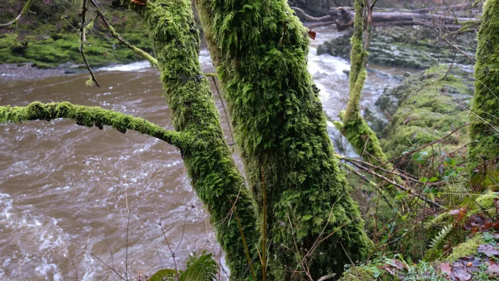
This water needs a real photo
The photo at the top of this page is not Wenatchee River.
It is a regional stand-in, honestly captioned but generic — we will not put a name to a river we cannot prove. Send us a photograph you took here and it replaces the stand-in, with your credit on it.
Pioneer badgeUnclaimed
Add a photo of this water
Landscape, not fish — the water itself. Reviewed by hand before it appears. The first one published here earns the Pioneer badge.
Fished this water? Add a photo
Reviewed by hand before it appears. Pick the water, not the spot — we never publish exact locations.
Access
Lake Wenatchee State Park: the top of the river, camping and lake access.
Tumwater Canyon: Highway 2 pullouts and steep walk-in pocket water.
Leavenworth and the Icicle Creek confluence: town access and the most-fished reaches.
Peshastin: access near the gauge, boat launch and wade water.
Cashmere and Monitor: middle and lower river ramps.
Wenatchee Confluence State Park: the mouth at the Columbia.
Selective gear and catch-and-release rules apply on much of the river; read the pamphlet.
Seasons
March through May: high snowmelt water, limited fishing, peak rafting.
June and July: dropping flows, the start of good trout fishing.
July through September: the main trout season, plus steelhead and salmon openings in years when runs allow.
October through February: fall steelhead in open years, then quiet winter water.
From the water
No logged trips yet. Be the first to put this water on your map.
Log this water
Fished it or cleaned it? Log in or create a free account to log a trip with photos and earn the waterway badge.
Questions
What is the current flow on the Wenatchee River?
As of Oct 19, 3:15 am, the USGS gauge WENATCHEE RIVER AT PESHASTIN, WA reads 329 cfs, the 8th percentile for this date. Conditions update every 15 minutes.
What species can you catch on the Wenatchee River?
Anglers target Bull Trout, Chinook Salmon, Cutthroat Trout, Rainbow Trout, Sockeye Salmon, Steelhead on the Wenatchee River in Washington.
Are there fishing guides on the Wenatchee River?
GuidedFloats lists 1 guide and outfitters on the Wenatchee River. Claimed profiles accept booking requests; unclaimed profiles are built from public records and link to the business.
Where can you access the Wenatchee River?
Lake Wenatchee State Park: the top of the river, camping and lake access. Tumwater Canyon: Highway 2 pullouts and steep walk-in pocket water. Leavenworth and the Icicle Creek confluence: town access and the most-fished reaches. Peshastin: access near the gauge, boat launch and wade water. Cashmere and Monitor: middle and lower river ramps. Wenatchee Confluence State Park: the mouth at the Columbia. Selective gear and catch-and-release rules apply on much of the river; read the pamphlet.
When is the best time to fish the Wenatchee River?
March through May: high snowmelt water, limited fishing, peak rafting. June and July: dropping flows, the start of good trout fishing. July through September: the main trout season, plus steelhead and salmon openings in years when runs allow. October through February: fall steelhead in open years, then quiet winter water.
Where are the fishing regulations for the Wenatchee River?
Regulations change by season and section. Read the current rules on the Washington agency site: https://wdfw.wa.gov/fishing/regulations