Fishes Kansas River
River · Kaw Valley · Kansas
Kansas River Fishing Guides
The Kaw, a wide sand-bottomed prairie river running one hundred and seventy miles from Junction City through Topeka and Lawrence to the Missouri at Kansas City, and the state big-catfish river.
Gauge location. Map data © OpenStreetMap contributors.
Guides on the Kansas River
Claimed profiles take booking requests. Unclaimed profiles are built from public records so the river is never empty; the guide can claim or remove one any time.
About the Kansas River
The Kansas River, universally called the Kaw, forms where the Republican and Smoky Hill meet at Junction City and runs east across the state to the Missouri River at Kansas City. It is a wide, shallow, sand-bottomed prairie river with shifting bars, wing dikes, rock revetment along the banks and a handful of low dams. It is also one of the longest navigable sand-bed rivers in the country and, since a sustained public-access push, a genuinely usable recreational fishery with a chain of ramps along its length.
Catfish define it. Flathead catfish reach serious size in the log jams and deep outside bends, blue catfish have expanded in the lower river toward Kansas City, and channel catfish are everywhere and easy to catch. Beyond the cats, white bass and wipers run in schools below the dams and at the tributary mouths, walleye and sauger are caught in the tailwaters, and there are smallmouth on the rock revetment in the lower reaches. Guided trips are usually catfish trips, run from jon boats out of Lawrence, Eudora or DeSoto.
The DeSoto gauge is the standard reading for the lower river. Because the Kaw drains a huge basin behind several federal reservoirs, its flow is a mix of natural runoff and reservoir releases, and it can change quickly when the Corps changes an outflow upstream. Moderate readings expose the sand bars and make wading the shallow crossings possible; high water covers the bars, colors the river and pushes fish to the banks and the dike ends, which is when the flatheads feed hardest.
Sand bars shift constantly, so run slowly and read the water. Lawrence, Topeka, DeSoto and Bonner Springs are the bases along the lower half.
This water needs a real photo
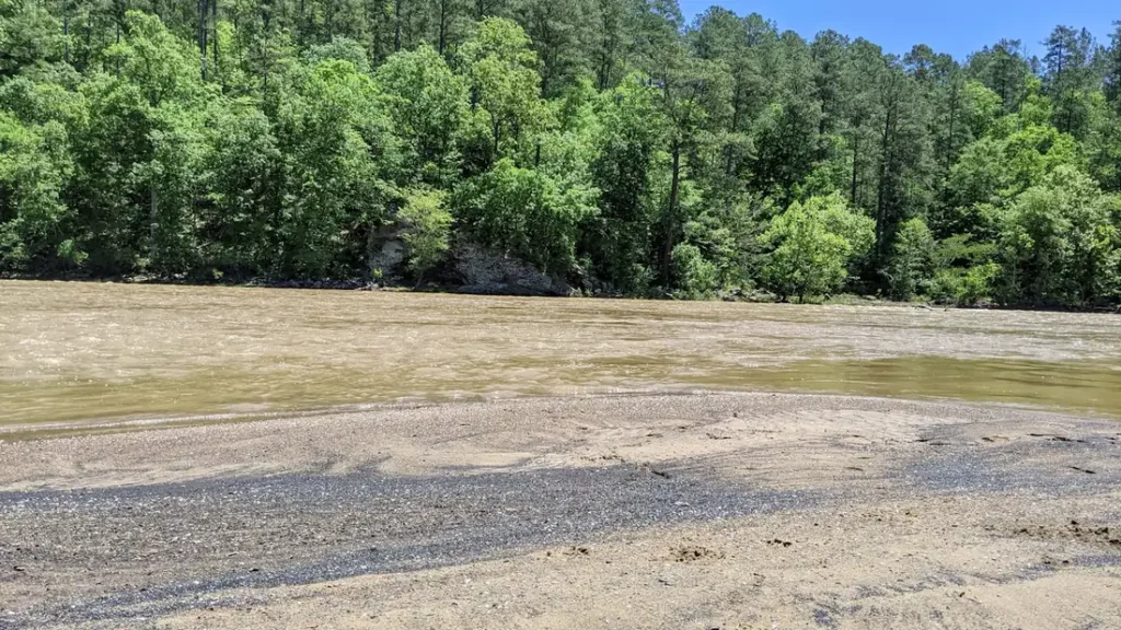
The photo at the top of this page is not Kansas River.
It is a regional stand-in, honestly captioned but generic — we will not put a name to a river we cannot prove. Send us a photograph you took here and it replaces the stand-in, with your credit on it.
Pioneer badgeUnclaimed
Add a photo of this water
Landscape, not fish — the water itself. Reviewed by hand before it appears. The first one published here earns the Pioneer badge.
Fished this water? Add a photo
Reviewed by hand before it appears. Pick the water, not the spot — we never publish exact locations.
Access
DeSoto: ramp at the gauge reach on the lower river.
Eudora and the Wakarusa confluence: lower river access.
Lawrence: Burcham Park and the Bowersock dam tailwater.
Lecompton and Perry: mid-river ramps below Perry Lake.
Topeka: several city ramps and the Shunganunga confluence.
Wamego, St. Marys and Belvue: upper river access above Topeka.
Junction City and Ogden: the headwaters at the Republican and Smoky Hill junction.
Seasons
March and April: white bass and walleye below the dams, high spring water.
May and June: rising water and the best flathead fishing of the year.
July and August: low clear flows, sand bars exposed, channel cats and wading.
September through November: cooling water, blue catfish and a second white bass push.
From the water
No logged trips yet. Be the first to put this water on your map.
Log this water
Fished it or cleaned it? Log in or create a free account to log a trip with photos and earn the waterway badge.
Questions
What is the current flow on the Kansas River?
As of Oct 19, 3:30 am, the USGS gauge KANSAS R AT DESOTO, KS reads 14,900 cfs, the 84th percentile for this date, with water temperature 62.1 F. Conditions update every 15 minutes.
What species can you catch on the Kansas River?
Anglers target Blue Catfish, Channel Catfish, Flathead Catfish, Sauger, Smallmouth Bass, Walleye, White Bass, Wiper on the Kansas River in Kansas.
Are there fishing guides on the Kansas River?
GuidedFloats lists 1 guide and outfitters on the Kansas River. Claimed profiles accept booking requests; unclaimed profiles are built from public records and link to the business.
Where can you access the Kansas River?
DeSoto: ramp at the gauge reach on the lower river. Eudora and the Wakarusa confluence: lower river access. Lawrence: Burcham Park and the Bowersock dam tailwater. Lecompton and Perry: mid-river ramps below Perry Lake. Topeka: several city ramps and the Shunganunga confluence. Wamego, St. Marys and Belvue: upper river access above Topeka. Junction City and Ogden: the headwaters at the Republican and Smoky Hill junction.
When is the best time to fish the Kansas River?
March and April: white bass and walleye below the dams, high spring water. May and June: rising water and the best flathead fishing of the year. July and August: low clear flows, sand bars exposed, channel cats and wading. September through November: cooling water, blue catfish and a second white bass push.
Where are the fishing regulations for the Kansas River?
Regulations change by season and section. Read the current rules on the Kansas agency site: https://ksoutdoors.com/Fishing/Fishing-Regulations