Kinchafoonee Creek Fishing Guides
A southwest Georgia coastal plain creek with a five-hundred-square-mile drainage, running east past Dawson to Lake Chehaw and the Flint River at Albany.
Guides on the Kinchafoonee Creek
Claimed profiles take booking requests. Unclaimed profiles are built from public records so the river is never empty; the guide can claim or remove one any time.
No guides listed yet
Guide or outfit this water? Create your profile. Listing is free, the commission is 10% or 7% with a premium profile, and premium profiles list first on this water.
About the Kinchafoonee Creek
Kinchafoonee Creek is one of the larger tributaries of the lower Flint River, draining more than five hundred square miles of the southwest Georgia coastal plain before it joins Muckalee Creek and the Flint at Lake Chehaw on the edge of Albany. It is blackwater in character through much of its length, tea-stained and slow, running between sand bars and cypress and tupelo swamp, and it holds enough water to be paddled year round. The name is one of the more memorable in the state, and the creek itself is far better known to local anglers than to anyone else.
The gauge at Pinewood Road near Dawson reports discharge and stage, and both readings are about navigability as much as fishing. Coastal plain creeks of this kind rise slowly and fall slowly, holding a flood for days rather than hours, and high water spreads out into the swamp where the current becomes hard to read and log jams shift. Low water is the easier condition, with the creek confined to its channel and the sand bars exposed for landing a boat. The Flint’s own level backs up into the lower reach and should be checked separately.
Largemouth bass are the main quarry and they grow well in the warm productive water. Shoal bass, the Flint system’s prized native, appear where the creek runs over limestone outcrops in the lower reaches, and finding them is the reason serious Georgia anglers come. Redbreast sunfish are abundant and a traditional local target, bluegill and redear fill the panfish, and chain pickerel haunt the swamp margins. Channel and flathead catfish work the deeper holes, and access is by bridge, county road and the Lake Chehaw facilities.
This water needs a real photo
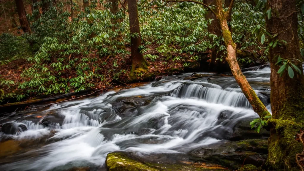
The photo at the top of this page is not Kinchafoonee Creek.
It is a regional stand-in, honestly captioned but generic — we will not put a name to a river we cannot prove. Send us a photograph you took here and it replaces the stand-in, with your credit on it.
Add a photo of this water
Landscape, not fish — the water itself. Reviewed by hand before it appears. The first one published here earns the Pioneer badge.
Fished this water? Add a photo
Reviewed by hand before it appears. Pick the water, not the spot — we never publish exact locations.
Access
Dawson - the Terrell County seat near the gauge and the most direct approach to the middle creek.
Albany - the nearest city, at the Flint confluence, with outfitters, ramps and lodging.
Lake Chehaw - the downstream impoundment at the Flint confluence, with formal boat ramps and day use.
Pinewood Road - the gauge crossing itself, a recognised local access point.
Leesburg - the Lee County seat, an eastern approach to the lower creek.
County road bridges - several crossings between Dawson and Albany give bank access and small put-ins.
Private timberland - much of the corridor is private pine and swamp ground and permission should be sought.
Seasons
Spring: high water spreading into the swamp, with bass and redbreast active as temperatures climb through March and April.
Summer: warm low water, best fished early and late, with catfish after dark and bream on the sand bars.
Fall: falling temperatures and clearing water make October and November the most comfortable and productive months.
Winter: cool and often high after regional rain, with bass holding deep and very little pressure on the creek.
From the water
No logged trips yet. Be the first to put this water on your map.
Log this water
Fished it or cleaned it? Log in or create a free account to log a trip with photos and earn the waterway badge.
Questions
What is the current flow on the Kinchafoonee Creek?
As of Oct 18, 5:45 pm, the USGS gauge KINCHAFOONEE CREEK AT PINEWOOD ROAD, NR DAWSON, GA reads 141 cfs. Conditions update every 15 minutes.
What species can you catch on the Kinchafoonee Creek?
Anglers target Black Crappie, Bluegill, Chain Pickerel, Channel Catfish, Flathead Catfish, Largemouth Bass, Longnose Gar, Redbreast Sunfish, Redear Sunfish, Shoal Bass on the Kinchafoonee Creek in Georgia.
Where can you access the Kinchafoonee Creek?
Dawson - the Terrell County seat near the gauge and the most direct approach to the middle creek. Albany - the nearest city, at the Flint confluence, with outfitters, ramps and lodging. Lake Chehaw - the downstream impoundment at the Flint confluence, with formal boat ramps and day use. Pinewood Road - the gauge crossing itself, a recognised local access point. Leesburg - the Lee County seat, an eastern approach to the lower creek. County road bridges - several crossings between Dawson and Albany give bank access and small put-ins. Private timberland - much of the corridor is private pine and...
When is the best time to fish the Kinchafoonee Creek?
Spring: high water spreading into the swamp, with bass and redbreast active as temperatures climb through March and April. Summer: warm low water, best fished early and late, with catfish after dark and bream on the sand bars. Fall: falling temperatures and clearing water make October and November the most comfortable and productive months. Winter: cool and often high after regional rain, with bass holding deep and very little pressure on the creek.
Where are the fishing regulations for the Kinchafoonee Creek?
Regulations change by season and section. Read the current rules on the Georgia agency site: https://georgiawildlife.com/fishing/regulations