Uinta River Fishing Guides
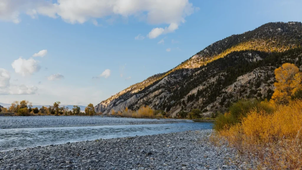
The lower Uinta River crossing the basin at Randlett, a snowmelt river draining the high south slope of the Uintas with trout above and a warmer mixed fishery below.
Guides on the Uinta River
Claimed profiles take booking requests. Unclaimed profiles are built from public records so the river is never empty; the guide can claim or remove one any time.
No guides listed yet
Guide or outfit this water? Create your profile. Listing is free, the commission is 10% or 7% with a premium profile, and premium profiles list first on this water.
About the Uinta River
The Uinta River rises on the south slope of the Uinta Mountains, in the high lake country above Roosevelt, and runs south across the Uinta Basin to meet the Duchesne River. At the Randlett gauge it is draining better than a thousand square miles, and it is a very different river there than it is in the canyon above: the gradient has flattened, the water has warmed, and irrigation withdrawals across the basin have taken a share of the flow. Understanding that split is the key to fishing it, because the Uinta is really two fisheries with a transition zone between them, and the gauge sits well down in the lower one.
In the canyon and the upper river the fishing is for trout, and it is good. Brown trout dominate the lower canyon reaches, rainbows and cutthroat are present through the middle river, and mountain whitefish are abundant and under-appreciated. Brook trout hold in the high tributaries and the lake outlets on the Ashley National Forest ground above. Down on the basin floor near Randlett the river warms through the summer and the community shifts toward channel catfish and carp, with trout holding in the cooler pockets and the tributary mouths. Much of the lower river crosses the Uintah and Ouray Reservation, where tribal permits govern access and anglers must arrange permission in advance rather than assume it.
The gauge reports discharge and stage but not temperature, which on a snowmelt river that is also an irrigation river makes the flow trace essential. The pattern is pronounced: a large May and June runoff peak that makes the river unfishable at its height, a sharp recession through July as the snow runs out and the ditches come on, and a low late-summer baseflow when the lower river gets too warm and thin to be worth fishing. Fish the canyon water during runoff, the whole river through the shoulder seasons, and read the recession carefully before planning anything on the basin floor.
This water needs a real photo
The photo at the top of this page is not Uinta River.
It is a regional stand-in, honestly captioned but generic — we will not put a name to a river we cannot prove. Send us a photograph you took here and it replaces the stand-in, with your credit on it.
Add a photo of this water
Landscape, not fish — the water itself. Reviewed by hand before it appears. The first one published here earns the Pioneer badge.
Fished this water? Add a photo
Reviewed by hand before it appears. Pick the water, not the spot — we never publish exact locations.
Access
Randlett - the basin community at the gauge, on the lower river and the reservation.
Neola - the community at the mouth of the canyon, the usual access for the upper river.
Roosevelt - the largest nearby town, with tackle, lodging and services.
Uinta Canyon - the Ashley National Forest reach above the basin, with the best trout water and campground access.
Fort Duchesne - the reservation administrative centre and the place to arrange tribal fishing permits.
Vernal - the regional centre to the east, with guides, outfitters and the Green River nearby.
Duchesne River confluence - the downstream end of the river, where it joins the larger Duchesne.
Seasons
Spring: rising snowmelt makes the lower river hard and often unfishable, while the canyon above fishes well on the shoulders of the runoff.
Summer: the canyon and upper river carry the fishing as the basin reach warms and thins under irrigation demand.
Fall: the best season, with clear low water, cool temperatures and brown trout feeding hard before spawning in the canyon reaches.
Winter: cold and quiet, with the upper river largely inaccessible and the lower river fished only on mild days.
From the water
No logged trips yet. Be the first to put this water on your map.
Log this water
Fished it or cleaned it? Log in or create a free account to log a trip with photos and earn the waterway badge.
Questions
What is the current flow on the Uinta River?
As of Nov 2, 7:45 am, the USGS gauge UINTA RIVER AT RANDLETT, UT reads 1,140 cfs. Conditions update every 15 minutes.
What species can you catch on the Uinta River?
Anglers target Brook Trout, Brown Trout, Carp, Channel Catfish, Cutthroat Trout, Mountain Whitefish, Rainbow Trout on the Uinta River in Utah.
Where can you access the Uinta River?
Randlett - the basin community at the gauge, on the lower river and the reservation. Neola - the community at the mouth of the canyon, the usual access for the upper river. Roosevelt - the largest nearby town, with tackle, lodging and services. Uinta Canyon - the Ashley National Forest reach above the basin, with the best trout water and campground access. Fort Duchesne - the reservation administrative centre and the place to arrange tribal fishing permits. Vernal - the regional centre to the east, with guides, outfitters and the Green River nearby. Duchesne River confluence - the downstream e...
When is the best time to fish the Uinta River?
Spring: rising snowmelt makes the lower river hard and often unfishable, while the canyon above fishes well on the shoulders of the runoff. Summer: the canyon and upper river carry the fishing as the basin reach warms and thins under irrigation demand. Fall: the best season, with clear low water, cool temperatures and brown trout feeding hard before spawning in the canyon reaches. Winter: cold and quiet, with the upper river largely inaccessible and the lower river fished only on mild days.
Where are the fishing regulations for the Uinta River?
Regulations change by season and section. Read the current rules on the Utah agency site: https://wildlife.utah.gov/guidebooks.html