Fishes West Branch Delaware River
Tailwater · Catskills · New York
West Branch Delaware River Fishing Guides
Cold Cannonsville tailwater with large, selective wild browns and rainbows, floated by drift boat from Deposit down to Hancock and fished with matching dry flies to legendary hatches.
Map of the West Branch Delaware River
17 numbered points: 6 access points, 1 bait & fly shop, 4 outfitters, 1 bridge, 1 park or conservation area, 2 regulation section limits, 1 hazard, 1 USGS gauge. Tap a marker for details. Reviewed Sep 21, 2026.
- Access / boat ramp (6)
- Bait, tackle & fly shop (1)
- Outfitter / canoe rental (4)
- Bridge crossing (1)
- Park / conservation area (1)
- Regulation section limit (2)
- Dam / hazard (1)
- USGS gauge (1)
Map data © OpenStreetMap contributors. Points are curated from OpenStreetMap and state agency sources; confirm access and hours before you go.
Print it. Bag it. Bring it.Phones die, screens crack, and most of this water has no signal. Print this map, fold it into a zip-top bag or dry bag with your license, and you have a backup your electronics can’t give you. Every marker is numbered so you can say exactly where you are.
Open the printable mapAll 17 points on this map
| # | Point | Type | Lat, Lon | Notes |
|---|---|---|---|---|
| 1 | Cannonsville Dam NYC water-supply dam (Cannonsville Reservoir) | Dam / hazard | 42.06574, -75.37639 | The bottom-release dam that creates the West Branch tailwater. Cold water drawn from deep in Cannonsville Reservoir keeps the river trout-cold through summer. No passage; the fishery begins below it. |
| 2 | Lower West Branch Fishing Access (Stilesville) NYSDEC access - bank fishing, no boat launch | Access / boat ramp | 42.07981, -75.40169 | NYSDEC access on the uppermost tailwater at Stilesville. DEC prohibits launching boats here (July 2026 notice) - it is a walk-in bank site. Float trips put in downstream at Deposit or Hale Eddy. |
| 3 | Main Street bridge Deposit village crossing | Bridge crossing | 42.06570, -75.41506 | The main road crossing through Deposit, between the dam and the Route 17 bridge. A roadside look at the water in the village. |
| 4 | Catch-and-Release reach - upper limit NY Route 17 bridge at Deposit | Regulation section limit | 42.05484, -75.42280 | Upper end of DEC's two-mile Catch-and-Release reach, at the Route 17 (NY 17) bridge in Deposit. Wild Premier water lies above here up to the Stilesville Weir. Rules on DEC's page, not here. |
| 5 | Airport Road Access NYSDEC fishing access, Deposit | Access / boat ramp | 42.04475, -75.42019 | State fishing and float access off Airport Road below Deposit, a common upper put-in for the Wild Premier and Catch-and-Release water. |
| 6 | River Road Boat Launch NYSDEC hand-launch | Access / boat ramp | 42.03557, -75.41422 | Boat and hand launch off River Road, the next access below Airport Road. Within DEC's Catch-and-Release reach. |
| 7 | Catch-and-Release reach - lower limit Two miles below the Route 17 bridge | Regulation section limit | 42.02978, -75.40997 | Lower end of DEC's Catch-and-Release reach, placed by walking two miles down the centreline from the Route 17 bridge. Wild Premier water resumes below here to the NY/PA border. Rules on DEC's page. |
| 8 | Hale Eddy Access NYSDEC access at the Hale Eddy bridge | Access / boat ramp | 42.00307, -75.38382 | The main mid-river float access, at the Hale Eddy (Sherman Creek Road) bridge and beside the USGS gauge. A popular take-out for the upper float and put-in for the lower. |
| 9 | USGS gauge 01426500 - West Branch Delaware River at Hale Eddy The tailwater's index gauge | USGS gauge | 42.00303, -75.38353 | The flow and temperature gauge guides read before floating the West Branch. Cannonsville release drives it; check it against DEC's release schedule. |
| 10 | West Branch Angler Resort & Fly Shop Fly shop, lodge & guides | Outfitter / canoe rental | 42.00717, -75.36571 | Fly shop, lodge and guide service on the upper tailwater near Hale Eddy - a hub for West Branch anglers, with drift-boat guides and current-flow advice. |
| 11 | Balls Eddy Access PA Fish & Boat Commission access | Access / boat ramp | 41.96815, -75.33821 | Major float access on the Pennsylvania bank at Balls Eddy, with a ramp and parking - the mid-river put-in and take-out for the lower West Branch. |
| 12 | Delaware River Club Fly Fishing Resort Fly shop, lodge & guides | Outfitter / canoe rental | 41.94786, -75.30657 | Fly-fishing lodge, shop and guide service on the lower West Branch above Hancock, long a base for float trips on the West and main-stem Delaware. |
| 13 | Robert W Nichol Nature Preserve Nature preserve, Hancock | Park / conservation area | 41.95662, -75.28941 | Riverside nature preserve and science center at Hancock with trails to the bank, near where the West Branch meets the East Branch. |
| 14 | Marino's Outdoor Sports Tackle & sporting goods, Hancock | Bait, tackle & fly shop | 41.95431, -75.28009 | General sporting-goods and tackle store in Hancock, the town at the junction of the two branches. About 0.9 km off the water. |
| 15 | OAR Kayak Rentals Kayak & canoe rental, Hancock | Outfitter / canoe rental | 41.95321, -75.29053 | Paddle-craft rental in Hancock for the lower West Branch and the main-stem Delaware below the junction. |
| 16 | Cross Current Outfitters Outfitter & guides, Hancock | Outfitter / canoe rental | 41.94133, -75.28970 | Outfitter and guide service at Hancock, close to Junction Pool and the start of the main-stem Delaware. |
| 17 | Junction Pool Access Confluence with the East Branch, Hancock | Access / boat ramp | 41.93506, -75.27732 | Access at Junction Pool, where the West Branch meets the East Branch to form the main-stem Delaware - the bottom of the West Branch float and a famous piece of water. |
Guides on the West Branch Delaware River
Claimed profiles take booking requests. Unclaimed profiles are built from public records so the river is never empty; the guide can claim or remove one any time.
About the West Branch Delaware River
Cold Cannonsville tailwater with large, selective wild browns and rainbows, floated by drift boat from Deposit down to Hancock and fished with matching dry flies to legendary hatches.
This water needs a real photo
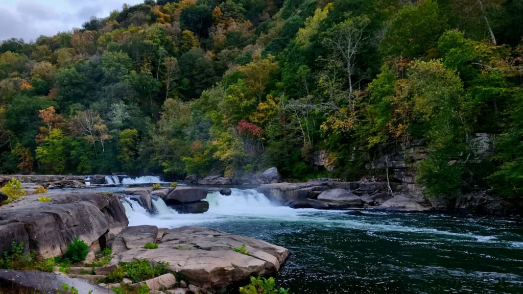
The photo at the top of this page is not West Branch Delaware River.
It is a regional stand-in, honestly captioned but generic — we will not put a name to a river we cannot prove. Send us a photograph you took here and it replaces the stand-in, with your credit on it.
Pioneer badgeUnclaimed
Add a photo of this water
Landscape, not fish — the water itself. Reviewed by hand before it appears. The first one published here earns the Pioneer badge.
Fished this water? Add a photo
Reviewed by hand before it appears. Pick the water, not the spot — we never publish exact locations.
From the water
No logged trips yet. Be the first to put this water on your map.
Log this water
Fished it or cleaned it? Log in or create a free account to log a trip with photos and earn the waterway badge.
Questions
What is the current flow on the West Branch Delaware River?
As of Oct 18, 5:45 pm, the USGS gauge WEST BRANCH DELAWARE RIVER AT HALE EDDY NY reads 331 cfs, the 35th percentile for this date, with water temperature 53.8 F. Conditions update every 15 minutes.
What species can you catch on the West Branch Delaware River?
Anglers target Brown Trout, Rainbow Trout on the West Branch Delaware River in New York.
Are there fishing guides on the West Branch Delaware River?
GuidedFloats lists 5 guides and outfitters on the West Branch Delaware River. Claimed profiles accept booking requests; unclaimed profiles are built from public records and link to the business.
Where are the fishing regulations for the West Branch Delaware River?
Regulations change by season and section. Read the current rules on the New York agency site: https://dec.ny.gov/things-to-do/freshwater-fishing/regulations