Choctawhatchee River Fishing Guides
A free-flowing wiregrass river with white sandbars and deep bends, fished from Alabama down toward the panhandle for bass, bream and heavy catfish.
Guides on the Choctawhatchee River
Claimed profiles take booking requests. Unclaimed profiles are built from public records so the river is never empty; the guide can claim or remove one any time.
No guides listed yet
Guide or outfit this water? Create your profile. Listing is free, the commission is 10% or 7% with a premium profile, and premium profiles list first on this water.
About the Choctawhatchee River
The Choctawhatchee is southeast Alabama’s river. It forms in the wiregrass country around Barbour and Dale counties, runs south past Newton and Geneva, crosses into the Florida panhandle and finishes in Choctawhatchee Bay near Fort Walton Beach. There is no dam on the mainstem, and that shows in everything about it: white sand bars on the inside of every bend, deep scoured holes on the outside, standing cypress along the banks and a broad bottomland hardwood floodplain that the river uses freely when it rises. The water carries a light sand-and-tannin stain rather than the black tea of the true coastal plain blackwater rivers.
The fishing is a southern river mix and it is good year-round for someone who reads the stage. Largemouth and spotted bass work the laydowns, the sandbar drops and the mouths of the sloughs. Redbreast sunfish and bluegill are the summer staple and are taken on popping bugs and crickets against the cut banks. The catfishing is the river’s quiet strength, with channel cats through the system, blues in the lower reaches and flatheads in the deep bends that reach real size. Bowfin and gar are everywhere. Striped bass use the lower river and the bay system in Florida. Most fishing is done from jon boats and kayaks launched at the county landings, and sandbar camping is common through the summer.
The gauge near Newton reads the upper river and is the practical go or no-go tool. This is a rain-driven system with no storage upstream, so a heavy wiregrass thunderstorm system can lift the river into the floodplain within a day and scatter fish across flooded timber, while a dry summer drops it low enough that the sandbars become obstacles rather than campsites. The condition to look for is a falling stage that pulls fish back to the channel. There is no temperature sensor at this site.
This water needs a real photo
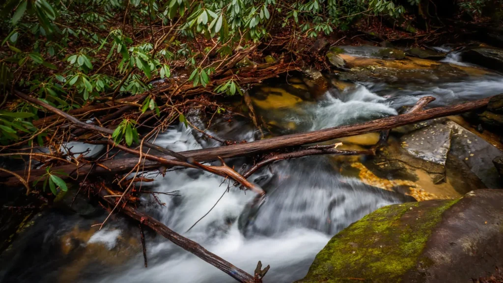
The photo at the top of this page is not Choctawhatchee River.
It is a regional stand-in, honestly captioned but generic — we will not put a name to a river we cannot prove. Send us a photograph you took here and it replaces the stand-in, with your credit on it.
Add a photo of this water
Landscape, not fish — the water itself. Reviewed by hand before it appears. The first one published here earns the Pioneer badge.
Fished this water? Add a photo
Reviewed by hand before it appears. Pick the water, not the spot — we never publish exact locations.
Access
Newton area bridge crossing - the closest public access to the gauge.
County landings near Geneva - the main mid-river boat launches.
Highway 52 crossing near Geneva - bridge and bank access.
Ellis Landing area - a well-known launch on the lower Alabama reach.
Choctawhatchee River WMA access points - walk-in bottomland access.
Highway 84 crossing near Newton - roadside bank fishing.
Pea River confluence near Geneva - access at the major tributary junction.
Seasons
Spring: rising water and strong bass fishing as fish move shallow along the cut banks.
Summer: low and clear with sandbar camping and the best bream fishing of the year.
Fall: cooling water, good bass and catfish action and very light river traffic.
Winter: high and cold, with catfish and crappie the most reliable targets.
From the water
No logged trips yet. Be the first to put this water on your map.
Log this water
Fished it or cleaned it? Log in or create a free account to log a trip with photos and earn the waterway badge.
Questions
What is the current flow on the Choctawhatchee River?
As of Sep 17, 5:30 am, the USGS gauge CHOCTAWHATCHEE RIVER NEAR NEWTON, AL. reads 105 cfs. Conditions update every 15 minutes.
What species can you catch on the Choctawhatchee River?
Anglers target Black Crappie, Blue Catfish, Bluegill, Bowfin, Channel Catfish, Flathead Catfish, Largemouth Bass, Longnose Gar, Redbreast Sunfish, Spotted Bass, Striped Bass, Warmouth on the Choctawhatchee River in Alabama.
Where can you access the Choctawhatchee River?
Newton area bridge crossing - the closest public access to the gauge. County landings near Geneva - the main mid-river boat launches. Highway 52 crossing near Geneva - bridge and bank access. Ellis Landing area - a well-known launch on the lower Alabama reach. Choctawhatchee River WMA access points - walk-in bottomland access. Highway 84 crossing near Newton - roadside bank fishing. Pea River confluence near Geneva - access at the major tributary junction.
When is the best time to fish the Choctawhatchee River?
Spring: rising water and strong bass fishing as fish move shallow along the cut banks. Summer: low and clear with sandbar camping and the best bream fishing of the year. Fall: cooling water, good bass and catfish action and very light river traffic. Winter: high and cold, with catfish and crappie the most reliable targets.
Where are the fishing regulations for the Choctawhatchee River?
Regulations change by season and section. Read the current rules on the Alabama agency site: https://www.outdooralabama.com/fishing/freshwater-fishing-creel-and-size-limits