Fishes Salt River
River · Central Arizona · Arizona
Salt River Fishing Guides
The Salt River Canyon float below the White Mountains, a spring whitewater and smallmouth run through Sonoran desert and saguaro to Roosevelt Lake.
Map of the Salt River
19 numbered points: 3 access points, 3 campsites, 2 bridges, 2 regulation section limits, 6 hazards, 1 USGS gauge, 2 points of interest. Tap a marker for details. Reviewed Sep 25, 2026.
- Access / boat ramp (3)
- Campsite (3)
- Bridge crossing (2)
- Regulation section limit (2)
- Dam / hazard (6)
- USGS gauge (1)
- Point of interest (2)
Map data © OpenStreetMap contributors. Points are curated from OpenStreetMap and state agency sources; confirm access and hours before you go.
Print it. Bag it. Bring it.Phones die, screens crack, and most of this water has no signal. Print this map, fold it into a zip-top bag or dry bag with your license, and you have a backup your electronics can’t give you. Every marker is numbered so you can say exactly where you are.
Open the printable mapAll 19 points on this map
| # | Point | Type | Lat, Lon | Notes |
|---|---|---|---|---|
| 1 | Apache Falls - upstream limit of boating White Mountain Apache Tribe closure | Regulation section limit | 33.79844, -110.50066 | Tribal rules close the Salt to boating above Apache Falls, which the Tonto National Forest permit page places a quarter mile above the Highway 60 bridge. Marker set that distance up the mapped centreline; no coordinate is published. |
| 2 | US 60 / AZ 77 bridge, Salt River Canyon Globe-Show Low Highway | Bridge crossing | 33.79784, -110.50424 | The float starts here. The permit put-in is First Campground on Apache Road 1, river right just downstream of the bridge; no coordinate is published for the campground and OSM does not carry it. |
| 3 | Salt River Canyon Rest Area ADOT - restrooms and drinking water | Point of interest | 33.79726, -110.50281 | Highway rest area at the put-in bridge, on the canyon rim road. Last reliable water and toilets before a four- or five-day canyon trip; there is no cell service below here. |
| 4 | Second Campground Apache Road 1 - tribal land | Campsite | 33.82668, -110.54582 | Riverside campground about 5.7 river miles below the put-in, on the White Mountain Apache bank. A tribal permit covers this reach in addition to the Forest Service boater permit. |
| 5 | Cibecue Crossing Ford on Reservation Road | Access / boat ramp | 33.83813, -110.55617 | Where the tribal Reservation Road fords the Salt, just below the Cibecue Creek mouth. A vehicle touch-point rather than a ramp, and on permit-only White Mountain Apache land. |
| 6 | Hoodoo Access Unpaved track - tribal land | Access / boat ramp | 33.83548, -110.58282 | OSM maps this as a track running down to the river rather than a developed ramp. Reaching it crosses White Mountain Apache land, so it is a permit road, not a public put-in. |
| 7 | Salt Bank Campground River right - tribal land | Campsite | 33.83175, -110.59530 | Riverside campground on the reach that passes the Salt Banks mineral springs. The springs themselves sit on White Mountain Apache land and are not a public stop. |
| 8 | Lower limit of the White Mountain Apache permit reach About 29 river miles below the put-in | Regulation section limit | 33.69770, -110.74433 | The Tonto National Forest permit page puts the tribal stretch at roughly 29 miles downstream of First Campground. Marker set at that distance along the mapped centreline; the tribe publishes no coordinate. |
| 9 | The Maze Rapid Named rapid - GNIS | Dam / hazard | 33.69227, -110.74539 | Head of the canyon's busiest mile. The Forest Service calls the run a solid Class III-IV overall, with a few rapids approaching Class V at low water. |
| 10 | Quartzite Rapids Named rapid - GNIS | Dam / hazard | 33.67763, -110.75548 | Second of the five named drops mapped in the Maze reach, inside about half a river mile of each other. |
| 11 | Corkscrew Rapid Named rapid - GNIS | Dam / hazard | 33.67816, -110.75724 | Mapped within metres of Lower Corral; the two read as one continuous drop on the water. |
| 12 | Lower Corral Rapid Named rapid - GNIS | Dam / hazard | 33.67810, -110.75717 | Mapped within metres of Corkscrew; the two read as one continuous drop on the water. |
| 13 | The Sleeper Rapid Named rapid - GNIS | Dam / hazard | 33.67977, -110.75872 | Last of the named drops in the Maze reach before the river swings past Jump Off Canyon. |
| 14 | Jump Off Canyon Side canyon mouth | Point of interest | 33.68222, -110.76498 | GNIS locality at a side-canyon mouth. There are no trails in the Salt River Canyon Wilderness, but the Forest Service notes the side canyons make the best layover walks. |
| 15 | Cliff Hanger Rapid Named rapid - GNIS | Dam / hazard | 33.67005, -110.78067 | The last rapid OSM carries a name for, about 2.4 river miles below the Maze cluster. |
| 16 | Bumble Bridge (AZ 288) Globe-Young Highway | Bridge crossing | 33.61943, -110.92176 | The take-out bridge. The permitted run ends 52.3 river miles below First Campground, river left just downstream of this crossing. |
| 17 | USGS 09498500 - Salt River near Roosevelt USGS streamgage at the take-out | USGS gauge | 33.61917, -110.92208 | The gauge at the AZ 288 bridge. Boaters also watch 09497500 Salt River near Chrysotile at the put-in; this sheet maps one gauge, the water page's own. |
| 18 | Salt River Rafter Boat Ramp Tonto NF - concrete ramp, FR 3778 | Access / boat ramp | 33.61936, -110.92277 | The take-out for the Salt River Canyon Wilderness run, river left just below the AZ 288 bridge. Motors are prohibited in the wilderness upstream. |
| 19 | Raftzer Take-Out Dispersed USFS dispersed site | Campsite | 33.61877, -110.92831 | Dispersed Forest Service camping beside the take-out road - the usual de-rig or last-night spot. Four other dispersed sites lie further out along FR 3396 and FR 396. |
Guides on the Salt River
Claimed profiles take booking requests. Unclaimed profiles are built from public records so the river is never empty; the guide can claim or remove one any time.
About the Salt River
The Upper Salt River Canyon is Arizona’s great wilderness float, and it exists only in spring. Snowmelt off the White Mountains and the Fort Apache lands fills the river from March into May, and boaters run the fifty-two miles from the Highway 60 bridge down to Roosevelt Lake through a canyon of saguaro, ocotillo and thousand-foot walls, with class III and IV rapids and no road access for most of it. By June the water is usually gone.
Fishing is smallmouth bass first, with largemouth and catfish in the slower water and, in the cold months in the upper reaches, rainbow trout. The smallmouth fishing on a spring float is genuinely good, worked along the eddy lines and rock gardens between rapids, and almost nobody comes here specifically to fish. Below Roosevelt Lake the Lower Salt through Mesa is a different, heavily used recreation river with stocked trout in winter and tubing crowds in summer.
The Roosevelt gauge tells you whether the trip is on. Late-summer readings are often only a few dozen cfs, which is a dry riverbed by float standards. The window opens when snowmelt or a big winter storm pushes it into the several hundreds or thousands, and outfitters watch that number all winter. Permits are required for the canyon, and the White Mountain Apache Tribe controls access on the north bank.
Globe and Show Low are the closest towns, and Phoenix is about two hours from the put-in. This is a trip to book in advance in a good snow year and to skip entirely in a dry one.
This water needs a real photo
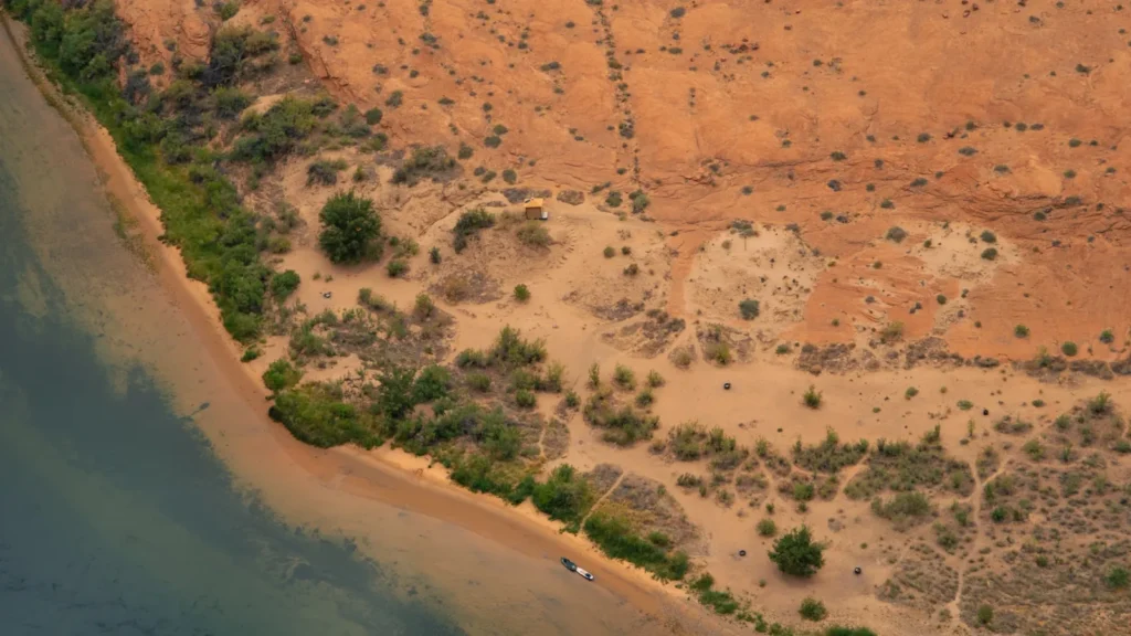
The photo at the top of this page is not Salt River.
It is a regional stand-in, honestly captioned but generic — we will not put a name to a river we cannot prove. Send us a photograph you took here and it replaces the stand-in, with your credit on it.
Pioneer badgeUnclaimed
Add a photo of this water
Landscape, not fish — the water itself. Reviewed by hand before it appears. The first one published here earns the Pioneer badge.
Fished this water? Add a photo
Reviewed by hand before it appears. Pick the water, not the spot — we never publish exact locations.
Access
Highway 60 Bridge near Carrizo: the standard put-in for the canyon float.
Salt Banks: tribal land access; a permit from the White Mountain Apache Tribe is required.
Horseshoe Bend and Gleason Flat: mid-canyon camps reachable only by boat.
Roosevelt Lake: the takeout at the bottom of the canyon, near the gauge.
Lower Salt River Recreation Area, Mesa: year-round road-accessible water below the lakes.
Permits are required for the Upper Salt; check current tribal and Forest Service rules.
Seasons
March through May: the float season, dictated entirely by snowmelt.
April: usually the best combination of flow, weather and fishing.
June through October: the upper canyon is too low to float; the lower river below Roosevelt still fishes.
November through February: winter trout stocking on the Lower Salt near Phoenix.
From the water
No logged trips yet. Be the first to put this water on your map.
Log this water
Fished it or cleaned it? Log in or create a free account to log a trip with photos and earn the waterway badge.
Questions
What is the current flow on the Salt River?
As of Oct 19, 3:30 am, the USGS gauge SALT RIVER NEAR ROOSEVELT, AZ reads 474 cfs, the 78th percentile for this date. Conditions update every 15 minutes.
What species can you catch on the Salt River?
Anglers target Channel Catfish, Flathead Catfish, Largemouth Bass, Rainbow Trout, Smallmouth Bass on the Salt River in Arizona.
Are there fishing guides on the Salt River?
GuidedFloats lists 1 guide and outfitters on the Salt River. Claimed profiles accept booking requests; unclaimed profiles are built from public records and link to the business.
Where can you access the Salt River?
Highway 60 Bridge near Carrizo: the standard put-in for the canyon float. Salt Banks: tribal land access; a permit from the White Mountain Apache Tribe is required. Horseshoe Bend and Gleason Flat: mid-canyon camps reachable only by boat. Roosevelt Lake: the takeout at the bottom of the canyon, near the gauge. Lower Salt River Recreation Area, Mesa: year-round road-accessible water below the lakes. Permits are required for the Upper Salt; check current tribal and Forest Service rules.
When is the best time to fish the Salt River?
March through May: the float season, dictated entirely by snowmelt. April: usually the best combination of flow, weather and fishing. June through October: the upper canyon is too low to float; the lower river below Roosevelt still fishes. November through February: winter trout stocking on the Lower Salt near Phoenix.
Where are the fishing regulations for the Salt River?
Regulations change by season and section. Read the current rules on the Arizona agency site: https://www.azgfd.com/fishing-2/licenses-and-regulations/