Natchaug River Fishing Guides
A forested eastern Connecticut trout river running out of the Natchaug State Forest to Willimantic, with a long-established fly-fishing-only reach.
Guides on the Natchaug River
Claimed profiles take booking requests. Unclaimed profiles are built from public records so the river is never empty; the guide can claim or remove one any time.
No guides listed yet
Guide or outfit this water? Create your profile. Listing is free, the commission is 10% or 7% with a premium profile, and premium profiles list first on this water.
About the Natchaug River
The Natchaug River rises in the wooded hills of eastern Connecticut, gathers the Still and Bigelow brooks in the Natchaug State Forest, and runs south to join the Willimantic at Willimantic to form the Shetucket. It is not a large river, but it is one of the better-regarded trout waters in the eastern half of the state and it has the advantage of running through public forest for much of its upper length.
The gauge at Willimantic reports stage and discharge near the bottom of the river. Eastern Connecticut is a freestone landscape, so the Natchaug responds quickly to rain and just as quickly drops back, and it can run genuinely low and warm in a dry August. Discharge is therefore the key planning number in two directions: too high after a storm and the river is unfishable, too low in late summer and the water warms to the point where trout should be left alone. Reading the trend, rather than a single value, is what tells you which situation you are heading into.
Trout are the main fishery. The river is stocked with browns, rainbows and brook trout, holdover fish are common in the deeper pools, and wild brook trout persist in the colder feeder brooks up in the forest. Connecticut has maintained a fly-fishing-only management area on the river for many years, which concentrates the more serious trout angling and is the reach most visiting fly anglers seek out. Below that, as the river warms and slows toward Willimantic, smallmouth bass, rock bass and pickerel become the realistic targets.
Access is good and largely public in the upper reaches, through Natchaug State Forest and the Airline State Park Trail. Connecticut’s regulations include specific area rules and seasonal dates on this river, so the current book is worth consulting before a trip.
This water needs a real photo
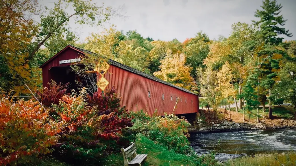
The photo at the top of this page is not Natchaug River.
It is a regional stand-in, honestly captioned but generic — we will not put a name to a river we cannot prove. Send us a photograph you took here and it replaces the stand-in, with your credit on it.
Add a photo of this water
Landscape, not fish — the water itself. Reviewed by hand before it appears. The first one published here earns the Pioneer badge.
Fished this water? Add a photo
Reviewed by hand before it appears. Pick the water, not the spot — we never publish exact locations.
Access
Natchaug State Forest - the public forest the upper river runs through, with roads, parking and wide bank access.
Willimantic - the gauge location at the river's mouth, the nearest town for tackle, food and lodging.
Diana's Pool - a well-known series of ledge pools on the lower river, a popular and scenic access point.
Airline State Park Trail - the rail-trail crossing the valley, giving walking access to otherwise awkward water.
Still River - the main upper tributary, colder and smaller, holding wild brook trout.
Mount Hope River - a neighbouring trout stream joining nearby, the usual alternative when the Natchaug is low.
Shetucket River - the larger river formed at Willimantic, offering smallmouth and shad downstream.
Seasons
Spring: the strongest season, with stocking, good flows, active hatches and the best trout fishing of the year.
Summer: low and warm in dry years, when trout should be left alone and smallmouth fished in the lower river.
Fall: flows recover with autumn rain, trout fishing returns, and the forest reaches are at their best.
Winter: cold and slow, with limited fishing, though the lower river stays open and holds fish.
From the water
No logged trips yet. Be the first to put this water on your map.
Log this water
Fished it or cleaned it? Log in or create a free account to log a trip with photos and earn the waterway badge.
Questions
What is the current flow on the Natchaug River?
As of Oct 18, 4:30 pm, the USGS gauge NATCHAUG RIVER AT WILLIMANTIC, CT reads 123 cfs. Conditions update every 15 minutes.
What species can you catch on the Natchaug River?
Anglers target American Eel, Brook Trout, Brown Trout, Chain Pickerel, Fallfish, Largemouth Bass, Rainbow Trout, Rock Bass, Smallmouth Bass, White Sucker, Yellow Perch on the Natchaug River in Connecticut.
Where can you access the Natchaug River?
Natchaug State Forest - the public forest the upper river runs through, with roads, parking and wide bank access. Willimantic - the gauge location at the river's mouth, the nearest town for tackle, food and lodging. Diana's Pool - a well-known series of ledge pools on the lower river, a popular and scenic access point. Airline State Park Trail - the rail-trail crossing the valley, giving walking access to otherwise awkward water. Still River - the main upper tributary, colder and smaller, holding wild brook trout. Mount Hope River - a neighbouring trout stream joining nearby, the usual alterna...
When is the best time to fish the Natchaug River?
Spring: the strongest season, with stocking, good flows, active hatches and the best trout fishing of the year. Summer: low and warm in dry years, when trout should be left alone and smallmouth fished in the lower river. Fall: flows recover with autumn rain, trout fishing returns, and the forest reaches are at their best. Winter: cold and slow, with limited fishing, though the lower river stays open and holds fish.
Where are the fishing regulations for the Natchaug River?
Regulations change by season and section. Read the current rules on the Connecticut agency site: https://portal.ct.gov/deep/fishing/fishing-in-connecticut