Priest River Fishing Guides
A forty-mile Panhandle river connecting Priest Lake to the Pend Oreille, with westslope cutthroat above and a warmwater smallmouth fishery in the slow lower reach.
Map of the Priest River
9 numbered points: 3 access points, 1 campsite, 2 parks and conservation areas, 1 agency office, 1 hazard, 1 USGS gauge. Tap a marker for details. Reviewed Sep 15, 2026.
- Access / boat ramp (3)
- Campsite (1)
- Park / conservation area (2)
- Agency / conservation office (1)
- Dam / hazard (1)
- USGS gauge (1)
Print it. Bag it. Bring it.Phones die, screens crack, and most of this water has no signal. Print this map, fold it into a zip-top bag or dry bag with your license, and you have a backup your electronics can’t give you. Every marker is numbered so you can say exactly where you are.
Open the printable mapAll 9 points on this map
| # | Point | Type | Lat, Lon | Notes |
|---|---|---|---|---|
| 1 | Boat ramp at the Priest Lake outlet Unnamed in OpenStreetMap · two ramps 25 m apart | Access / boat ramp | 48.49106, -116.90196 | The uppermost launch on the Lower Priest, at the Priest Lake outlet above Coolin. |
| 2 | Priest River Raft Slide Raft slide at the Priest Lake outlet | Access / boat ramp | 48.48869, -116.90885 | Carry-down slide beside the outlet works; the usual start for the upper float. |
| 3 | Pataky's Bench Riverside park above Chipmunk Rapids | Park / conservation area | 48.42565, -116.90738 | Small county park on the left bank, roughly four river miles below the outlet. |
| 4 | Chipmunk Rapids Named rapid on the Lower Priest | Dam / hazard | 48.42271, -116.90941 | The one named rapid on the reach, immediately below Pataky's Bench. |
| 5 | USGS 12395000 — Priest River near Priest River USGS streamgage | USGS gauge | 48.20852, -116.91464 | Read the gauge before you go; it is the river's only real-time flow reference. |
| 6 | Priest River Visitor Center Tourist information · US 2 in Priest River | Agency / conservation office | 48.17983, -116.90782 | OSM records this node in lowercase as 'visitor center'. |
| 7 | Priest River Campgrounds Serviced campground · about 20 caravan sites | Campsite | 48.17931, -116.88898 | |
| 8 | Priest River Park City park at the Pend Oreille confluence | Park / conservation area | 48.17908, -116.88992 | |
| 9 | Boat ramp by Priest River Park Unnamed slipway · left bank near the confluence | Access / boat ramp | 48.17784, -116.89259 | The take-out for the whole river; unnamed in OpenStreetMap, 250 m from the city park node. |
Guides on the Priest River
Claimed profiles take booking requests. Unclaimed profiles are built from public records so the river is never empty; the guide can claim or remove one any time.
No guides listed yet
Guide or outfit this water? Create your profile. Listing is free, the commission is 10% or 7% with a premium profile, and premium profiles list first on this water.
About the Priest River
The Priest River leaves the outlet of Priest Lake and runs roughly forty miles south through timbered Panhandle country to meet the Pend Oreille River at the town that shares its name. It is a working river in an old logging landscape, paralleled for much of its length by Highway 57 and by forest roads, which makes it one of the more accessible trout rivers in northern Idaho. The upper reach below the lake outlet is cold, freestone and quick; the lower reach slows, widens and warms considerably as it approaches the Pend Oreille.
That gradient is the whole story of the fishery. Through the upper and middle river, westslope cutthroat are the native fish and the main target, with rainbows and the occasional brown mixed in and mountain whitefish present throughout. Bull trout use the system and are strictly catch-and-release in Idaho; they are large, they will take a streamer meant for something else, and anglers should be prepared to handle one properly and quickly. In the slow lower miles the character flips entirely and smallmouth bass become the practical summer fishery, especially in the backwater influenced by the Pend Oreille.
The river is snowmelt-driven and unregulated below the lake outlet, so it runs hard and dirty from late April into June and then drops into a long, clear, low summer. August flows can get thin enough that the upper reach is better fished early and late in the day, and anglers should watch water temperature and avoid playing trout hard in the heat. This gauge near the town of Priest River reads the bottom of the system, close to the confluence, and reports discharge and stage without a temperature series. Guiding pressure here is light compared with the lake above, which is a large part of the appeal.
This water needs a real photo
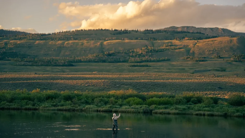
The photo at the top of this page is not Priest River.
It is a regional stand-in, honestly captioned but generic — we will not put a name to a river we cannot prove. Send us a photograph you took here and it replaces the stand-in, with your credit on it.
Add a photo of this water
Landscape, not fish — the water itself. Reviewed by hand before it appears. The first one published here earns the Pioneer badge.
Fished this water? Add a photo
Reviewed by hand before it appears. Pick the water, not the spot — we never publish exact locations.
Access
Priest River Recreation Area at the confluence - the closest access to the gauge, with camping and a launch.
Highway 2 bridge in the town of Priest River - bank access and parking near the mouth.
Dickensheet Campground near Coolin - upper-river access below the Priest Lake outlet.
Eightmile Island access off Highway 57 - middle-river put-in for a summer float.
Binarch Creek road crossings - forest-road walk-in access to the middle reach.
Outlet Bay at Priest Lake - the head of the system and a common upper put-in.
McAbee Falls area pull-offs on Highway 57 - roadside access to the faster upper water.
Seasons
Spring: heavy snowmelt from late April into June, with the river high, cold and largely unfishable.
Summer: the main trout season once flows drop, with cutthroat above and smallmouth in the lower miles.
Fall: cooling water, good streamer fishing and bull trout moving before the closures tighten.
Winter: low flows, ice in the slow reaches and very little angling pressure anywhere on the river.
From the water
No logged trips yet. Be the first to put this water on your map.
Log this water
Fished it or cleaned it? Log in or create a free account to log a trip with photos and earn the waterway badge.
Questions
What is the current flow on the Priest River?
As of Sep 17, 5:15 am, the USGS gauge Priest River near Priest River, ID reads 473 cfs. Conditions update every 15 minutes.
What species can you catch on the Priest River?
Anglers target Brown Trout, Bull Trout, Mountain Whitefish, Rainbow Trout, Smallmouth Bass, Westslope Cutthroat Trout on the Priest River in Idaho.
Where can you access the Priest River?
Priest River Recreation Area at the confluence - the closest access to the gauge, with camping and a launch. Highway 2 bridge in the town of Priest River - bank access and parking near the mouth. Dickensheet Campground near Coolin - upper-river access below the Priest Lake outlet. Eightmile Island access off Highway 57 - middle-river put-in for a summer float. Binarch Creek road crossings - forest-road walk-in access to the middle reach. Outlet Bay at Priest Lake - the head of the system and a common upper put-in. McAbee Falls area pull-offs on Highway 57 - roadside access to the faster upper...
When is the best time to fish the Priest River?
Spring: heavy snowmelt from late April into June, with the river high, cold and largely unfishable. Summer: the main trout season once flows drop, with cutthroat above and smallmouth in the lower miles. Fall: cooling water, good streamer fishing and bull trout moving before the closures tighten. Winter: low flows, ice in the slow reaches and very little angling pressure anywhere on the river.
Where are the fishing regulations for the Priest River?
Regulations change by season and section. Read the current rules on the Idaho agency site: https://idfg.idaho.gov/rules/fish