Fishes Pascagoula River
River · South Mississippi · Mississippi
Pascagoula River Fishing Guides
The largest undammed river system in the lower forty-eight, running through bottomland swamp to the Gulf, with sandbar camping and bass-to-redfish water in one float.
Gauge location. Map data © OpenStreetMap contributors.
Guides on the Pascagoula River
Claimed profiles take booking requests. Unclaimed profiles are built from public records so the river is never empty; the guide can claim or remove one any time.
About the Pascagoula River
The Pascagoula is the last big free-flowing river in the contiguous United States. From the junction of the Leaf and Chickasawhay it runs about eighty miles to the Mississippi Sound with no dams and very little development, through cypress and tupelo bottomland, past white sandbars that make some of the best primitive camping in the South. The Pascagoula River Wildlife Management Area protects tens of thousands of acres of that floodplain.
Fishing changes as you go down. The upper and middle river is bass, bream and catfish water, fished from kayaks and small boats around log jams, cut banks and sandbar edges. Approaching Pascagoula the river goes tidal and brackish, and redfish and speckled trout appear in the same water where largemouth are still holding, which makes the lower river one of the few places you can catch both in a morning. Multi-day float and camp trips are the signature experience here.
The Graham Ferry gauge covers the lower main stem. Moderate readings, roughly 1,000 to 5,000 cfs, give clear enough water and exposed sandbars for camping. High water after a Gulf rain event floods the bars, puts the fish into the timber and turns the river the color of coffee; extreme low water in late summer makes the upper reaches shallow and slow. Hurricane season also matters here in a way it does not on inland rivers.
Lucedale, Wade and Pascagoula are the access towns, with Mobile and Hattiesburg the nearest cities. Bring bug protection, plan around the tide on the lower river, and check the forecast twice in late summer.
This water needs a real photo
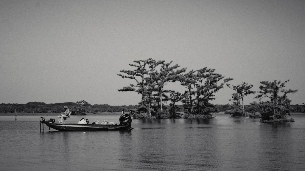
The photo at the top of this page is not Pascagoula River.
It is a regional stand-in, honestly captioned but generic — we will not put a name to a river we cannot prove. Send us a photograph you took here and it replaces the stand-in, with your credit on it.
Pioneer badgeUnclaimed
Add a photo of this water
Landscape, not fish — the water itself. Reviewed by hand before it appears. The first one published here earns the Pioneer badge.
Fished this water? Add a photo
Reviewed by hand before it appears. Pick the water, not the spot — we never publish exact locations.
Access
Highway 26 and the Leaf and Chickasawhay junction: the top of the main stem.
Wade and Cumbest Bluff: mid-river landings with parking.
Graham Ferry: access near the gauge on the lower river.
Pascagoula River Wildlife Management Area: extensive public land and primitive camping.
Highway 63 landings: the main lower-river ramps.
Pascagoula and the Gulf: tidal water, redfish and speckled trout.
Sandbar camping is first-come and legal on most of the river; pack out everything.
Seasons
March through May: high, cool water and the best bass fishing of the year.
June through August: hot, low and buggy; fish early, camp on the bars, watch the weather.
September through November: falling water, clearing river and comfortable camping.
December through February: cold and quiet; high-water events after winter rain.
From the water
No logged trips yet. Be the first to put this water on your map.
Log this water
Fished it or cleaned it? Log in or create a free account to log a trip with photos and earn the waterway badge.
Questions
What species can you catch on the Pascagoula River?
Anglers target Bluegill, Channel Catfish, Flathead Catfish, Largemouth Bass, Longear Sunfish, Red Drum, Redear Sunfish, Spotted Bass, Spotted Seatrout on the Pascagoula River in Mississippi.
Are there fishing guides on the Pascagoula River?
GuidedFloats lists 1 guide and outfitters on the Pascagoula River. Claimed profiles accept booking requests; unclaimed profiles are built from public records and link to the business.
Where can you access the Pascagoula River?
Highway 26 and the Leaf and Chickasawhay junction: the top of the main stem. Wade and Cumbest Bluff: mid-river landings with parking. Graham Ferry: access near the gauge on the lower river. Pascagoula River Wildlife Management Area: extensive public land and primitive camping. Highway 63 landings: the main lower-river ramps. Pascagoula and the Gulf: tidal water, redfish and speckled trout. Sandbar camping is first-come and legal on most of the river; pack out everything.
When is the best time to fish the Pascagoula River?
March through May: high, cool water and the best bass fishing of the year. June through August: hot, low and buggy; fish early, camp on the bars, watch the weather. September through November: falling water, clearing river and comfortable camping. December through February: cold and quiet; high-water events after winter rain.
Where are the fishing regulations for the Pascagoula River?
Regulations change by season and section. Read the current rules on the Mississippi agency site: https://www.mdwfp.com/enforcement-education/general-fishing-rules-regulations