Cheoah River Fishing Guides
A steep boulder river in Graham County brought back from a nearly dry channel by a licence settlement, with scheduled releases and technical wild trout fishing between them.
Guides on the Cheoah River
Claimed profiles take booking requests. Unclaimed profiles are built from public records so the river is never empty; the guide can claim or remove one any time.
No guides listed yet
Guide or outfit this water? Create your profile. Listing is free, the commission is 10% or 7% with a premium profile, and premium profiles list first on this water.
About the Cheoah River
The Cheoah is one of the better conservation stories in the southern Appalachians. For most of the twentieth century the river below Santeetlah Dam ran almost dry, with nearly all of its water diverted through a powerhouse to the Little Tennessee. A federal licence settlement in the 2000s restored a continuous minimum flow to the nine-mile channel between the dam and the Little Tennessee at Calderwood, and the river came back. It now runs cold and steady through a steep boulder gorge alongside the Tail of the Dragon country in Graham County.
The trout fishing here is technical and rewarding. Brown and rainbow trout hold in the pockets and slots between very large boulders, brook trout come out of the cold feeder branches, and the fish are wild and wary because access is difficult and the reach is short. This is short-line nymph work and careful boulder-hopping rather than open casting, and studded boots are not optional on this bed. Below the confluence the water turns to smallmouth as it enters the Little Tennessee system.
The important thing to understand is that this is a release river with a published whitewater schedule. On scheduled release weekends the channel goes from a fishable minimum flow to a hard class four run in minutes, and anyone in the riverbed at that point is in serious trouble. Check the release calendar as well as this gauge, which reports discharge, stage and water temperature. Note the station name carries no dam reference, so the gauge is typed as an ordinary river reading even though the flow is entirely controlled upstream. The practical plan is to fish the river on a non-release day, park at a pull-off with a clear line back to the road, and treat any sudden rise in the water as the schedule starting early.
This water needs a real photo
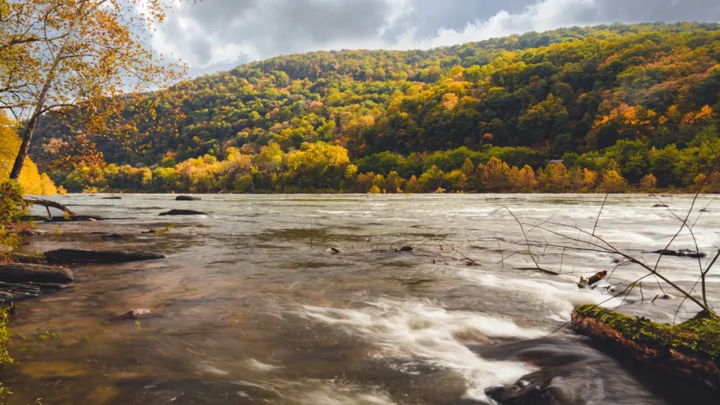
The photo at the top of this page is not Cheoah River.
It is a regional stand-in, honestly captioned but generic — we will not put a name to a river we cannot prove. Send us a photograph you took here and it replaces the stand-in, with your credit on it.
Add a photo of this water
Landscape, not fish — the water itself. Reviewed by hand before it appears. The first one published here earns the Pioneer badge.
Fished this water? Add a photo
Reviewed by hand before it appears. Pick the water, not the spot — we never publish exact locations.
Access
Tapoco and the Highway 129 corridor - the main roadside access along the restored reach.
Santeetlah Dam - the top of the restored flow and the release point.
The Cheoah gorge pull-offs on Highway 129 - steep scrambles down to the boulder water.
Calderwood at the Little Tennessee confluence - the bottom of the river reach.
Santeetlah Lake public ramps - still-water access above the dam.
Joyce Kilmer Slickrock Wilderness nearby - walk-in access to the cold feeder streams.
Robbinsville area outfitters - the local source for the current release schedule.
Seasons
Spring: strong minimum flows, good hatches and frequent scheduled whitewater releases to plan around.
Summer: cool release water when the mountain freestones are too warm - the best reason to come here.
Fall: falling flows, clearer water and the most comfortable wading of the year between releases.
Winter: cold and quiet, with icy boulders, difficult footing and almost no other anglers.
From the water
No logged trips yet. Be the first to put this water on your map.
Log this water
Fished it or cleaned it? Log in or create a free account to log a trip with photos and earn the waterway badge.
Questions
What is the current flow on the Cheoah River?
As of Sep 17, 5:00 am, the USGS gauge CHEOAH RIVER NR BEARPEN GAP NR TAPOCO, NC reads 94 cfs, with water temperature 75.9 F. Conditions update every 15 minutes.
What species can you catch on the Cheoah River?
Anglers target Brook Trout, Brown Trout, Rainbow Trout, Redbreast Sunfish, Rock Bass, Smallmouth Bass on the Cheoah River in North Carolina.
Where can you access the Cheoah River?
Tapoco and the Highway 129 corridor - the main roadside access along the restored reach. Santeetlah Dam - the top of the restored flow and the release point. The Cheoah gorge pull-offs on Highway 129 - steep scrambles down to the boulder water. Calderwood at the Little Tennessee confluence - the bottom of the river reach. Santeetlah Lake public ramps - still-water access above the dam. Joyce Kilmer Slickrock Wilderness nearby - walk-in access to the cold feeder streams. Robbinsville area outfitters - the local source for the current release schedule.
When is the best time to fish the Cheoah River?
Spring: strong minimum flows, good hatches and frequent scheduled whitewater releases to plan around. Summer: cool release water when the mountain freestones are too warm - the best reason to come here. Fall: falling flows, clearer water and the most comfortable wading of the year between releases. Winter: cold and quiet, with icy boulders, difficult footing and almost no other anglers.
Where are the fishing regulations for the Cheoah River?
Regulations change by season and section. Read the current rules on the North Carolina agency site: https://www.ncwildlife.gov/fishing/regulations