Rio Chama below El Vado Dam Fishing Guides
The uppermost regulated reach of the Rio Chama, cold releases out of El Vado Dam into a canyon, and genuine trout water in a state short of reliable cold flow.
Guides on the Rio Chama below El Vado Dam
Claimed profiles take booking requests. Unclaimed profiles are built from public records so the river is never empty; the guide can claim or remove one any time.
No guides listed yet
Guide or outfit this water? Create your profile. Listing is free, the commission is 10% or 7% with a premium profile, and premium profiles list first on this water.
About the Rio Chama below El Vado Dam
The Rio Chama below El Vado Dam is the uppermost of the regulated reaches on a river that is controlled for most of its length in northern New Mexico. El Vado sits in Rio Arriba County in high country west of the Brazos cliffs, and the water released from it runs south through a canyon toward Abiquiu Reservoir and eventually to the Rio Grande near Espanola. Cold, steady releases out of the dam make this a genuine trout tailwater in a state where reliable cold water is scarce and valuable.
Flows here are managed rather than natural, and that is the single most important thing to understand before fishing the reach. Releases are set for storage, irrigation and downstream delivery obligations, and they can change substantially with little notice. The water fishes very differently at a low winter release than it does during a high summer delivery, and the river is also subject to scheduled recreational releases that send rafts through the canyon below the dam.
Brown trout are the mainstay and they hold well in the canyon water, using the deeper runs and the shelves along the bedrock. Rainbows are stocked and hold over in good numbers. The wider drainage carries Rio Grande cutthroat trout, the state fish, in its tributaries and in some managed reaches, and kokanee salmon move out of the reservoir into the river. Suckers are abundant and are a large part of why the browns here do so well.
Access below the dam runs through public ground and the roads down to the river, and the canyon further downstream is far more easily reached by boat than on foot. Anyone planning a float should check the release schedule before the weather forecast. The gauge below El Vado reads discharge and stage and carries no water temperature, so a thermometer earns its place in summer when releases warm and trout drop back to the coldest water they can find.
This water needs a real photo
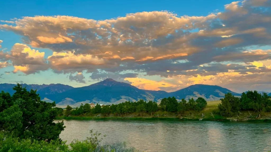
The photo at the top of this page is not Rio Chama below El Vado Dam.
It is a regional stand-in, honestly captioned but generic — we will not put a name to a river we cannot prove. Send us a photograph you took here and it replaces the stand-in, with your credit on it.
Add a photo of this water
Landscape, not fish — the water itself. Reviewed by hand before it appears. The first one published here earns the Pioneer badge.
Fished this water? Add a photo
Reviewed by hand before it appears. Pick the water, not the spot — we never publish exact locations.
Access
El Vado Dam - the structure at the gauge, and the head of the regulated reach.
El Vado Lake State Park - the state park on the reservoir above, with camping and ramps.
Heron Lake State Park - the neighbouring reservoir, with further camping and a second fishery.
Abiquiu Reservoir - the downstream impoundment, which sets conditions on the middle river.
Chama - the northern town, with lodging, tackle and guides working the region.
Tierra Amarilla - the county seat nearest the dam, and the closest local services.
Rio Chama Wild and Scenic reach - the canyon below, floated on scheduled releases.
Seasons
Spring: runoff and changing releases make conditions unsettled, but fish feed hard as the water warms.
Summer: high delivery releases push flows up, and the reach fishes best early and late.
Fall: the best window of the year, with steadier low releases, cooling water and browns colouring up before spawning.
Winter: low, clear and cold, with technical fishing for browns holding in the deeper runs.
From the water
No logged trips yet. Be the first to put this water on your map.
Log this water
Fished it or cleaned it? Log in or create a free account to log a trip with photos and earn the waterway badge.
Questions
What is the current flow on the Rio Chama below El Vado Dam?
As of Oct 18, 4:30 pm, the USGS gauge RIO CHAMA BELOW EL VADO DAM, NM reads 153 cfs. Conditions update every 15 minutes.
What species can you catch on the Rio Chama below El Vado Dam?
Anglers target Brook Trout, Brown Trout, Kokanee Salmon, Rainbow Trout, Rio Grande Cutthroat Trout, White Sucker on the Rio Chama below El Vado Dam in New Mexico.
Where can you access the Rio Chama below El Vado Dam?
El Vado Dam - the structure at the gauge, and the head of the regulated reach. El Vado Lake State Park - the state park on the reservoir above, with camping and ramps. Heron Lake State Park - the neighbouring reservoir, with further camping and a second fishery. Abiquiu Reservoir - the downstream impoundment, which sets conditions on the middle river. Chama - the northern town, with lodging, tackle and guides working the region. Tierra Amarilla - the county seat nearest the dam, and the closest local services. Rio Chama Wild and Scenic reach - the canyon below, floated on scheduled releases.
When is the best time to fish the Rio Chama below El Vado Dam?
Spring: runoff and changing releases make conditions unsettled, but fish feed hard as the water warms. Summer: high delivery releases push flows up, and the reach fishes best early and late. Fall: the best window of the year, with steadier low releases, cooling water and browns colouring up before spawning. Winter: low, clear and cold, with technical fishing for browns holding in the deeper runs.
Where are the fishing regulations for the Rio Chama below El Vado Dam?
Regulations change by season and section. Read the current rules on the New Mexico agency site: https://wildlife.dgf.nm.gov/fishing/