Rio Grande below Elephant Butte Dam Fishing Guides
The warmwater tailwater reach between Elephant Butte and Caballo, running past Truth or Consequences — a release-driven river with bass, walleye and white bass pushed through from the reservoir above.
Map of the Rio Grande below Elephant Butte Dam
20 numbered points: 5 campsites, 6 parks and conservation areas, 1 regulation section limit, 6 hazards, 1 USGS gauge, 1 point of interest. Tap a marker for details. Reviewed Sep 25, 2026.
- Campsite (5)
- Park / conservation area (6)
- Regulation section limit (1)
- Dam / hazard (6)
- USGS gauge (1)
- Point of interest (1)
Print it. Bag it. Bring it.Phones die, screens crack, and most of this water has no signal. Print this map, fold it into a zip-top bag or dry bag with your license, and you have a backup your electronics can’t give you. Every marker is numbered so you can say exactly where you are.
Open the printable mapAll 20 points on this map
| # | Point | Type | Lat, Lon | Notes |
|---|---|---|---|---|
| 1 | Special-regulation reach - upper limit 19.31.4.11(A)(5)(e) NMAC - power line crossing | Regulation section limit | 33.15356, -107.19262 | Upper limit of the Sierra County special-regulation reach, which the rule book bounds at the power line crossing above the Cuchillo Creek confluence and runs down to and including Caballo Lake. Measured at the 115 kV crossing. |
| 2 | Elephant Butte Dam Bureau of Reclamation - dam | Dam / hazard | 33.15475, -107.19250 | The dam that makes this a tailwater; releases set the flow in everything below it. It is also the upstream end of the Sierra County reach designated as trout water. |
| 3 | USGS gauge - Rio Grande below Elephant Butte Dam USGS streamgage 08361000 | USGS gauge | 33.14851, -107.20678 | The reference gauge for this water; read it before you drive out. It sits about a mile below the dam. |
| 4 | Paseo del Rio Campground campground - first mile below the dam | Campsite | 33.14718, -107.20683 | The only campground on the tailwater itself, on river left within the first two kilometres below Elephant Butte Dam. |
| 5 | Cuchillo Creek confluence tributary mouth - km 3.6 | Point of interest | 33.14827, -107.22089 | The anchor the New Mexico rule book uses for this reach; the special-regulation water starts at the power line crossing just above it. Measured this run, not taken from the text. |
| 6 | Ralph Edwards Park Truth or Consequences - riverside park | Park / conservation area | 33.12908, -107.24922 | Riverside city park on the left bank through Truth or Consequences, with parking and walk-in bank access. |
| 7 | Rotary Park Truth or Consequences - riverside park | Park / conservation area | 33.12268, -107.25509 | The second of the two Truth or Consequences parks that front the river directly; walk-in bank access and parking. |
| 8 | Caballo Lake State Park NM State Parks - ramp, docks, camping | Park / conservation area | 32.99830, -107.29452 | The park that wraps the reservoir: one boat ramp, two boat docks, lakeshore access, four campgrounds totalling about 170 developed sites, and boat-in primitive camping. Park office 07:30-16:30. |
| 9 | Palomino Campground Caballo Lake State Park | Campsite | 32.90999, -107.30866 | The only campground the state park names on its own page, at the south end of the reservoir; it carries the park RV dump station. |
| 10 | Caballo Dam Bureau of Reclamation - dam | Dam / hazard | 32.89609, -107.29864 | The downstream end of both Sierra County regulation reaches. Get off the water well above it. |
| 11 | Riverside Campground Caballo Lake State Park - below the dam | Campsite | 32.89109, -107.29301 | Campground on the river immediately below Caballo Dam, on the first stretch of the lower tailwater. |
| 12 | Percha Dam diversion dam | Dam / hazard | 32.86854, -107.30371 | Irrigation diversion about four kilometres below Caballo Dam. Portage; do not run it. |
| 13 | Percha Dam State Park NM State Parks - camping, no ramp | Park / conservation area | 32.86739, -107.30569 | Cottonwood bosque park beside the diversion dam: 29 developed sites, 30 electric sites with water, group sites and showers, and about three miles of trail. The park lists no boat ramp and no boating. |
| 14 | Leasburg Diversion Dam diversion dam | Dam / hazard | 32.49698, -106.92346 | The diversion the state park is named for. Portage; no swimming within 150 feet of it. |
| 15 | Leasburg Dam State Park NM State Parks - non-motorized only | Park / conservation area | 32.49440, -106.92158 | Non-motorized only - canoe and kayak, no boat ramp, 23 sites, visitor centre. The two day-use areas are not interchangeable: fishing is the south day-use and trail area only, and is prohibited at the north day-use area and the canal. |
| 16 | Cactus Patch Campground Leasburg Dam State Park | Campsite | 32.49331, -106.91985 | One of the two named campgrounds inside Leasburg Dam State Park, a few minutes walk from the river. |
| 17 | Greasewood Campground Leasburg Dam State Park | Campsite | 32.49066, -106.92036 | The second named campground inside Leasburg Dam State Park, just downstream of Cactus Patch. |
| 18 | La Llorona Park Las Cruces - riverside park | Park / conservation area | 32.29631, -106.82815 | The one Las Cruces park that genuinely fronts the river, with the La Llorona Trail running the levee beside it for several kilometres. |
| 19 | Mesilla Diversion Dam diversion dam | Dam / hazard | 32.22785, -106.79828 | Irrigation diversion below Mesilla. Portage; it sits square on the centreline. |
| 20 | American Diversion Dam diversion dam - state line | Dam / hazard | 31.78423, -106.52813 | The structure at the downstream end of the New Mexico reach, where the river reaches the Texas line and the international diversion. This sheet stops here. |
Guides on the Rio Grande below Elephant Butte Dam
Claimed profiles take booking requests. Unclaimed profiles are built from public records so the river is never empty; the guide can claim or remove one any time.
No guides listed yet
Guide or outfit this water? Create your profile. Listing is free, the commission is 10% or 7% with a premium profile, and premium profiles list first on this water.
About the Rio Grande below Elephant Butte Dam
Below Elephant Butte Dam the Rio Grande enters a short, intensely managed reach that runs about twenty-five river miles south past Truth or Consequences to the head of Caballo Reservoir. It is a warmwater tailwater rather than a coldwater one — releases come off Elephant Butte at temperatures that suit bass and walleye rather than trout — and the whole character of the fishing is dictated by the irrigation calendar. During the delivery season the river runs full and pushy; outside it, releases drop away and the river shrinks to a series of connected pools and riffles that can be waded across.
The fish are largely pushed through from the reservoir above or resident in the deeper holes. White bass are the most reliable and most fun target, schooling and feeding hard on the current seams below the dam. Walleye come through the gates and hold in the deeper runs. Largemouth and smallmouth bass work the rock and the eddy lines, and the catfish fishery is excellent, with channel, blue and flathead catfish all present and flatheads reaching serious weight in the deep bends. Striped bass occasionally come through from the reservoir and are a genuine bonus fish. Longnose gar patrol the slower water.
Access is straightforward and mostly bank-based. State Highway 51 and 187 parallel the reach, and there is public access below the dam, through Truth or Consequences, and at several crossings on the way to Caballo. Small boats and kayaks work when releases are running; at low release the river is a wading and walking fishery. Because flows can change substantially and quickly when the gates move, checking the release before committing to a wade is not optional.
The gauge below the dam reports releases directly and is the single most important reference for this reach. It tells you not only whether the river is fishable but which style of fishing the day will be.
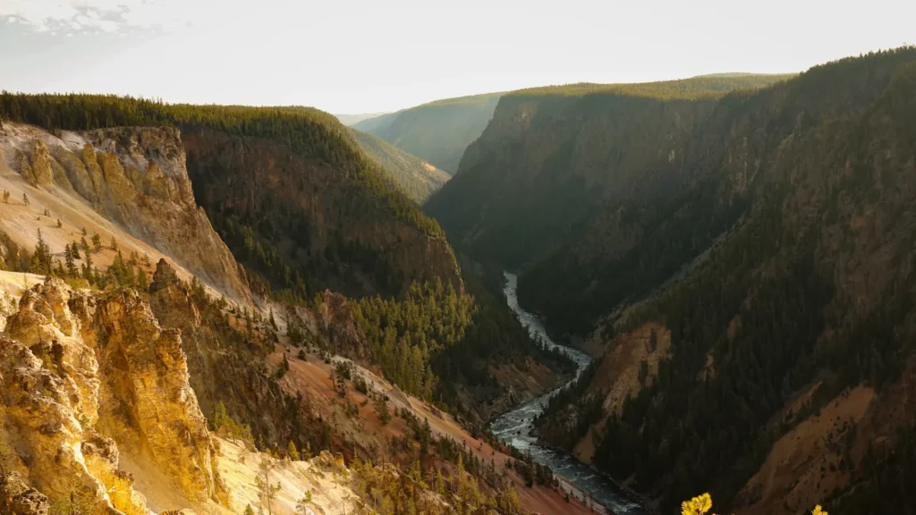
This water needs a real photo
The photo at the top of this page is not Rio Grande below Elephant Butte Dam.
It is a regional stand-in, honestly captioned but generic — we will not put a name to a river we cannot prove. Send us a photograph you took here and it replaces the stand-in, with your credit on it.
Add a photo of this water
Landscape, not fish — the water itself. Reviewed by hand before it appears. The first one published here earns the Pioneer badge.
Fished this water? Add a photo
Reviewed by hand before it appears. Pick the water, not the spot — we never publish exact locations.
Access
Elephant Butte Dam tailrace — bank access immediately below the gates, the prime white bass water.
Rock Canyon and the dam access road — pull-offs along the upper tailwater.
Truth or Consequences riverside parks — town access with parking and easy bank fishing.
Highway 187 crossings — road access through the middle of the reach.
Williamsburg area accesses — lower tailwater bank fishing.
Caballo Lake State Park north end — access at the bottom of the reach where the river enters the reservoir.
Percha Dam State Park — below Caballo, an extension of the same managed river system.
Seasons
Spring: white bass and walleye concentrate below the dam as releases begin; the best fishing of the year.
Summer: full irrigation releases make for pushy water; catfish dominate and bass hold on the eddy lines.
Fall: releases taper and the river drops; wading becomes easy and bass fishing improves through October.
Winter: low, clear and slow, with catfish and the occasional walleye in the deeper holes.
From the water
No logged trips yet. Be the first to put this water on your map.
Log this water
Fished it or cleaned it? Log in or create a free account to log a trip with photos and earn the waterway badge.
Questions
What is the current flow on the Rio Grande below Elephant Butte Dam?
As of Nov 2, 5:00 am, the USGS gauge RIO GRANDE BELOW ELEPHANT BUTTE DAM, NM reads 3 cfs. Conditions update every 15 minutes.
What species can you catch on the Rio Grande below Elephant Butte Dam?
Anglers target Blue Catfish, Channel Catfish, Flathead Catfish, Largemouth Bass, Longnose Gar, Smallmouth Bass, Striped Bass, Walleye, White Bass on the Rio Grande below Elephant Butte Dam in New Mexico.
Where can you access the Rio Grande below Elephant Butte Dam?
Elephant Butte Dam tailrace — bank access immediately below the gates, the prime white bass water. Rock Canyon and the dam access road — pull-offs along the upper tailwater. Truth or Consequences riverside parks — town access with parking and easy bank fishing. Highway 187 crossings — road access through the middle of the reach. Williamsburg area accesses — lower tailwater bank fishing. Caballo Lake State Park north end — access at the bottom of the reach where the river enters the reservoir. Percha Dam State Park — below Caballo, an extension of the same managed river system.
When is the best time to fish the Rio Grande below Elephant Butte Dam?
Spring: white bass and walleye concentrate below the dam as releases begin; the best fishing of the year. Summer: full irrigation releases make for pushy water; catfish dominate and bass hold on the eddy lines. Fall: releases taper and the river drops; wading becomes easy and bass fishing improves through October. Winter: low, clear and slow, with catfish and the occasional walleye in the deeper holes.
Where are the fishing regulations for the Rio Grande below Elephant Butte Dam?
Regulations change by season and section. Read the current rules on the New Mexico agency site: https://wildlife.dgf.nm.gov/fishing/