Fishes San Juan River
Tailwater · Four Corners · New Mexico
San Juan River Fishing Guides
Navajo Dam tailwater with dense populations of large rainbow trout in the quality waters, fished by drift boat and wading with tiny midge and baetis patterns in clear, cold water year-round.
Map of the San Juan River
15 numbered points: 2 access points, 1 campsite, 1 outfitter, 1 bridge, 8 parks and conservation areas, 1 hazard, 1 USGS gauge. Tap a marker for details. Reviewed Sep 7, 2026.
- Access / boat ramp (2)
- Campsite (1)
- Outfitter / canoe rental (1)
- Bridge crossing (1)
- Park / conservation area (8)
- Dam / hazard (1)
- USGS gauge (1)
Map data © OpenStreetMap contributors. Points are curated from OpenStreetMap and state agency sources; confirm access and hours before you go.
Print it. Bag it. Bring it.Phones die, screens crack, and most of this water has no signal. Print this map, fold it into a zip-top bag or dry bag with your license, and you have a backup your electronics can’t give you. Every marker is numbered so you can say exactly where you are.
Open the printable mapAll 15 points on this map
| # | Point | Type | Lat, Lon | Notes |
|---|---|---|---|---|
| 1 | Navajo Dam Bureau of Reclamation · head of the tailwater | Dam / hazard | 36.80381, -107.61266 | The San Juan tailwater starts here. Everything below fishes on dam releases, so read the gauge before you commit to a float. |
| 2 | Quality Waters parking, upper lot Unnamed in OpenStreetMap · north bank | Access / boat ramp | 36.82315, -107.66017 | Large lot about 3.3 river miles below the dam, at the head of the braided water. Position from OSM; the sign at the lot names the reach. |
| 3 | Quality Waters parking, lower lot Unnamed in OpenStreetMap · north bank | Access / boat ramp | 36.81696, -107.67214 | Second big lot, about 4.3 river miles down, just above Cottonwood Campground. |
| 4 | Cottonwood Campground Navajo Lake State Park | Campsite | 36.81175, -107.67585 | Riverside campground on the north bank about 4.7 river miles below the dam - the usual base for a multi-day trip. |
| 5 | Old Road River Tract BLM Farmington Field Office | Park / conservation area | 36.80909, -107.70095 | Public river tract where the state park water ends; walk-in access on foot from the river road. |
| 6 | San Juan Fishing Easement, upper New Mexico Game & Fish easement | Park / conservation area | 36.80557, -107.69963 | Signed public easement across private ground. Stay inside the marked boundary. |
| 7 | Navajo Dam Road (NM 511) bridge Navajo Dam village | Bridge crossing | 36.80492, -107.70001 | First road crossing below the dam, about 6.6 river miles down. The village and its services sit on the north side. |
| 8 | USGS 09355500 - San Juan River near Archuleta USGS monitoring location | USGS gauge | 36.80189, -107.69864 | The release gauge for the tailwater. Check it the morning you launch. |
| 9 | San Juan Fishing Easement, lower New Mexico Game & Fish easement | Park / conservation area | 36.79787, -107.71131 | Second signed easement, about 7.7 river miles below the dam. |
| 10 | Archuleta River Tract BLM Farmington Field Office | Park / conservation area | 36.79811, -107.71322 | About 7.8 river miles down - the last of the close-in public ground. |
| 11 | Majestic Enchantment Fly Fishing Re-typed from OSM leisure=park | Outfitter / canoe rental | 36.75416, -107.76467 | Fly-fishing operation on the river road roughly 13 river miles below the dam. |
| 12 | Hammond Tract Wildlife Area New Mexico Department of Game & Fish | Park / conservation area | 36.74493, -107.80251 | Public wildlife area on the river, about 16 river miles down. |
| 13 | Santa Rosa River Tract BLM Farmington Field Office | Park / conservation area | 36.70552, -107.84759 | Public tract about 21 river miles below the dam. |
| 14 | Blanco River Tract BLM Farmington Field Office | Park / conservation area | 36.70079, -107.86756 | At Blanco, about 23 river miles down. |
| 15 | Valdez River Tract BLM Farmington Field Office | Park / conservation area | 36.70980, -107.91874 | Lowest of the mapped BLM tracts, about 26 river miles below the dam. |
Guides on the San Juan River
Claimed profiles take booking requests. Unclaimed profiles are built from public records so the river is never empty; the guide can claim or remove one any time.
About the San Juan River
Navajo Dam tailwater with dense populations of large rainbow trout in the quality waters, fished by drift boat and wading with tiny midge and baetis patterns in clear, cold water year-round.
This water needs a real photo
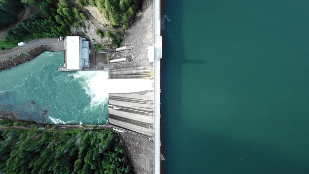
The photo at the top of this page is not San Juan River.
It is a regional stand-in, honestly captioned but generic — we will not put a name to a river we cannot prove. Send us a photograph you took here and it replaces the stand-in, with your credit on it.
Pioneer badgeUnclaimed
Add a photo of this water
Landscape, not fish — the water itself. Reviewed by hand before it appears. The first one published here earns the Pioneer badge.
Fished this water? Add a photo
Reviewed by hand before it appears. Pick the water, not the spot — we never publish exact locations.
From the water
No logged trips yet. Be the first to put this water on your map.
Log this water
Fished it or cleaned it? Log in or create a free account to log a trip with photos and earn the waterway badge.
Questions
What is the current flow on the San Juan River?
As of Oct 18, 5:15 pm, the USGS gauge SAN JUAN RIVER NEAR ARCHULETA, NM reads 272 cfs, the 8th percentile for this date, with water temperature 50.9 F. Conditions update every 15 minutes.
What species can you catch on the San Juan River?
Anglers target Brown Trout, Rainbow Trout on the San Juan River in New Mexico.
Are there fishing guides on the San Juan River?
GuidedFloats lists 5 guides and outfitters on the San Juan River. Claimed profiles accept booking requests; unclaimed profiles are built from public records and link to the business.
Where are the fishing regulations for the San Juan River?
Regulations change by season and section. Read the current rules on the New Mexico agency site: https://wildlife.dgf.nm.gov/fishing/