Animas River Fishing Guides
Southwest Colorado's signature river, running from the Silverton basin in the San Juans down a deep canyon to the well-known trout water and town float at Durango.
Map of the Animas River
20 numbered points: 2 access points, 2 campsites, 2 bait & fly shops, 10 parks and conservation areas, 2 agency offices, 1 hazard, 1 USGS gauge. Tap a marker for details. Reviewed Sep 8, 2026.
- Access / boat ramp (2)
- Campsite (2)
- Bait, tackle & fly shop (2)
- Park / conservation area (10)
- Agency / conservation office (2)
- Dam / hazard (1)
- USGS gauge (1)
Print it. Bag it. Bring it.Phones die, screens crack, and most of this water has no signal. Print this map, fold it into a zip-top bag or dry bag with your license, and you have a backup your electronics can’t give you. Every marker is numbered so you can say exactly where you are.
Open the printable mapAll 20 points on this map
| # | Point | Type | Lat, Lon | Notes |
|---|---|---|---|---|
| 1 | Silverton Memorial Park Town of Silverton | Park / conservation area | 37.81723, -107.66075 | |
| 2 | Silverton Lakes Campground Private campground, Silverton | Campsite | 37.81659, -107.65509 | |
| 3 | Silverton Field Station Field station, Silverton | Agency / conservation office | 37.81486, -107.66178 | Public-lands and research office at the top of the river; conditions in the upper Animas start here. |
| 4 | Kendall Mountain Recreation Area Town of Silverton | Park / conservation area | 37.81165, -107.65551 | Riverside recreation ground on the Animas at Silverton. |
| 5 | USGS 09358000 - Animas River at Silverton USGS streamgage | USGS gauge | 37.81111, -107.65925 | Top-of-river flow reference; the Durango reach runs well above this reading. |
| 6 | Terminal Dam Diversion structure below Rockwood | Dam / hazard | 37.52353, -107.78274 | A river-wide structure in the upper canyon; scout before running, or portage. |
| 7 | Alpen Rose RV Park Private RV park north of Durango | Campsite | 37.35062, -107.85606 | |
| 8 | Oxbow Park City of Durango | Park / conservation area | 37.30908, -107.85584 | Preserve and river access at the north end of the Animas River Trail. |
| 9 | Pioneer Park City of Durango | Park / conservation area | 37.30540, -107.86477 | |
| 10 | Memorial Park City of Durango | Park / conservation area | 37.29528, -107.86944 | River park on the east bank, on the Animas River Trail. |
| 11 | Rotary Park City of Durango | Park / conservation area | 37.28055, -107.87715 | Common put-in for the Durango town float. |
| 12 | Schneider Park City of Durango | Park / conservation area | 37.27553, -107.88427 | River-right park at Ninth Street; a standard town put-in and take-out. |
| 13 | Duranglers Flies and Supplies Fly shop, downtown Durango | Bait, tackle & fly shop | 37.27385, -107.88076 | On East 8th Avenue, two blocks off the river. |
| 14 | San Juan Public Lands Center USFS / BLM, Durango | Agency / conservation office | 37.27314, -107.89323 | Joint Forest Service and BLM office for the San Juan country. |
| 15 | Gardenswartz Outdoors Sporting goods, downtown Durango | Bait, tackle & fly shop | 37.27215, -107.88097 | |
| 16 | Santa Rita Whitewater Park City of Durango | Park / conservation area | 37.26061, -107.87827 | Whitewater park and take-out below Smelter Rapid at the south end of town. |
| 17 | Carbon Junction Trailhead Animas River Trail, south Durango | Access / boat ramp | 37.23573, -107.86676 | Trailhead parking; the river is a short walk from the lot. |
| 18 | Sale Barn Trailhead Animas River Trail, south Durango | Access / boat ramp | 37.22387, -107.85652 | |
| 19 | Dallabetta Park La Plata County | Park / conservation area | 37.22074, -107.86087 | Riverside county park below Durango. |
| 20 | Animas #2 Bald Eagle ACEC BLM area of critical environmental concern | Park / conservation area | 36.99337, -107.86078 | Protected river corridor on the lower Animas near the New Mexico line. |
Guides on the Animas River
Claimed profiles take booking requests. Unclaimed profiles are built from public records so the river is never empty; the guide can claim or remove one any time.
About the Animas River
The Animas runs the length of the San Juan Mountains and it changes completely along the way. This gauge sits at the top of the system, at Silverton, where the river is a high alpine stream draining a mineral-rich basin at over nine thousand feet. From there it falls through a long, roadless canyon paralleled only by the narrow gauge railroad, and emerges at Durango as a substantial river with a town whitewater park, a Gold Medal trout section below town and a drift boat fishery that runs down toward the New Mexico line.
Most guided fishing happens on the Durango reach and below, where brown and rainbow trout are numerous and the river is big enough to float. Above the canyon the fishing is a different pursuit entirely: small water, cutthroat and brook trout in the tributaries, short seasons and long walks. Mountain whitefish are widespread through the middle and lower river. The upper basin has a long and complicated mining legacy, and water quality in the headwaters is monitored closely, which is part of why a gauge sits here at all and why this station reports temperature alongside flow.
Runoff dominates the calendar. The San Juans hold deep snow and the Animas can run high and off-color from May well into early July, which is prime commercial rafting season and poor fishing on most of the river. Once it drops, the Durango water fishes very well through late summer and into a long, reliable autumn. Late-season low flows and warm afternoons are worth watching in dry years. Anglers should note that regulations vary by reach, with a Gold Medal designation and specific tackle rules on the section below Durango, so checking the current rules for the exact stretch matters here more than on most Colorado rivers.
This water needs a real photo
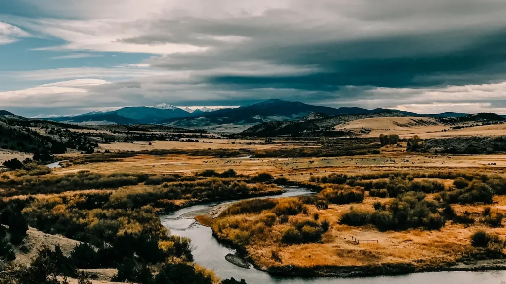
The photo at the top of this page is not Animas River.
It is a regional stand-in, honestly captioned but generic — we will not put a name to a river we cannot prove. Send us a photograph you took here and it replaces the stand-in, with your credit on it.
Add a photo of this water
Landscape, not fish — the water itself. Reviewed by hand before it appears. The first one published here earns the Pioneer badge.
Fished this water? Add a photo
Reviewed by hand before it appears. Pick the water, not the spot — we never publish exact locations.
Access
Silverton town access near the gauge - upper basin high alpine water with roadside parking.
Baker's Bridge north of Durango - upper access above the town reach and a well-known landmark.
Durango Whitewater Park at Santa Rita - developed in-town access with parking and ramps.
Twenty Ninth Street and Rotary Park in Durango - the heart of the town wading water.
High Bridge access south of Durango - the standard put-in for lower river floats.
Bondad Bridge on US 550 - lower river access above the New Mexico line.
Animas River Trail through Durango - continuous public bank access the length of town.
Seasons
Spring: high, cold and rising with San Juan snowmelt, difficult fishing and peak whitewater from May.
Summer: the river clears in July and the Durango water fishes well on caddis and terrestrials into September.
Fall: the strongest season, low clear water, brown trout coloring up and steady dry fly and streamer fishing.
Winter: cold and low with a limited but productive midge fishery on the town reach through Durango.
From the water
No logged trips yet. Be the first to put this water on your map.
Log this water
Fished it or cleaned it? Log in or create a free account to log a trip with photos and earn the waterway badge.
Questions
What is the current flow on the Animas River?
As of Sep 17, 5:00 am, the USGS gauge ANIMAS RIVER AT SILVERTON, CO. reads 43 cfs. Conditions update every 15 minutes.
What species can you catch on the Animas River?
Anglers target Brook Trout, Brown Trout, Cutthroat Trout, Mountain Whitefish, Rainbow Trout on the Animas River in Colorado.
Are there fishing guides on the Animas River?
GuidedFloats lists 3 guides and outfitters on the Animas River. Claimed profiles accept booking requests; unclaimed profiles are built from public records and link to the business.
Where can you access the Animas River?
Silverton town access near the gauge - upper basin high alpine water with roadside parking. Baker's Bridge north of Durango - upper access above the town reach and a well-known landmark. Durango Whitewater Park at Santa Rita - developed in-town access with parking and ramps. Twenty Ninth Street and Rotary Park in Durango - the heart of the town wading water. High Bridge access south of Durango - the standard put-in for lower river floats. Bondad Bridge on US 550 - lower river access above the New Mexico line. Animas River Trail through Durango - continuous public bank access the length of town...
When is the best time to fish the Animas River?
Spring: high, cold and rising with San Juan snowmelt, difficult fishing and peak whitewater from May. Summer: the river clears in July and the Durango water fishes well on caddis and terrestrials into September. Fall: the strongest season, low clear water, brown trout coloring up and steady dry fly and streamer fishing. Winter: cold and low with a limited but productive midge fishery on the town reach through Durango.
Where are the fishing regulations for the Animas River?
Regulations change by season and section. Read the current rules on the Colorado agency site: https://cpw.state.co.us/rules-and-regulations