Fishes Battenkill
River · Eastern New York in Washington County, running west out of Vermont past Shushan and Battenville to join the Hudson River at Schuylerville · New York
Battenkill Fishing Guides
A famously difficult wild brown trout river running out of Vermont into Washington County, with clear water, heavy cover and fish that reward patience over volume.
Map of the Battenkill
15 numbered points: 7 access points, 1 bridge, 1 park or conservation area, 1 regulation section limit, 4 hazards, 1 USGS gauge. Tap a marker for details. Reviewed Sep 21, 2026.
- Access / boat ramp (7)
- Bridge crossing (1)
- Park / conservation area (1)
- Regulation section limit (1)
- Dam / hazard (4)
- USGS gauge (1)
Map data © OpenStreetMap contributors. Points are curated from OpenStreetMap and state agency sources; confirm access and hours before you go.
Print it. Bag it. Bring it.Phones die, screens crack, and most of this water has no signal. Print this map, fold it into a zip-top bag or dry bag with your license, and you have a backup your electronics can’t give you. Every marker is numbered so you can say exactly where you are.
Open the printable mapAll 15 points on this map
| # | Point | Type | Lat, Lon | Notes |
|---|---|---|---|---|
| 1 | Batten Kill State Forest NYSDEC state forest | Park / conservation area | 43.08037, -73.29967 | State forest on the upper Catch-and-Release reach near Eagleville, with foot access toward the bank. Parcel centre about 1 km off the water. |
| 2 | Catch-and-Release reach - Eagleville bridge to VT line Eagleville covered bridge | Regulation section limit | 43.08324, -73.31371 | DEC's Catch-and-Release trout reach runs from the Eagleville covered bridge upstream to the Vermont line - the premier wild-brown water. Rules on DEC's page, not here. |
| 3 | Shushan Landing NYSDEC access, Shushan | Access / boat ramp | 43.07732, -73.34415 | State landing at Shushan by the County Route 64 bridge, which is DEC's Wild Quality / Stocked-Extended reach boundary. A common upper float access. |
| 4 | Shushan Covered Bridge Historic covered bridge & museum | Bridge crossing | 43.09127, -73.34554 | One of the Battenkill's landmark covered bridges, now a museum, spanning the river north of Shushan. Roadside look at the water. |
| 5 | Rexleigh Landing NYSDEC access at Rexleigh covered bridge | Access / boat ramp | 43.13478, -73.35600 | State landing at the Rexleigh covered bridge. DEC's Stocked-Extended reach runs downstream from here toward the Whittaker Brook confluence. |
| 6 | Rt 22 Landing NYSDEC access at the NY 22 bridge | Access / boat ramp | 43.14448, -73.36512 | State landing where NY Route 22 crosses the river, the northernmost float access on the New York reach. |
| 7 | Tracy Drive Landing NYSDEC hand-launch | Access / boat ramp | 43.13823, -73.41780 | State access off Tracy Drive, between the Route 22 landing and Battenville. Hand-launch and bank fishing. |
| 8 | USGS gauge 01329490 - Batten Kill below mill at Battenville Freestone reading, no temp sensor | USGS gauge | 43.10867, -73.42242 | The river's flow gauge, below the mill at Battenville (not a dam) - a freestone reading that tracks rain and snowmelt. It carries no water-temperature sensor. |
| 9 | Center Falls Landing NYSDEC access above Center Falls Dam | Access / boat ramp | 43.09810, -73.45965 | State landing at Center Falls, the take-out above the dam and roughly the end of the prime trout float. Below here the river becomes a chain of mill dams. |
| 10 | Center Falls Dam Mill dam, Center Falls | Dam / hazard | 43.09755, -73.45984 | The first mill dam below the trout reaches, at Center Falls, just below the landing. Portage; scout before committing. |
| 11 | Upper Greenwich Dam First of the Greenwich mill dams | Dam / hazard | 43.09070, -73.49454 | The uppermost of three mill dams through Greenwich village. The lower Battenkill is a series of dam pools here; portage each and mind the private frontage. |
| 12 | Mill Hollow Kayak Launch Kayak launch, Greenwich | Access / boat ramp | 43.08568, -73.49660 | Paddle launch at Greenwich among the mill dams, for the flatwater pools of the lower river below the trout water. |
| 13 | Middle Falls Kayak Launch Kayak launch, Middle Falls | Access / boat ramp | 43.09835, -73.52482 | Paddle launch at Middle Falls by the NY 29 bridge and the dam. Lower-river flatwater and smallmouth as the Battenkill nears the Hudson. |
| 14 | Middle Falls Dam Mill dam, Middle Falls | Dam / hazard | 43.09888, -73.52488 | Mill dam at Middle Falls by the NY 29 crossing. Portage. |
| 15 | Clarks Mills Lower Dam Lowest dam before the Hudson | Dam / hazard | 43.11595, -73.56747 | The last dam above the Battenkill's mouth at the Hudson near Clarks Mills. The reach below runs to the confluence at Schuylerville. |
Guides on the Battenkill
Claimed profiles take booking requests. Unclaimed profiles are built from public records so the river is never empty; the guide can claim or remove one any time.
Order on this page: premium and outfitter plans first (labelled Premium placement), then claimed free profiles, then unclaimed — one published price, no bidding for position. How placement works
About the Battenkill
The Battenkill has a reputation among eastern anglers for being beautiful, entirely wild and genuinely hard. It rises in Vermont near Manchester, crosses into New York above Shushan, and runs west through farmland and hardwood to meet the Hudson at Schuylerville. New York manages its section as a wild trout fishery with no stocking, and that is exactly what makes it difficult: the browns here have seen everything, they hold tight to undercut banks and sunken timber, and a good day is measured in a handful of fish rather than a dozen.
Brown trout are the fishery, with brook trout in the colder tributaries and the upper reaches and a few rainbows mixed in. The water is clear and the current is smooth over much of its length, which means drag-free presentation matters more here than fly selection. The classic approach is a long light leader fished to specific holding cover rather than blind casting to water. Below the trout reaches the river turns to good smallmouth water as it approaches the Hudson, which is a genuinely underfished option in the warm months.
Read the station name on this gauge carefully before assuming anything about the water. It sits below a mill at Battenville, not below a dam, so this is a freestone river reading rather than a controlled release, and flows follow rain and snowmelt in the normal way. The gauge reports discharge and stage but carries no water temperature sensor, which is a real gap on a river where summer warming pushes fish into the spring seeps. Access is a patchwork of public easements and private farmland, so check the posted boundaries. Anglers new to the river almost always do better with a guide on the first day, simply because knowing which banks hold fish saves a great deal of fruitless casting.
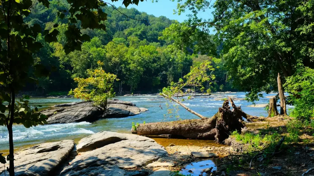
This water needs a real photo
The photo at the top of this page is not Battenkill.
It is a regional stand-in, honestly captioned but generic — we will not put a name to a river we cannot prove. Send us a photograph you took here and it replaces the stand-in, with your credit on it.
Pioneer badgeUnclaimed
Add a photo of this water
Landscape, not fish — the water itself. Reviewed by hand before it appears. The first one published here earns the Pioneer badge.
Fished this water? Add a photo
Reviewed by hand before it appears. Pick the water, not the spot — we never publish exact locations.
Access
The Route 313 corridor between the Vermont line and Shushan - the classic roadside access.
Shushan covered bridge - a well-known access point and parking area on the upper river.
Eagleville covered bridge - public access to a productive middle-river reach.
Battenville near the gauge - bank access on the lower trout water.
Greenwich village access - the transition water between trout and smallmouth.
Clarks Mills and the lower river - smallmouth access toward the Hudson.
Schuylerville at the Hudson confluence - launch access to the lowest reach.
Seasons
Spring: high water and the best hatches of the year, with Hendricksons and caddis through May.
Summer: low and very clear - fish early and late, and expect refusals in the middle of the day.
Fall: cool water, aggressive pre-spawn browns and the best streamer fishing of the year.
Winter: cold and quiet, with a closed season on most of the trout water and no pressure.
From the water
No logged trips yet. Be the first to put this water on your map.
Log this water
Fished it or cleaned it? Log in or create a free account to log a trip with photos and earn the waterway badge.
Questions
What is the current flow on the Battenkill?
As of Nov 2, 6:15 am, the USGS gauge BATTEN KILL BELOW MILL AT BATTENVILLE NY reads 158 cfs. Conditions update every 15 minutes.
What species can you catch on the Battenkill?
Anglers target Brook Trout, Brown Trout, Fallfish, Rainbow Trout, Rock Bass, Smallmouth Bass on the Battenkill in New York.
Are there fishing guides on the Battenkill?
GuidedFloats lists 1 guide and outfitters on the Battenkill. Claimed profiles accept booking requests; unclaimed profiles are built from public records and link to the business.
Where can you access the Battenkill?
The Route 313 corridor between the Vermont line and Shushan - the classic roadside access. Shushan covered bridge - a well-known access point and parking area on the upper river. Eagleville covered bridge - public access to a productive middle-river reach. Battenville near the gauge - bank access on the lower trout water. Greenwich village access - the transition water between trout and smallmouth. Clarks Mills and the lower river - smallmouth access toward the Hudson. Schuylerville at the Hudson confluence - launch access to the lowest reach.
When is the best time to fish the Battenkill?
Spring: high water and the best hatches of the year, with Hendricksons and caddis through May. Summer: low and very clear - fish early and late, and expect refusals in the middle of the day. Fall: cool water, aggressive pre-spawn browns and the best streamer fishing of the year. Winter: cold and quiet, with a closed season on most of the trout water and no pressure.
Where are the fishing regulations for the Battenkill?
Regulations change by season and section. Read the current rules on the New York agency site: https://dec.ny.gov/things-to-do/freshwater-fishing/regulations