Mongaup River Fishing Guides
A hydro-controlled western Catskill river below the Mongaup reservoirs, with cold releases, a published whitewater schedule and trout water within reach of the Delaware.
Guides on the Mongaup River
Claimed profiles take booking requests. Unclaimed profiles are built from public records so the river is never empty; the guide can claim or remove one any time.
No guides listed yet
Guide or outfit this water? Create your profile. Listing is free, the commission is 10% or 7% with a premium profile, and premium profiles list first on this water.
About the Mongaup River
The Mongaup drains a chain of Sullivan County reservoirs – Swinging Bridge, Mongaup Falls and Rio – and runs south through Mongaup Valley to meet the Delaware River at Pond Eddy. It sits in the western Catskills a short drive from the far more famous Beaverkill and Willowemoc, and it fishes very differently from either. The flow here is not natural. It is set by a hydroelectric operator, and understanding that is the whole key to fishing the river successfully.
The trout fishing is genuine and underused. Cold water coming out of the reservoirs holds brown and rainbow trout through summers that push the surrounding freestone streams past their limit, and the pocket water and plunge pools below each release reach fish well. Brook trout persist in the small tributaries. Lower down toward the Delaware the river warms and smallmouth bass, rock bass and fallfish take over, and the reservoirs themselves hold pickerel and perch. Guides in this corner of Sullivan County generally work the Delaware system and treat the Mongaup as a cold-water option when the main stems get too warm to fish ethically.
The gauge at Mongaup Valley reads the river between the reservoir chain and the Delaware. Read it as a release indicator rather than as a rainfall indicator: a step change in the trace is a generation or a scheduled whitewater release, not a storm, and the river can go from a wadeable trickle to genuinely dangerous water in minutes with no rain anywhere in the watershed. Check the operator’s published release calendar alongside this number, every single time. No temperature sensor is published at this station. Access is more limited than on the nearby Delaware tributaries, with much of the corridor in utility and state ownership and parking confined to a handful of pull-offs, so plan the day around known public reaches.
This water needs a real photo
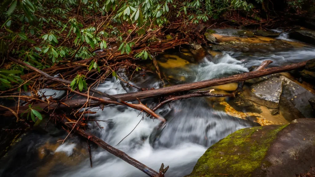
The photo at the top of this page is not Mongaup River.
It is a regional stand-in, honestly captioned but generic — we will not put a name to a river we cannot prove. Send us a photograph you took here and it replaces the stand-in, with your credit on it.
Add a photo of this water
Landscape, not fish — the water itself. Reviewed by hand before it appears. The first one published here earns the Pioneer badge.
Fished this water? Add a photo
Reviewed by hand before it appears. Pick the water, not the spot — we never publish exact locations.
Access
Route 17B crossing at Mongaup Valley - the main public bridge access near the gauge.
Mongaup Falls Reservoir access area - state-managed parking and bank fishing.
Rio Reservoir boat launch - access to the lowest impoundment in the chain.
Mongaup Valley Wildlife Management Area - walk-in access along the lower river.
Pond Eddy on the Delaware - the confluence access and a Delaware boat launch.
Swinging Bridge Reservoir ramps - upper-system stillwater access.
Plank Road pull-offs - roadside parking for the middle river pocket water.
Seasons
Spring: high, cold releases and the best trout flows of the year once the water settles between generations.
Summer: the river's real advantage, holding cold water and fishable trout when nearby freestones are too warm.
Fall: low clear water, wary fish and excellent conditions for wading the pocket water above the confluence.
Winter: cold and mostly unfished, with the reservoirs drawn down and access limited by snow on the pull-offs.
From the water
No logged trips yet. Be the first to put this water on your map.
Log this water
Fished it or cleaned it? Log in or create a free account to log a trip with photos and earn the waterway badge.
Questions
What is the current flow on the Mongaup River?
As of Sep 17, 5:30 am, the USGS gauge MONGAUP RIVER AT MONGAUP VALLEY NY reads 66 cfs. Conditions update every 15 minutes.
What species can you catch on the Mongaup River?
Anglers target Brook Trout, Brown Trout, Chain Pickerel, Fallfish, Rainbow Trout, Rock Bass, Smallmouth Bass, Yellow Perch on the Mongaup River in New York.
Where can you access the Mongaup River?
Route 17B crossing at Mongaup Valley - the main public bridge access near the gauge. Mongaup Falls Reservoir access area - state-managed parking and bank fishing. Rio Reservoir boat launch - access to the lowest impoundment in the chain. Mongaup Valley Wildlife Management Area - walk-in access along the lower river. Pond Eddy on the Delaware - the confluence access and a Delaware boat launch. Swinging Bridge Reservoir ramps - upper-system stillwater access. Plank Road pull-offs - roadside parking for the middle river pocket water.
When is the best time to fish the Mongaup River?
Spring: high, cold releases and the best trout flows of the year once the water settles between generations. Summer: the river's real advantage, holding cold water and fishable trout when nearby freestones are too warm. Fall: low clear water, wary fish and excellent conditions for wading the pocket water above the confluence. Winter: cold and mostly unfished, with the reservoirs drawn down and access limited by snow on the pull-offs.
Where are the fishing regulations for the Mongaup River?
Regulations change by season and section. Read the current rules on the New York agency site: https://dec.ny.gov/things-to-do/freshwater-fishing/regulations