Mammoth Creek Fishing Guides
Mammoth Creek rises from one of Utah's largest springs on the Markagunt Plateau and runs cold and clear year-round, the spring-fed headwater of the Sevier River.
Guides on the Mammoth Creek
Claimed profiles take booking requests. Unclaimed profiles are built from public records so the river is never empty; the guide can claim or remove one any time.
No guides listed yet
Guide or outfit this water? Create your profile. Listing is free, the commission is 10% or 7% with a premium profile, and premium profiles list first on this water.
About the Mammoth Creek
Mammoth Creek is the main headwater of the Sevier River, and it is spring water rather than snowmelt. It rises on the Markagunt Plateau from a group of large springs – Mammoth Spring among the biggest in Utah – where water that fell as snow on the high volcanic tableland reappears at the surface after a long passage underground. That origin is the whole story of the creek. It arrives cold, clear and chemically stable, it runs at a remarkably even volume through the year, and it supports wild trout in a corner of southern Utah where most streams are too warm or too intermittent to hold them.
The creek runs east through a meadow and aspen valley at better than seven thousand feet before dropping toward Hatch and the main Sevier. It is small water, easily waded and in many places easily jumped, with deep undercut meadow banks, beaver influence and clean gravel. Brown trout dominate and reproduce naturally, running heavier than the size of the stream suggests, with rainbows, brook trout and cutthroat present and mountain whitefish in the lower reaches. The fish see little pressure compared with the famous Utah tailwaters to the north, and they behave accordingly.
The gauge above the West Hatch Ditch is worth understanding, because the name is the warning. Below this point the creek is tapped for irrigation, and the water that makes the stream so dependable is substantially diverted through the growing season. The gauge therefore reads the creek at close to its natural spring-fed volume, before the ditches take their share, and the fishery immediately downstream is thinner in midsummer than the number suggests. Fish above the diversions where you can. Access is a mix of national forest, state land and private ranch, so checking boundaries matters here.
This water needs a real photo
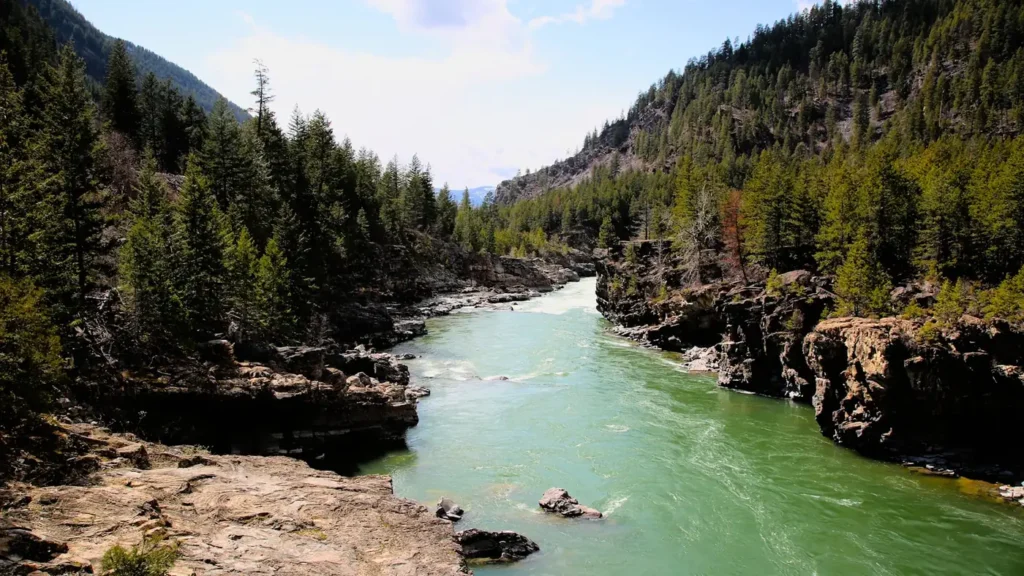
The photo at the top of this page is not Mammoth Creek.
It is a regional stand-in, honestly captioned but generic — we will not put a name to a river we cannot prove. Send us a photograph you took here and it replaces the stand-in, with your credit on it.
Add a photo of this water
Landscape, not fish — the water itself. Reviewed by hand before it appears. The first one published here earns the Pioneer badge.
Fished this water? Add a photo
Reviewed by hand before it appears. Pick the water, not the spot — we never publish exact locations.
Access
Hatch - the nearest town, on the Sevier River just below the creek, and the practical base for lodging and supplies.
Mammoth Spring - the headwater springs on the Markagunt Plateau, reached by forest road from Highway 14.
Dixie National Forest - the public land holding most of the upper creek and the surrounding plateau.
Mammoth Creek Road - the valley road giving the main access to the meadow reaches.
West Hatch Ditch diversion - the gauge reference point and the start of the irrigation withdrawals.
Sevier River confluence - just below Hatch, where Mammoth Creek becomes the Sevier.
Cedar Breaks National Monument - the high country above the springs, with the plateau headwaters nearby.
Seasons
Spring: steadier than any snowmelt stream in the region, with the creek fishable while the rest of southern Utah runs high and dirty.
Summer: cold spring flow holds the fish, though irrigation diversions below the gauge thin the lower creek through the hottest months.
Fall: the best season, with irrigation ended, flows recovering and brown trout moving onto the gravel to spawn.
Winter: cold and snowbound at this elevation, with access by road the main obstacle rather than the water itself.
From the water
No logged trips yet. Be the first to put this water on your map.
Log this water
Fished it or cleaned it? Log in or create a free account to log a trip with photos and earn the waterway badge.
Questions
What is the current flow on the Mammoth Creek?
As of Nov 2, 5:45 am, the USGS gauge MAMMOTH CREEK ABV WEST HATCH DITCH, NEAR HATCH, UT reads 67 cfs. Conditions update every 15 minutes.
What species can you catch on the Mammoth Creek?
Anglers target Brook Trout, Brown Trout, Cutthroat Trout, Mountain Whitefish, Rainbow Trout on the Mammoth Creek in Utah.
Where can you access the Mammoth Creek?
Hatch - the nearest town, on the Sevier River just below the creek, and the practical base for lodging and supplies. Mammoth Spring - the headwater springs on the Markagunt Plateau, reached by forest road from Highway 14. Dixie National Forest - the public land holding most of the upper creek and the surrounding plateau. Mammoth Creek Road - the valley road giving the main access to the meadow reaches. West Hatch Ditch diversion - the gauge reference point and the start of the irrigation withdrawals. Sevier River confluence - just below Hatch, where Mammoth Creek becomes the Sevier. Cedar Brea...
When is the best time to fish the Mammoth Creek?
Spring: steadier than any snowmelt stream in the region, with the creek fishable while the rest of southern Utah runs high and dirty. Summer: cold spring flow holds the fish, though irrigation diversions below the gauge thin the lower creek through the hottest months. Fall: the best season, with irrigation ended, flows recovering and brown trout moving onto the gravel to spawn. Winter: cold and snowbound at this elevation, with access by road the main obstacle rather than the water itself.
Where are the fishing regulations for the Mammoth Creek?
Regulations change by season and section. Read the current rules on the Utah agency site: https://wildlife.utah.gov/guidebooks.html