North Fork Virgin River Fishing Guides
The river that carved Zion Canyon, gauged above Springdale, where the discharge reading is a safety decision before it is a fishing one.
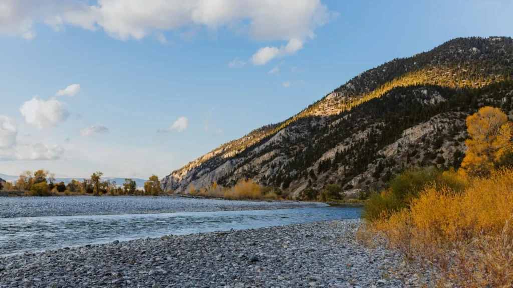
Guides on the North Fork Virgin River
Claimed profiles take booking requests. Unclaimed profiles are built from public records so the river is never empty; the guide can claim or remove one any time.
No guides listed yet
Guide or outfit this water? Create your profile. Listing is free, the commission is 10% or 7% with a premium profile, and premium profiles list first on this water.
About the North Fork Virgin River
The North Fork of the Virgin River is the river that cut Zion Canyon, and the gauge near Springdale sits at the mouth of the canyon just below the park’s main corridor. Upstream the river runs through the Narrows, a slot where the walls close to a few dozen feet apart and rise well over a thousand, and for long stretches the river is the only route through. Downstream it opens into the broader canyon floor, runs past the lodge and the shuttle stops, and leaves the park at Springdale.
The gauge reports temperature, discharge, stage and precipitation. On this river the discharge figure carries a weight it does not carry anywhere else on this site, because it is the number that governs whether the Narrows can be entered at all. The park closes the route above a threshold discharge, and the reason is flash flooding: this is a desert catchment of slickrock and thin soil, a storm many miles upstream can send a surge down a canyon with no warning at the point where people are standing in it, and there is nowhere to climb out. Checking the gauge and the park’s own flash flood forecast is a precondition of going, not a refinement.
The fishing is a secondary pleasure here rather than the main event, and it should be approached honestly. Brown trout are the most established fish in the canyon reaches, with rainbows and some cutthroat present, and the population is modest. The water is often silty, the river is warm and low through high summer, and the canyon carries very heavy visitor traffic through the main season. What it offers instead is a setting that no other trout water in the country can match, and quiet water above the developed corridor for anglers who time it well and walk far enough.
This water needs a real photo
The photo at the top of this page is not North Fork Virgin River.
It is a regional stand-in, honestly captioned but generic — we will not put a name to a river we cannot prove. Send us a photograph you took here and it replaces the stand-in, with your credit on it.
Add a photo of this water
Landscape, not fish — the water itself. Reviewed by hand before it appears. The first one published here earns the Pioneer badge.
Fished this water? Add a photo
Reviewed by hand before it appears. Pick the water, not the spot — we never publish exact locations.
Access
Springdale - the gateway town at the park boundary, with lodging, outfitters, food and the gauge reference.
Zion National Park - the canyon itself, with the shuttle system, trails and the Narrows route upstream.
The Narrows - the slot canyon above the corridor, entered only when discharge and the flood forecast allow.
Virgin River - the main stem below the park, with further access along the highway.
La Verkin - southwest, with services and access to the lower river.
Kolob Terrace - the high country northwest, with cooler water and far fewer visitors.
St. George - the regional city south, with full services, tackle and lodging.
Seasons
Spring: high and cold with snowmelt, often too pushy for the Narrows and best fished in the lower canyon.
Summer: low and warm with heavy visitor traffic, and the monsoon making flash flooding a daily consideration.
Fall: the best of the year, with settled flows, cooler water, clearing conditions and thinning crowds.
Winter: cold and quiet with few visitors, offering the most solitude of the year on mild settled days.
From the water
No logged trips yet. Be the first to put this water on your map.
Log this water
Fished it or cleaned it? Log in or create a free account to log a trip with photos and earn the waterway badge.
Questions
What is the current flow on the North Fork Virgin River?
As of Oct 18, 5:05 pm, the USGS gauge NORTH FORK VIRGIN RIVER NEAR SPRINGDALE, UT reads 51 cfs, with water temperature 58.8 F. Conditions update every 15 minutes.
What species can you catch on the North Fork Virgin River?
Anglers target Brown Trout, Cutthroat Trout, Rainbow Trout on the North Fork Virgin River in Utah.
Where can you access the North Fork Virgin River?
Springdale - the gateway town at the park boundary, with lodging, outfitters, food and the gauge reference. Zion National Park - the canyon itself, with the shuttle system, trails and the Narrows route upstream. The Narrows - the slot canyon above the corridor, entered only when discharge and the flood forecast allow. Virgin River - the main stem below the park, with further access along the highway. La Verkin - southwest, with services and access to the lower river. Kolob Terrace - the high country northwest, with cooler water and far fewer visitors. St. George - the regional city south, with...
When is the best time to fish the North Fork Virgin River?
Spring: high and cold with snowmelt, often too pushy for the Narrows and best fished in the lower canyon. Summer: low and warm with heavy visitor traffic, and the monsoon making flash flooding a daily consideration. Fall: the best of the year, with settled flows, cooler water, clearing conditions and thinning crowds. Winter: cold and quiet with few visitors, offering the most solitude of the year on mild settled days.
Where are the fishing regulations for the North Fork Virgin River?
Regulations change by season and section. Read the current rules on the Utah agency site: https://wildlife.utah.gov/guidebooks.html